Minnesota · Lake County
Lake County lake depth maps
Explore 51 lakes as 3D depth maps, built from Minnesota DNR bathymetric surveys — surveyed depth draped over real elevation and aerial imagery.
Featured depth maps
Where the lakes are
Dot size and shade follow max depth: under 15 ft 100 ft and deeper
All 51 mapped lakes in Lake County; deepest is Snowbank Lake at 140 ft. Tap a dot to open that lake.
Depth (ft)
–
Acreage
–
Max weeds (aquatic veg %)
%
County
Fish species (surveyed lakes)
Surveyed since (fishery)
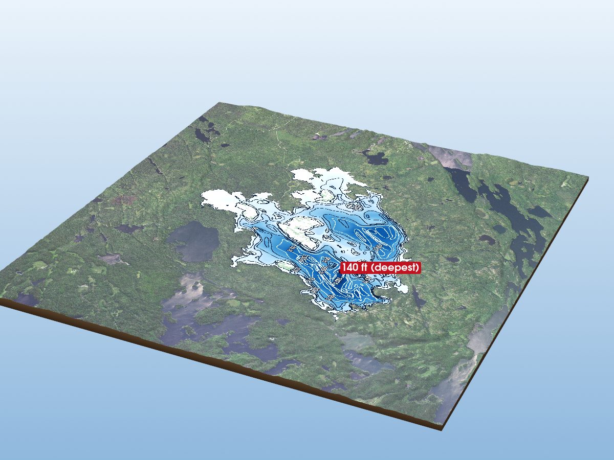
Snowbank Lake
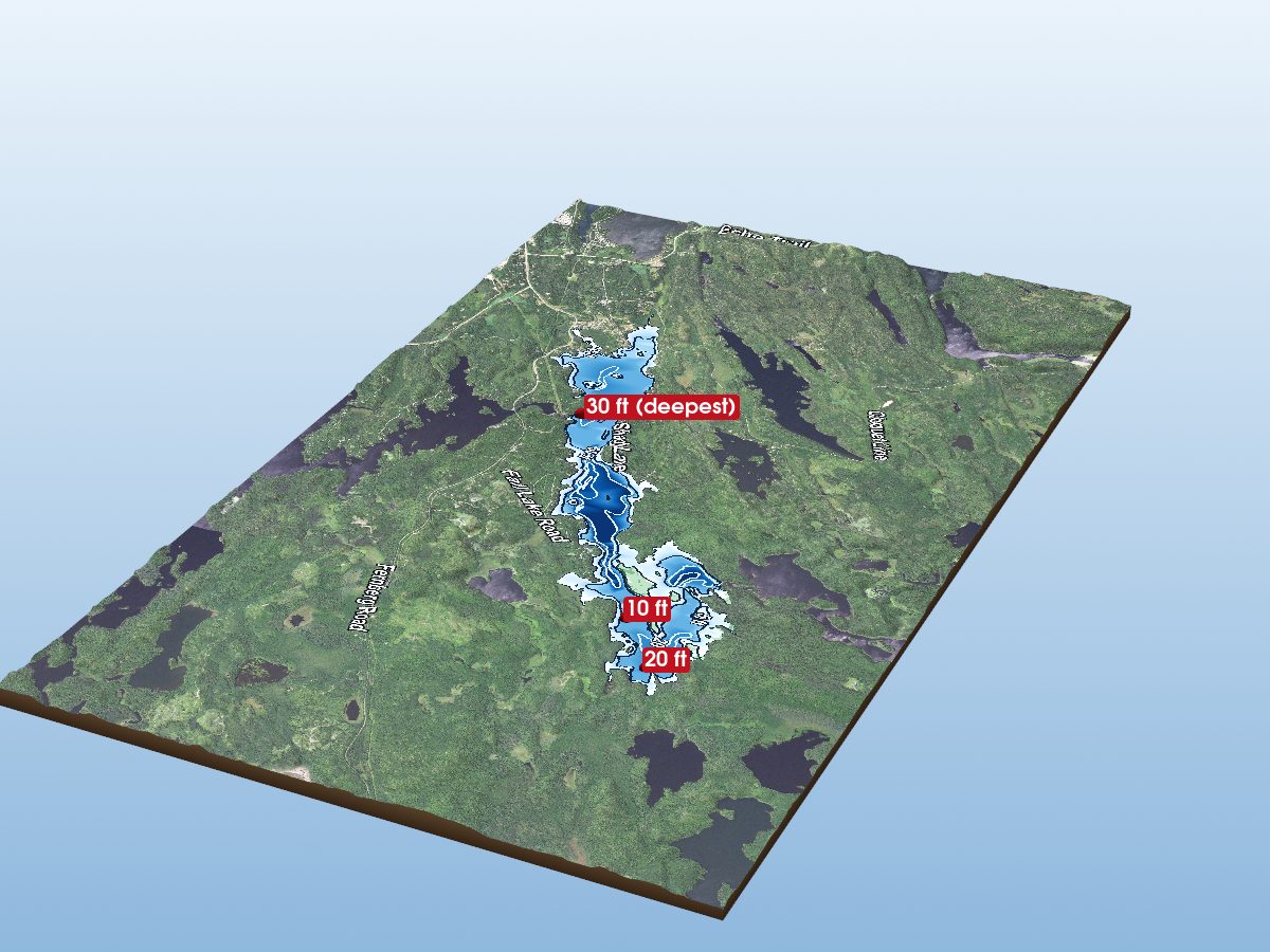
Fall Lake
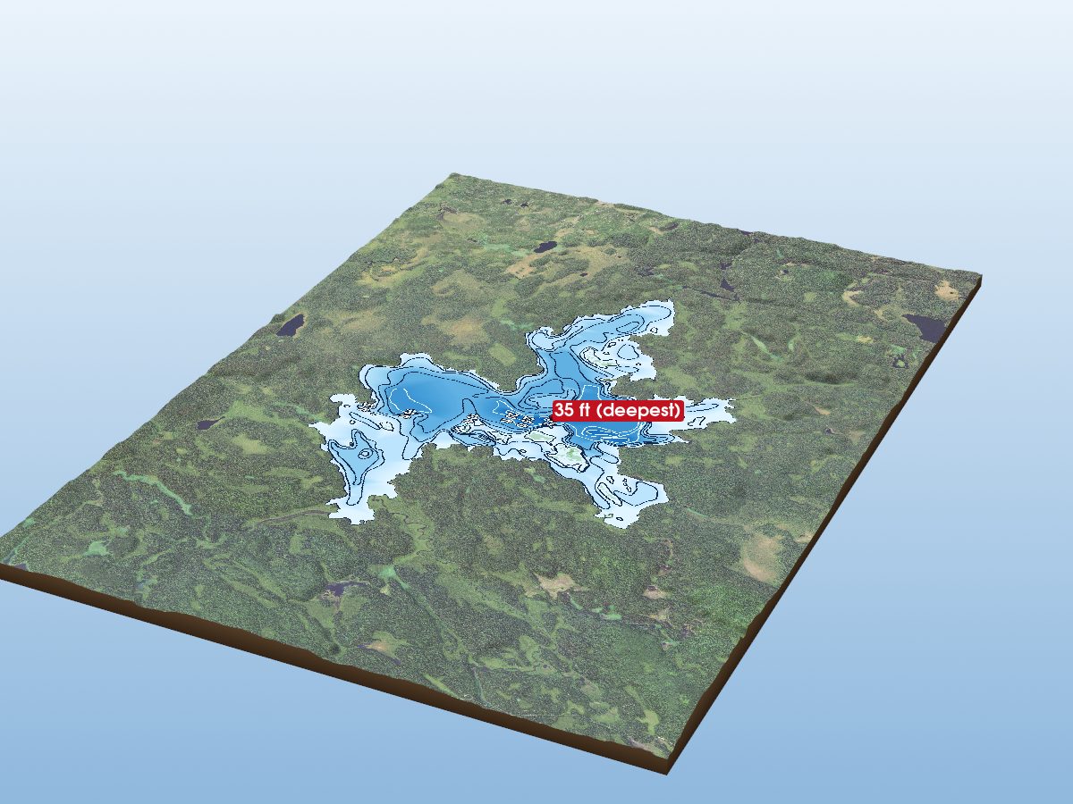
Perent Lake
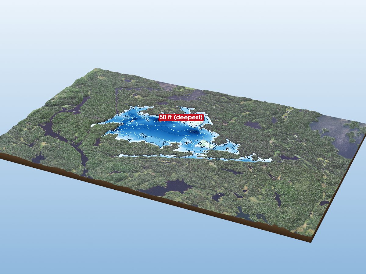
Alice Lake
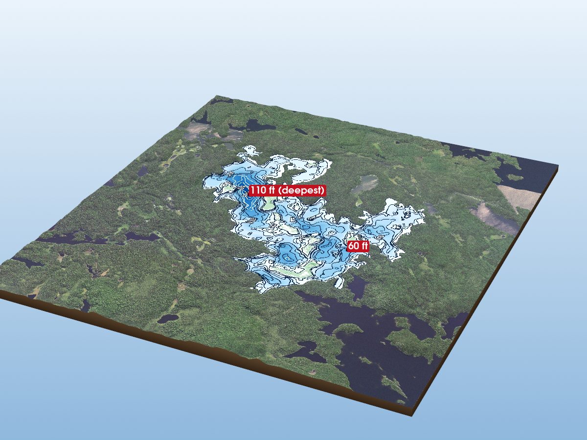
Thomas Lake
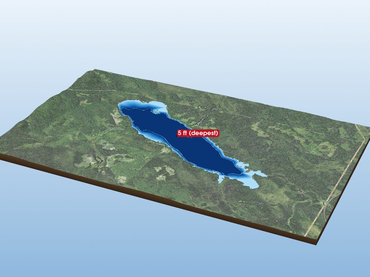
Greenwood Lake
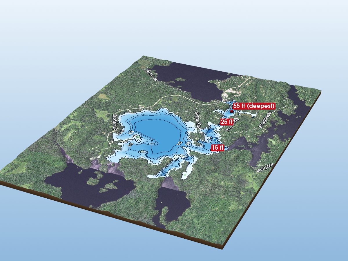
Farm Lake
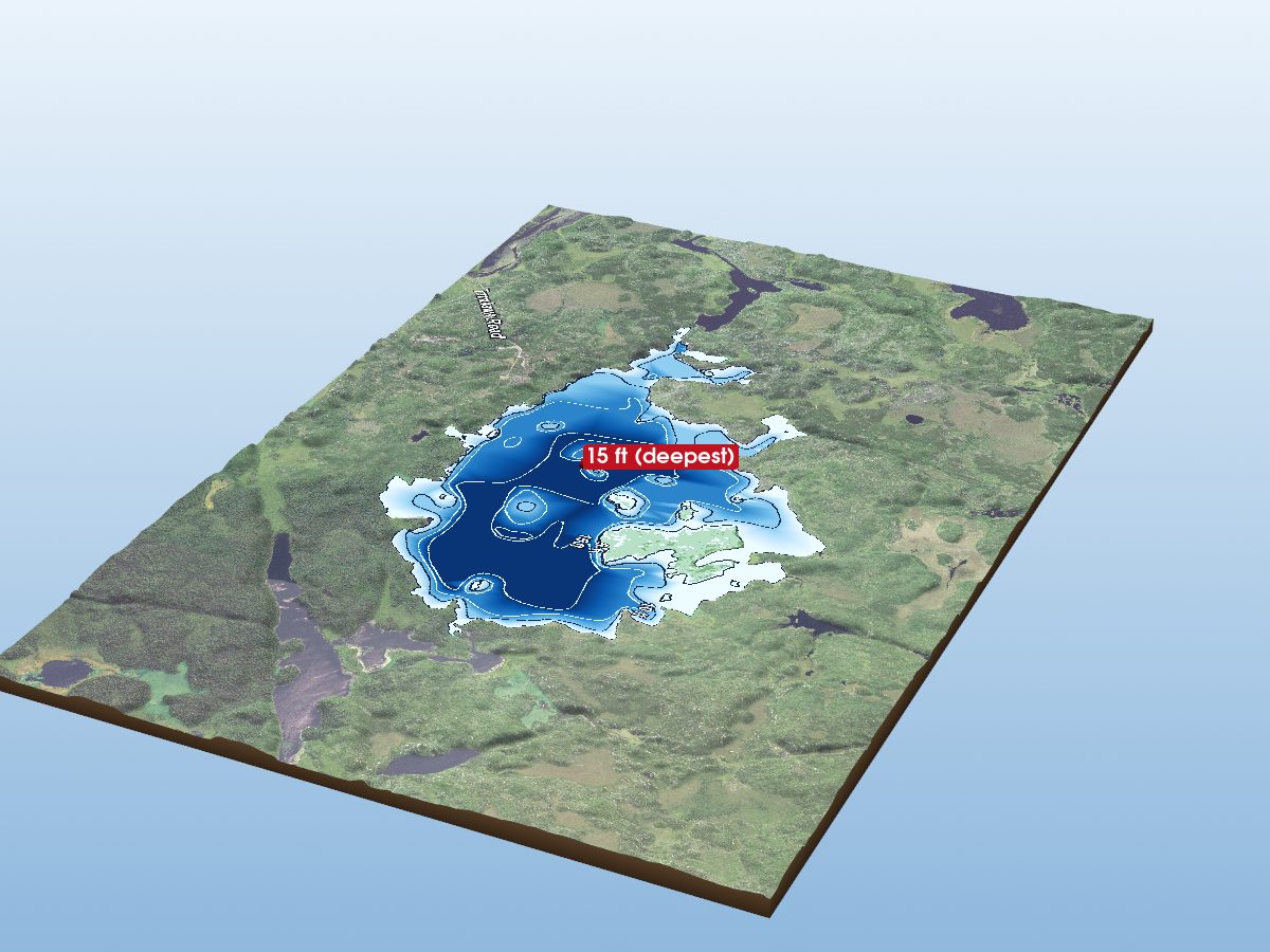
Isabella Lake
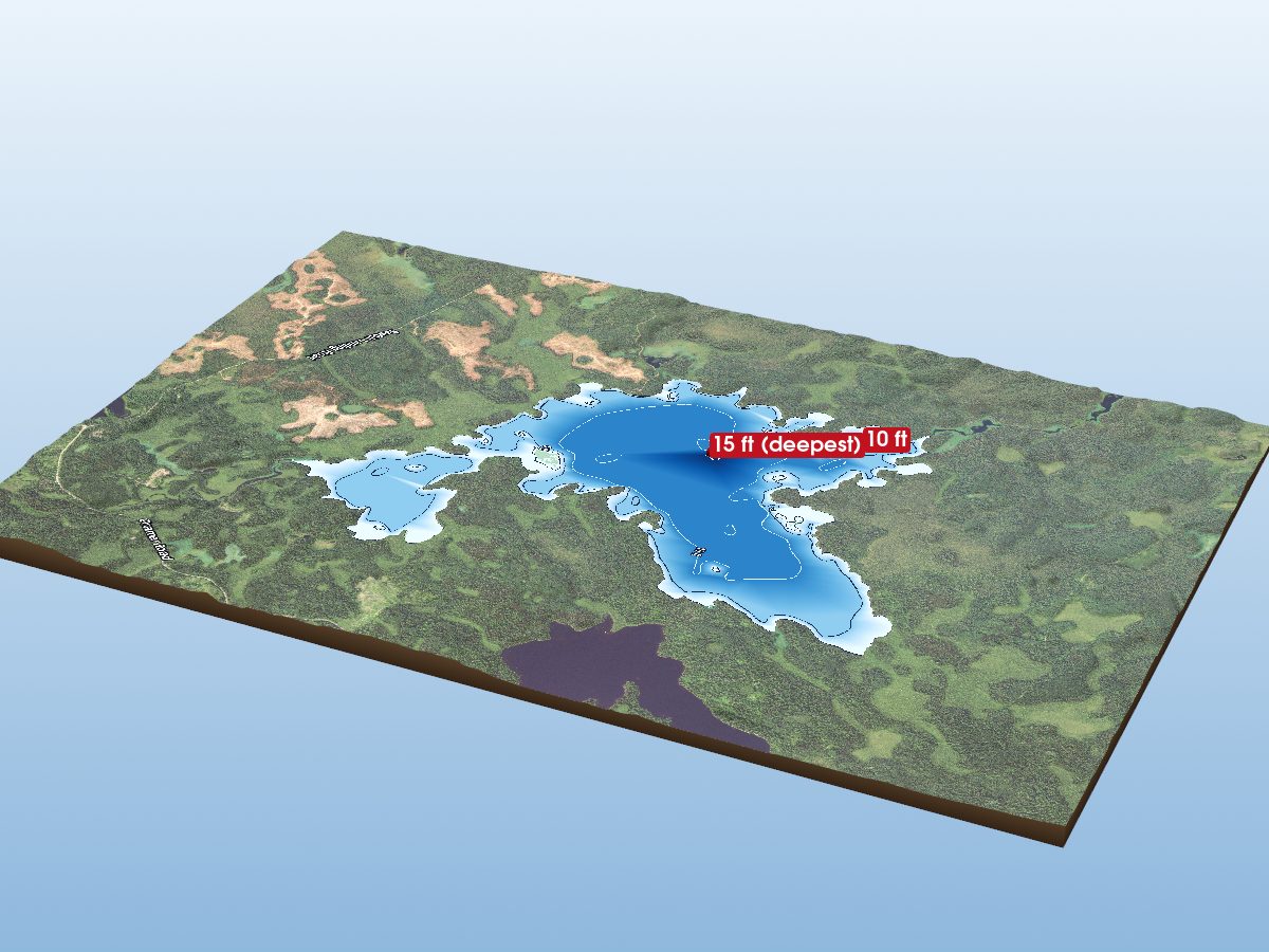
Silver Island Lake
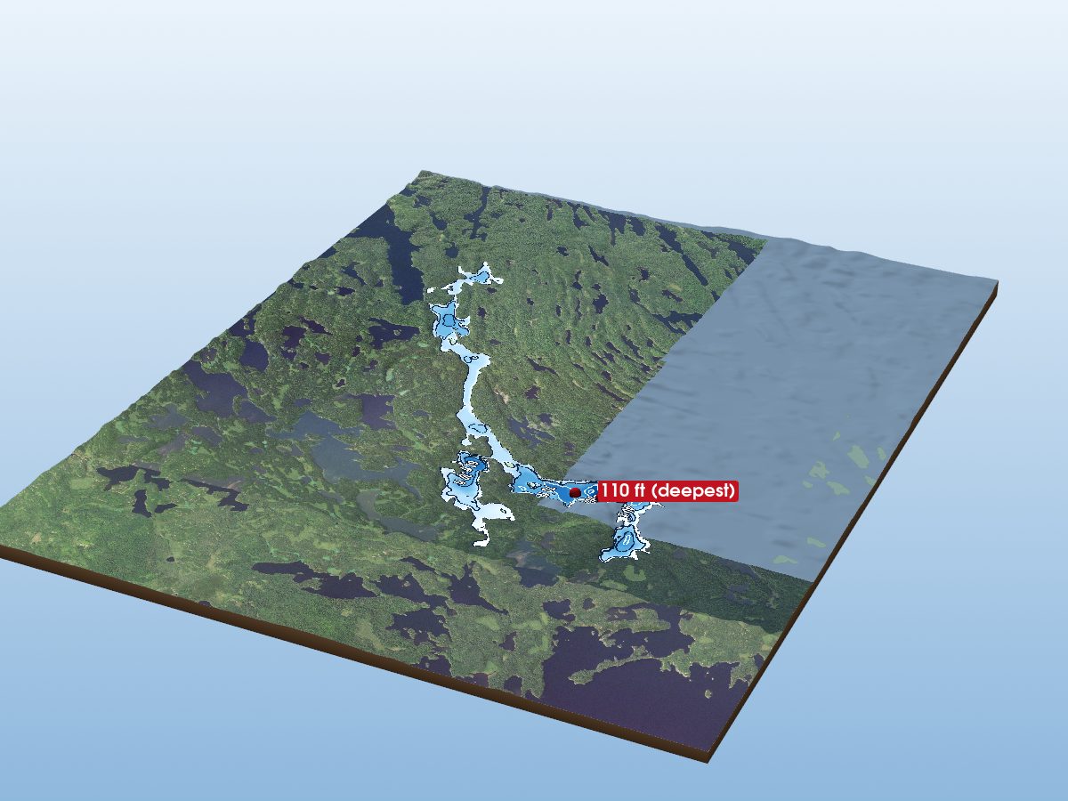
Ottertrack Lake
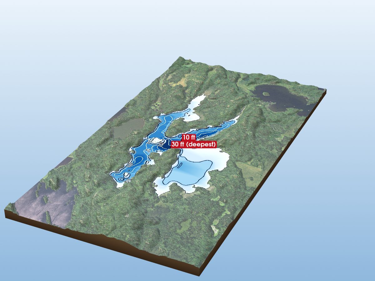
Wind Lake
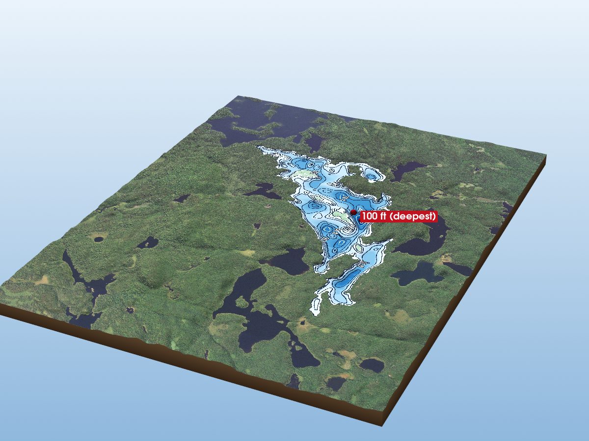
Fraser Lake
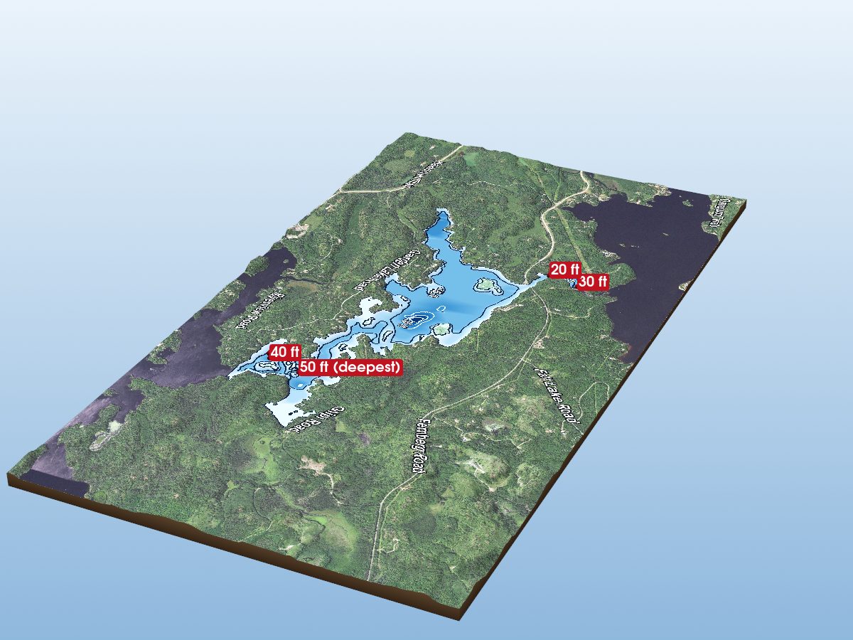
Garden Lake
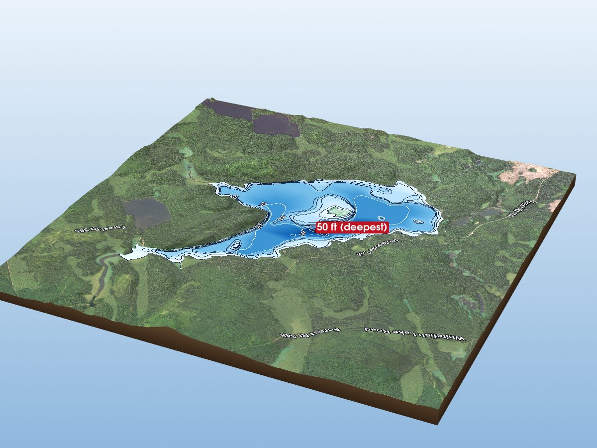
Wilson Lake
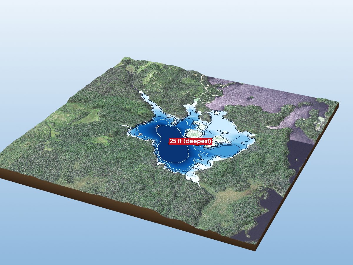
South Farm Lake
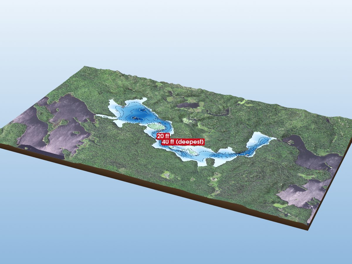
Newton Lake
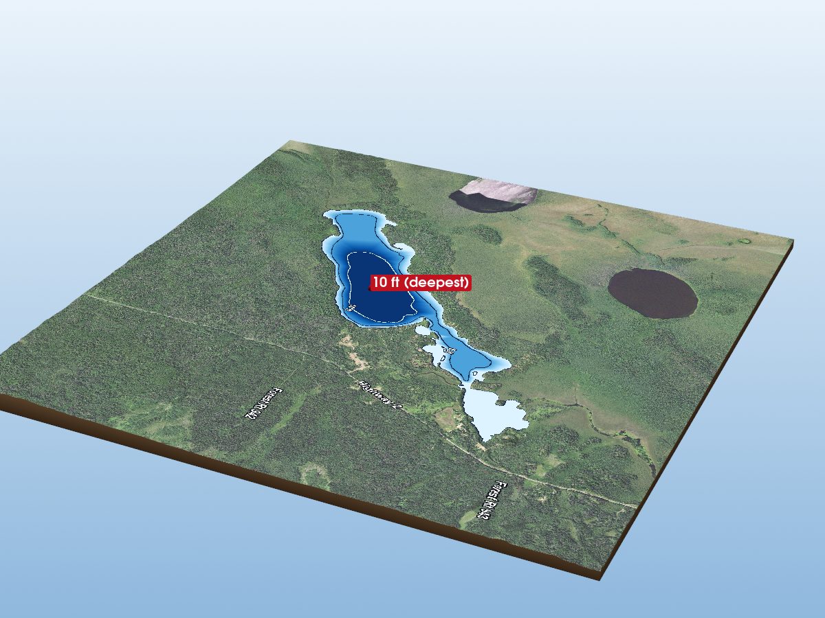
Sand Lake
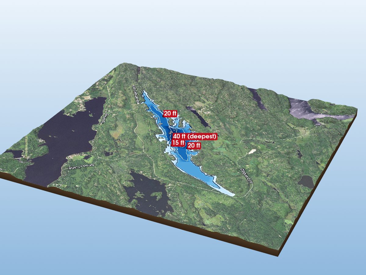
Cedar Lake
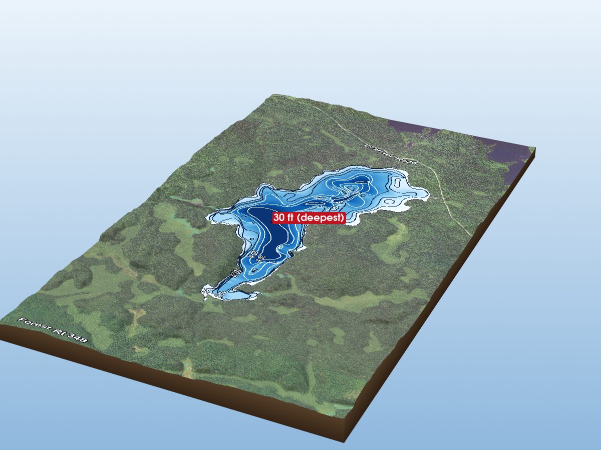
Windy Lake
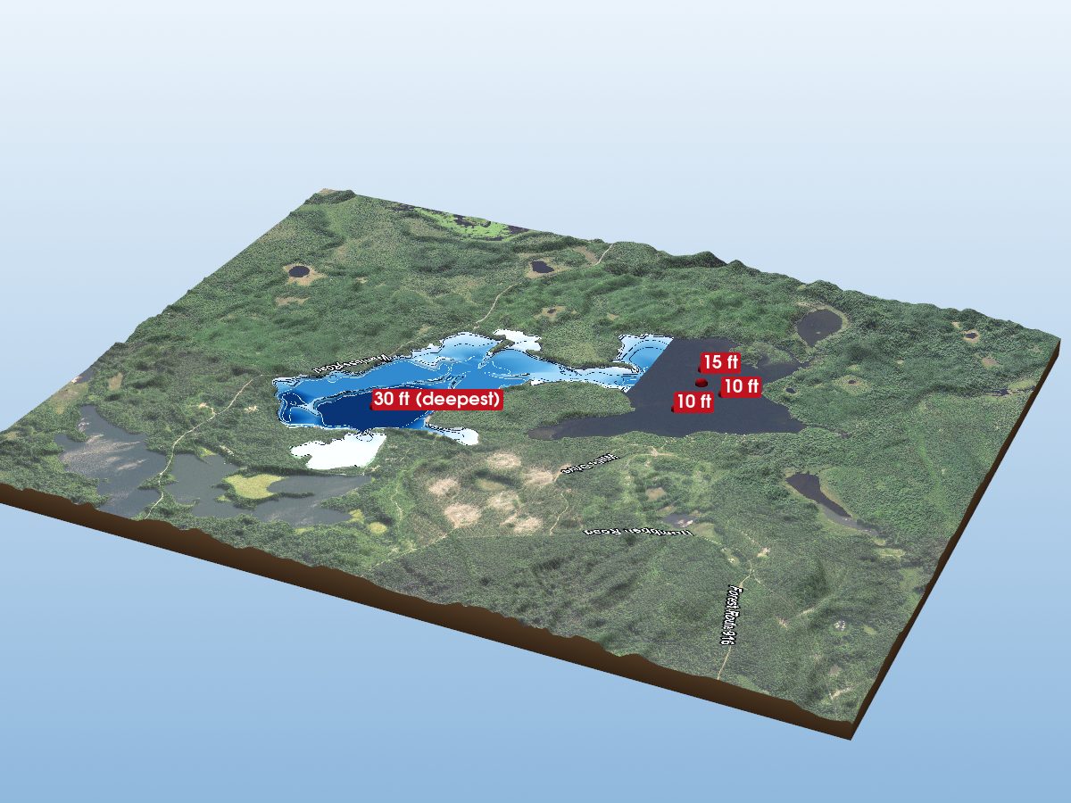
Dumbbell Lake
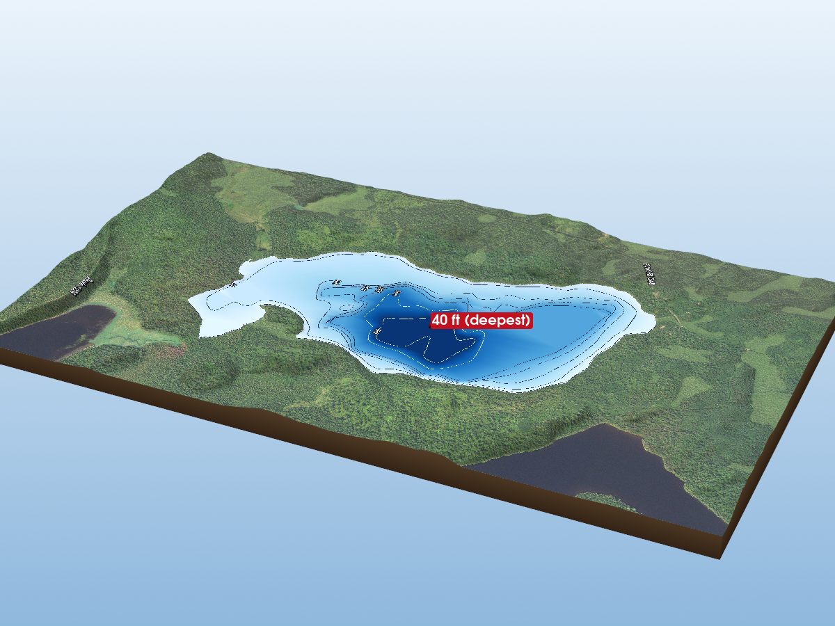
Whitefish Lake
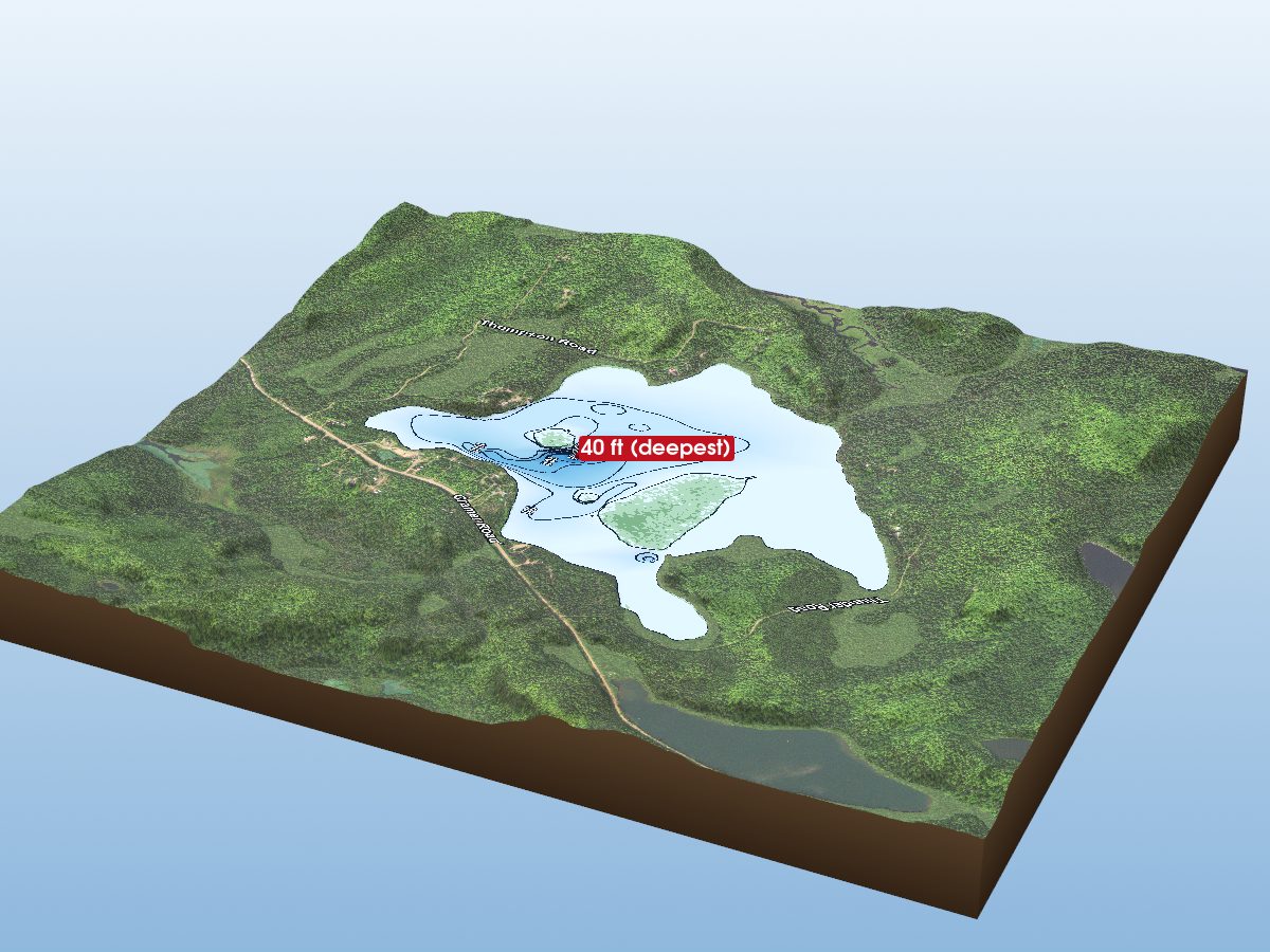
Ninemile Lake
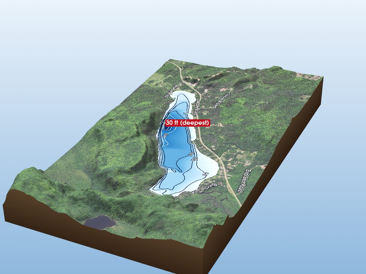
Lax Lake
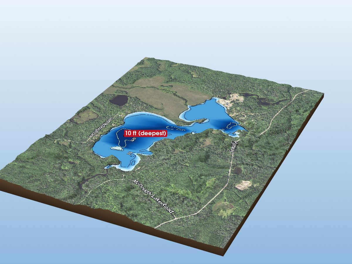
North McDougal Lake
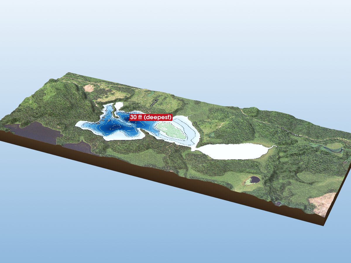
Harriet Lake
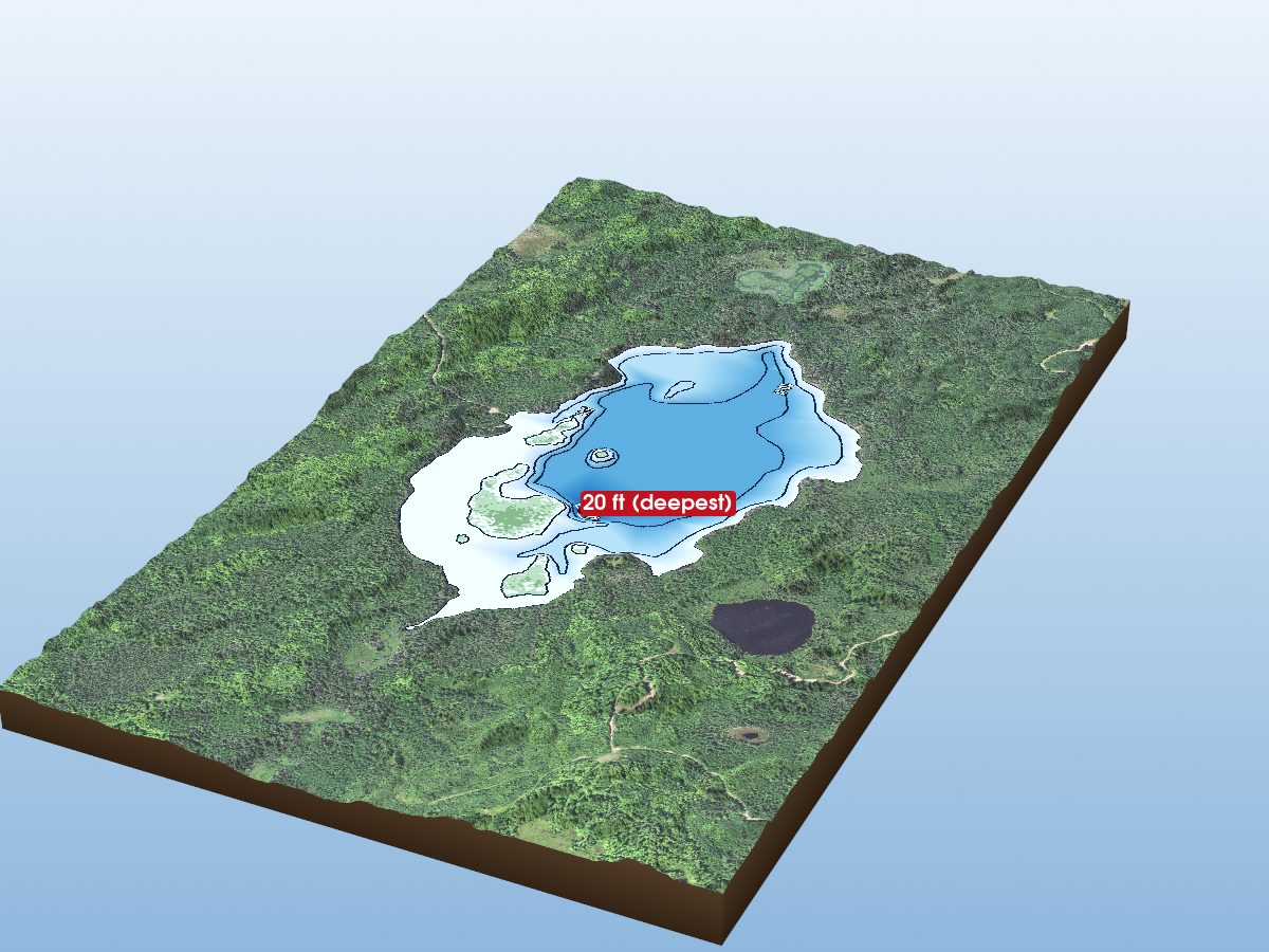
Stewart Lake
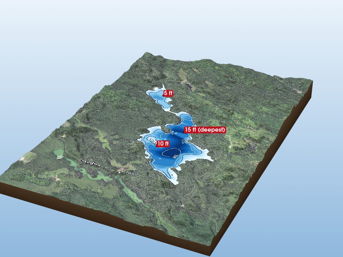
August Lake
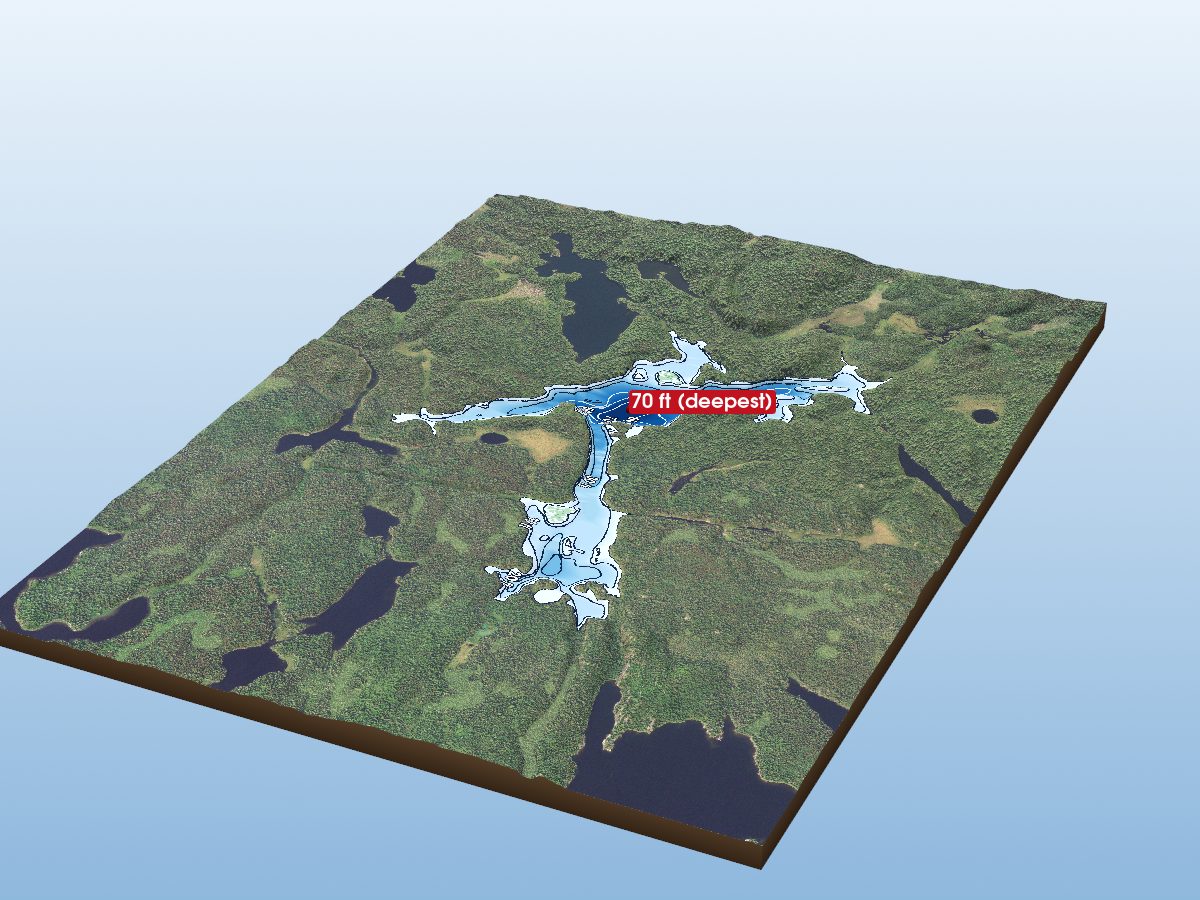
Beaver Lake
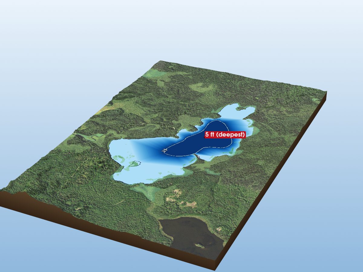
Cloquet Lake
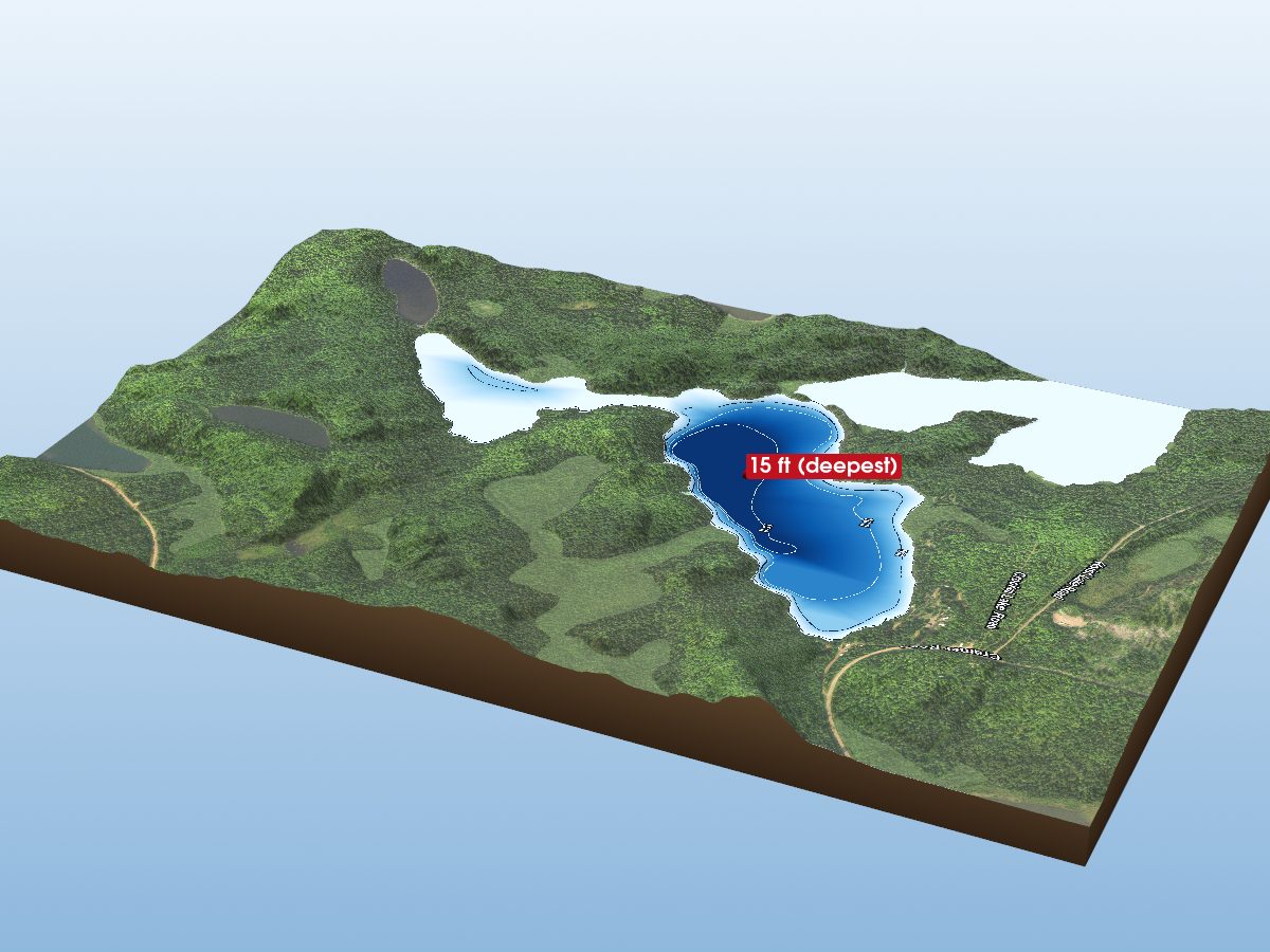
Crooked Lake (East Bay)
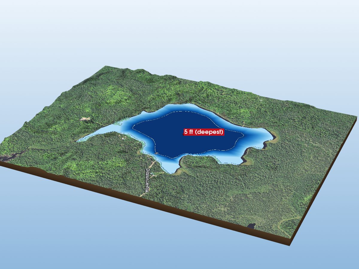
Christianson Lake
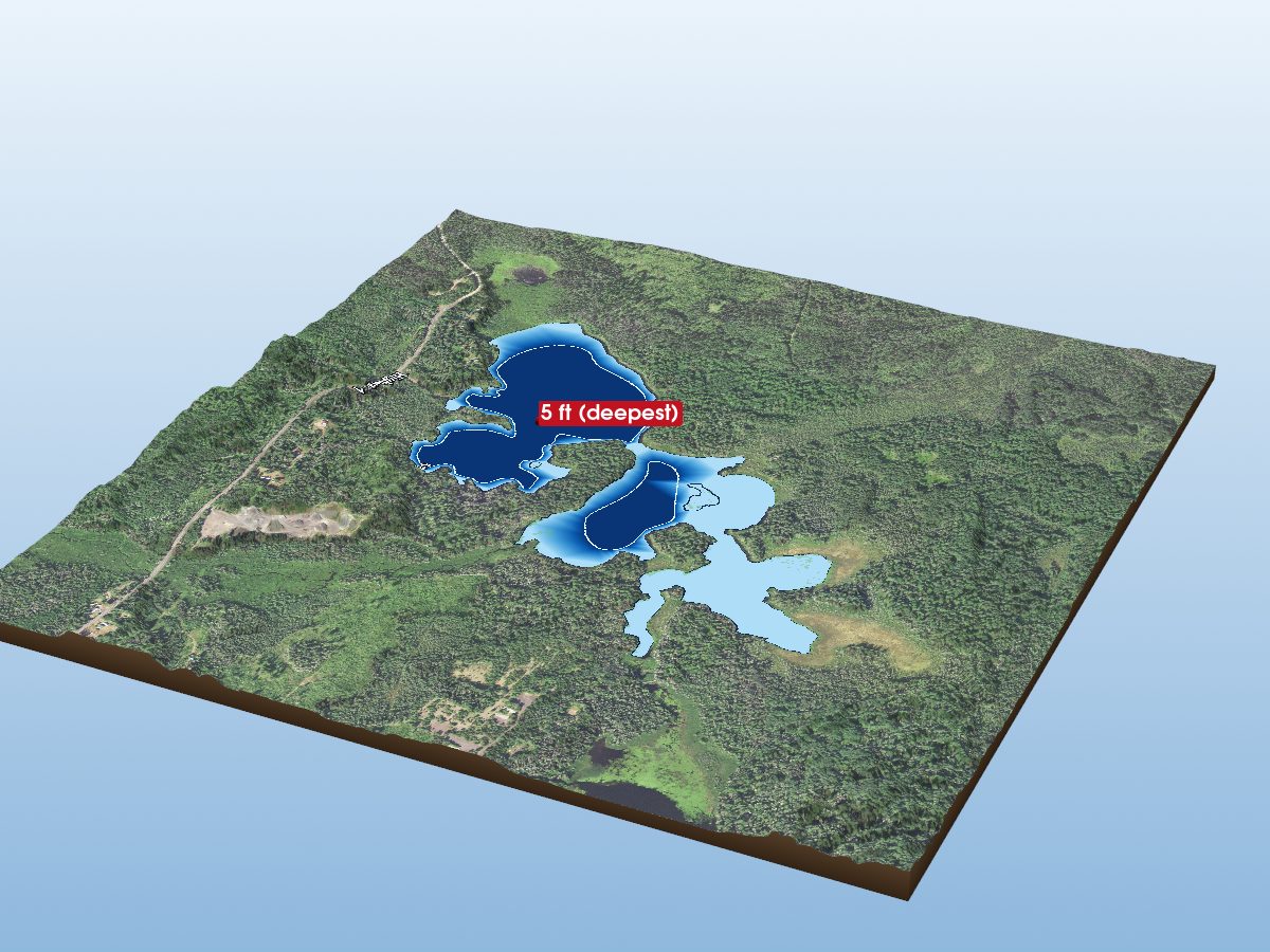
Lake Gegoka
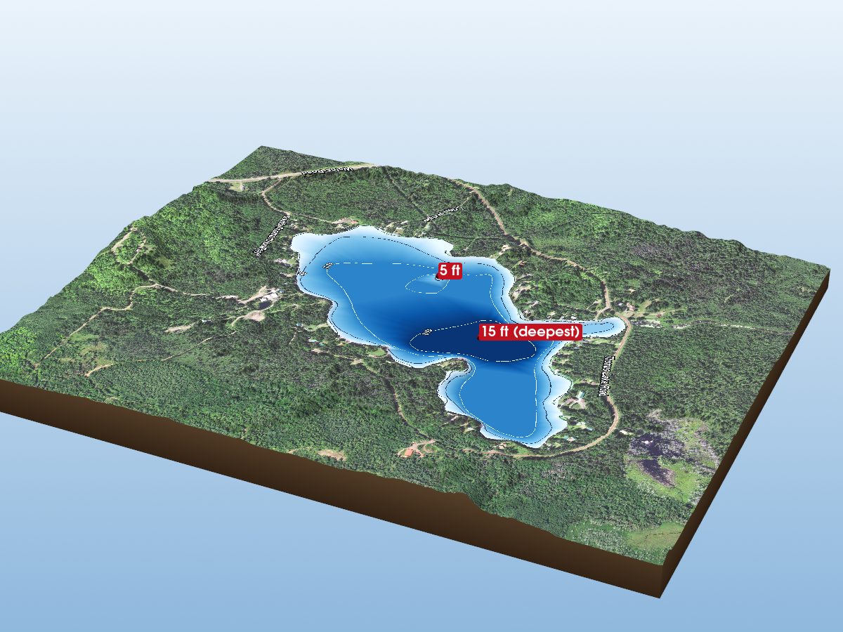
Thomas Lake
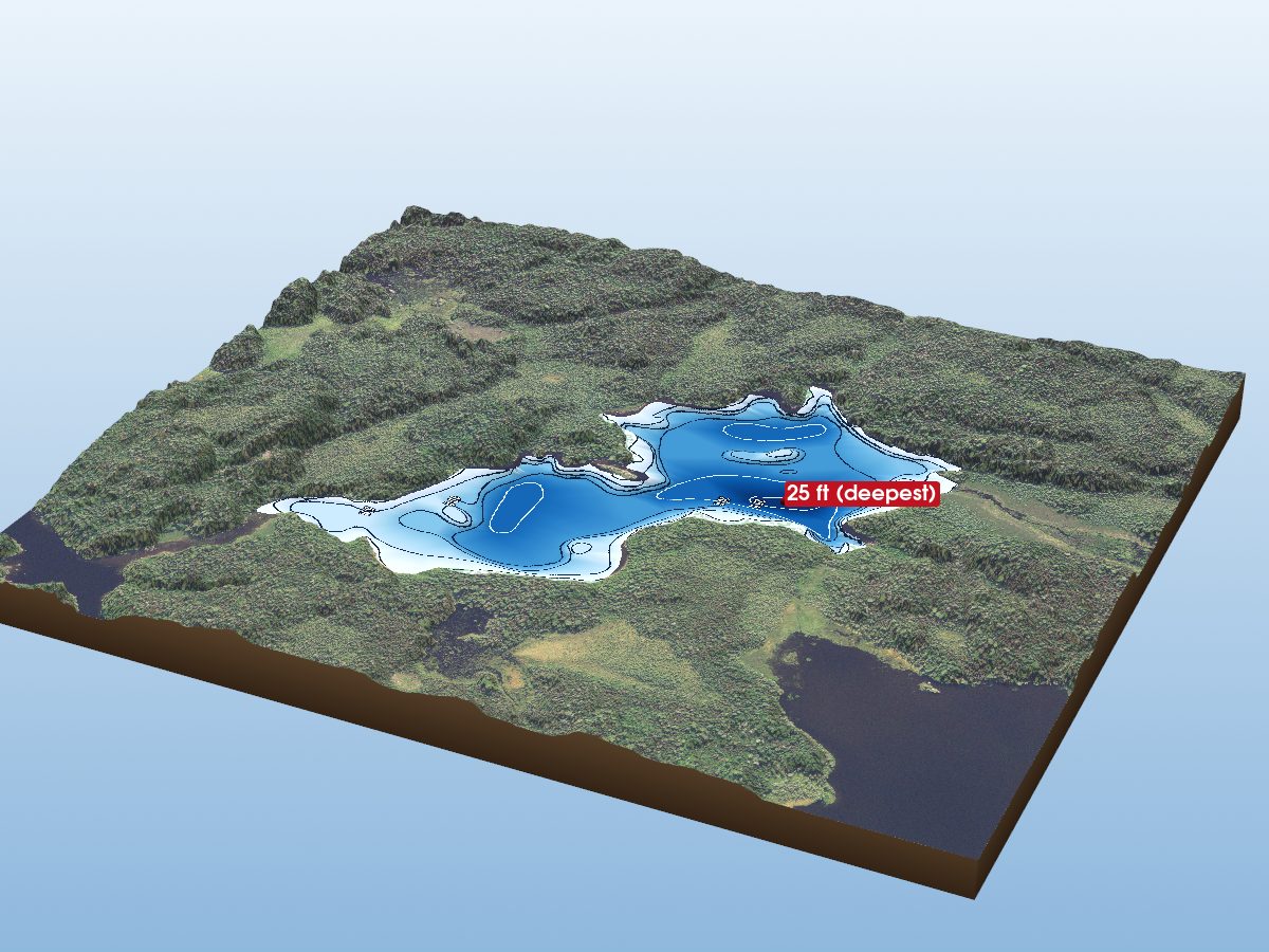
Amber Lake
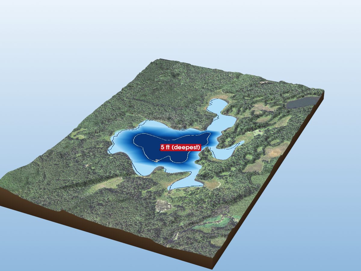
Gander Lake
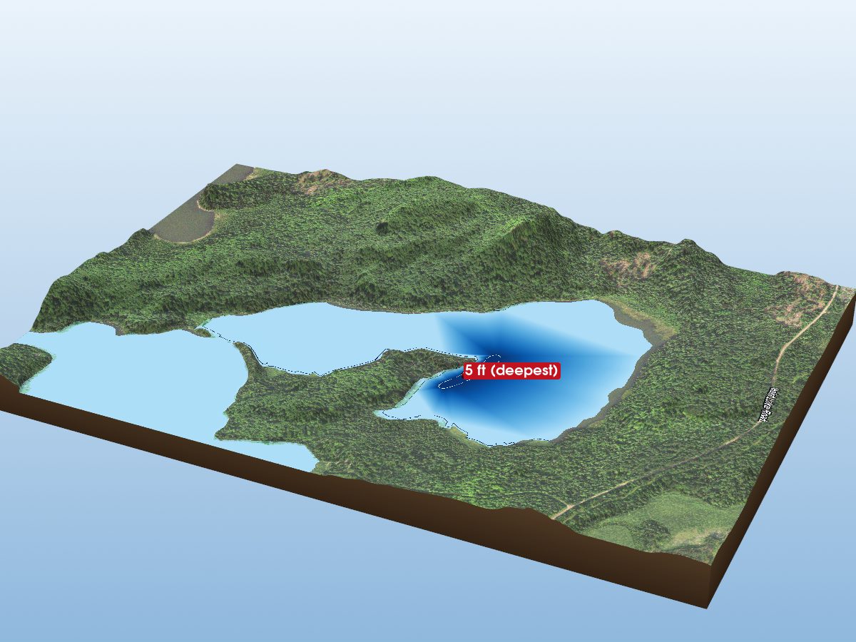
Crooked Lake (West Bay)
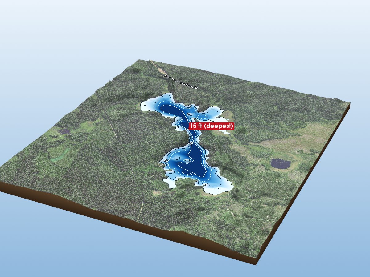
Section 29 Lake
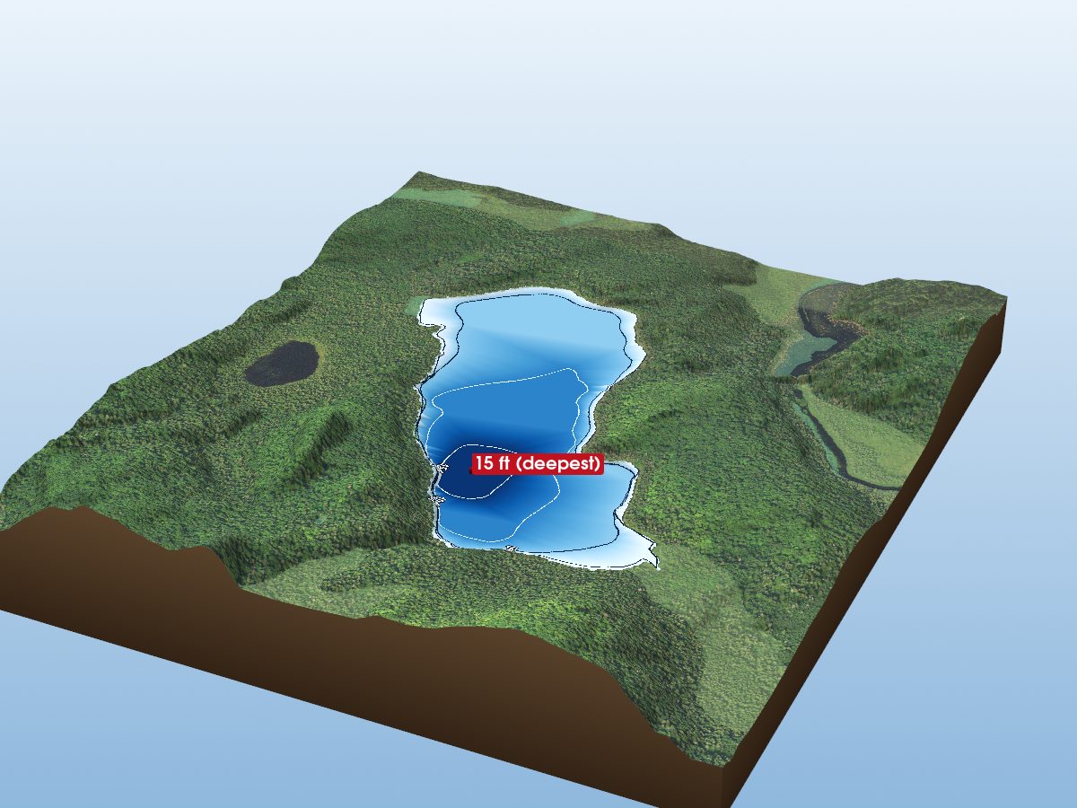
East Lake
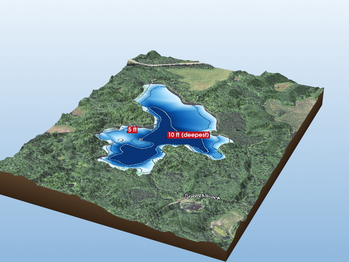
Dunnigan Lake
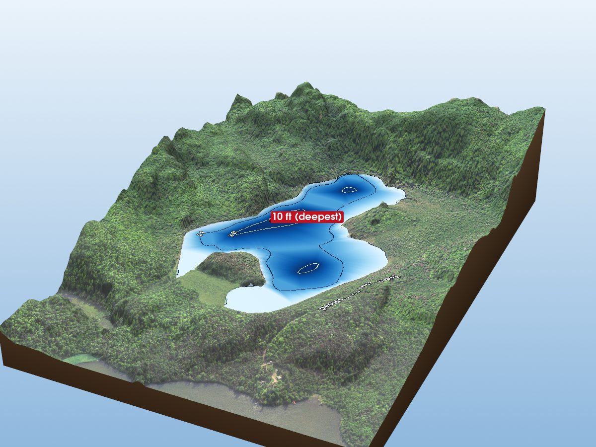
Tetagouche Lake
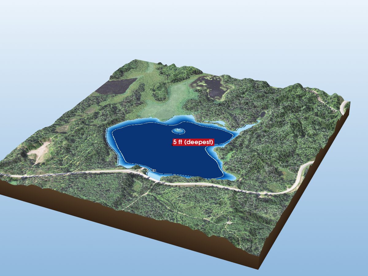
East Chub Lake
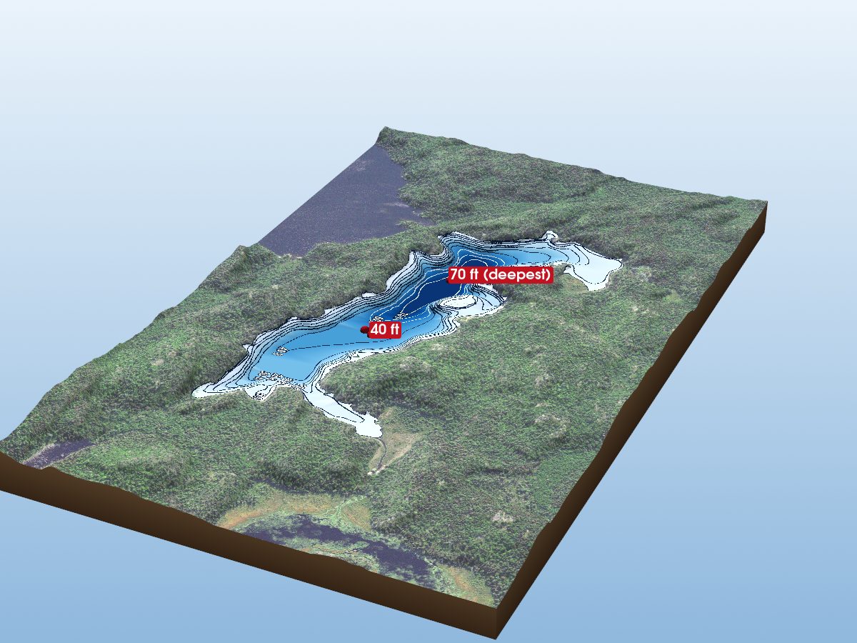
Ahsub Lake
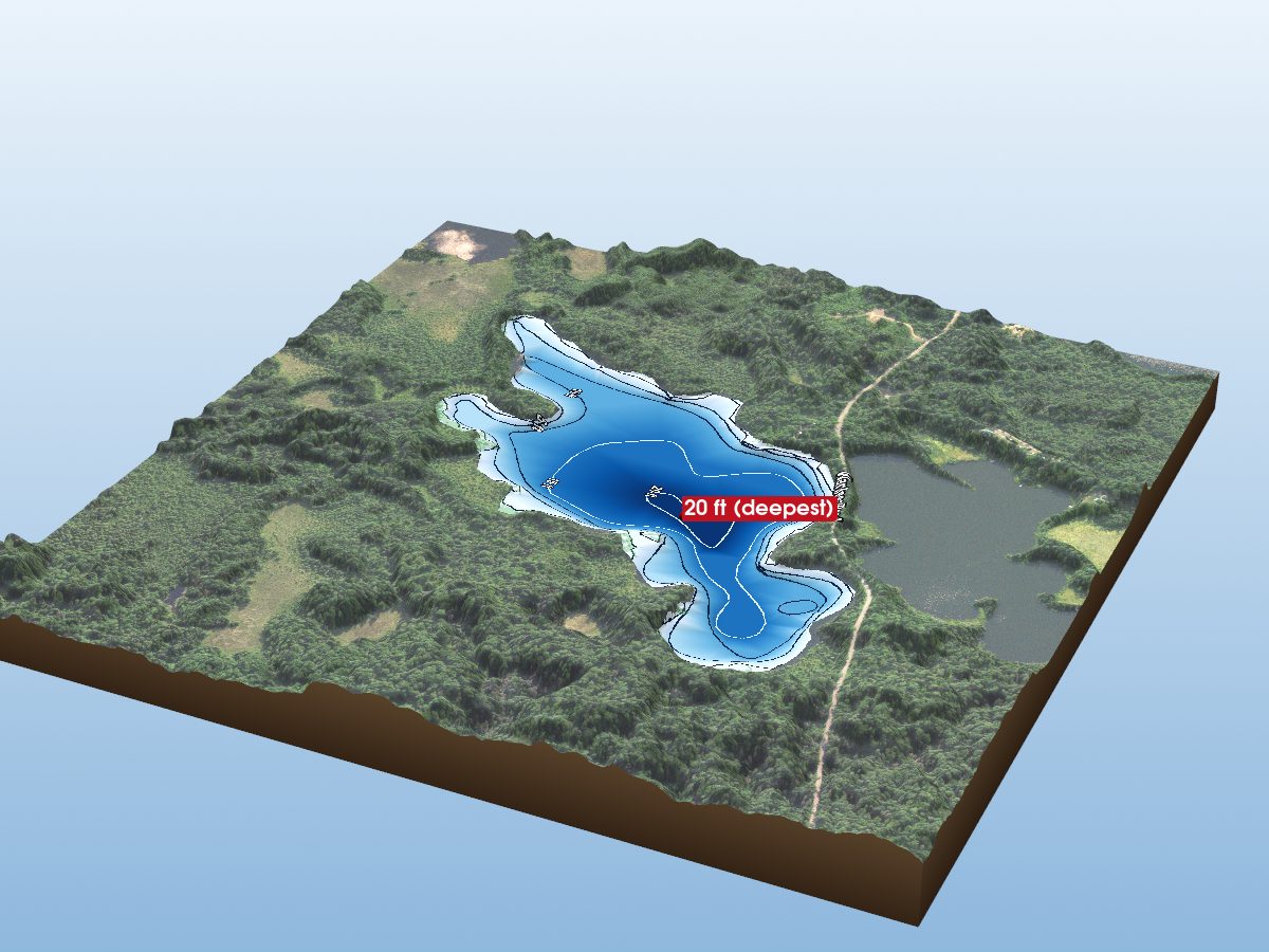
Divide Lake
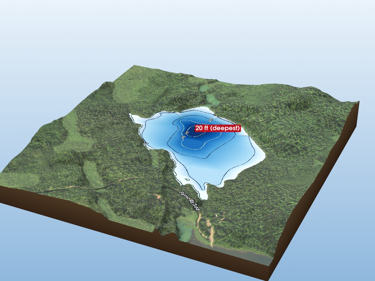
Little Wilson Lake
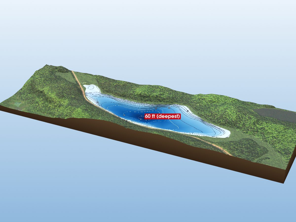
Echo Lake
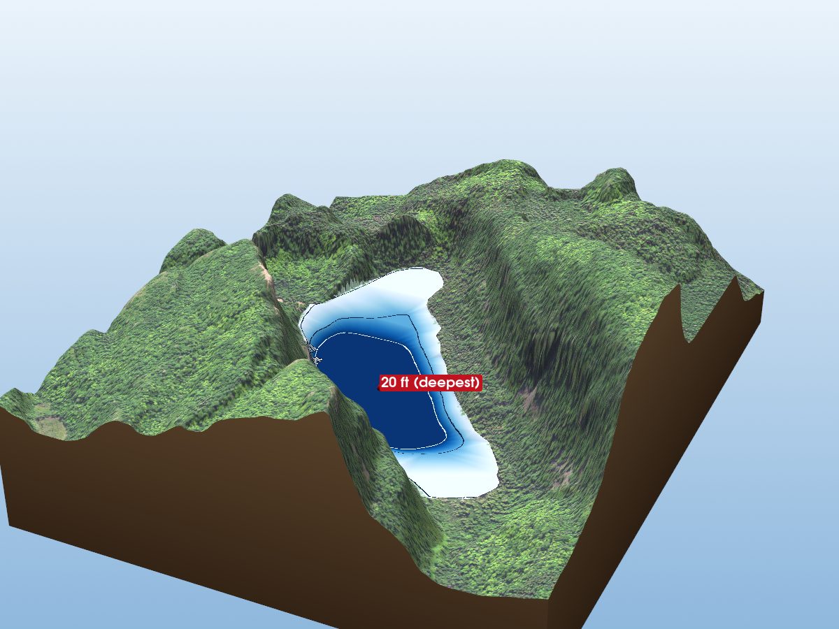
Bean Lake
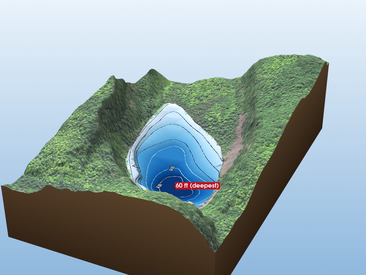
Bear Lake
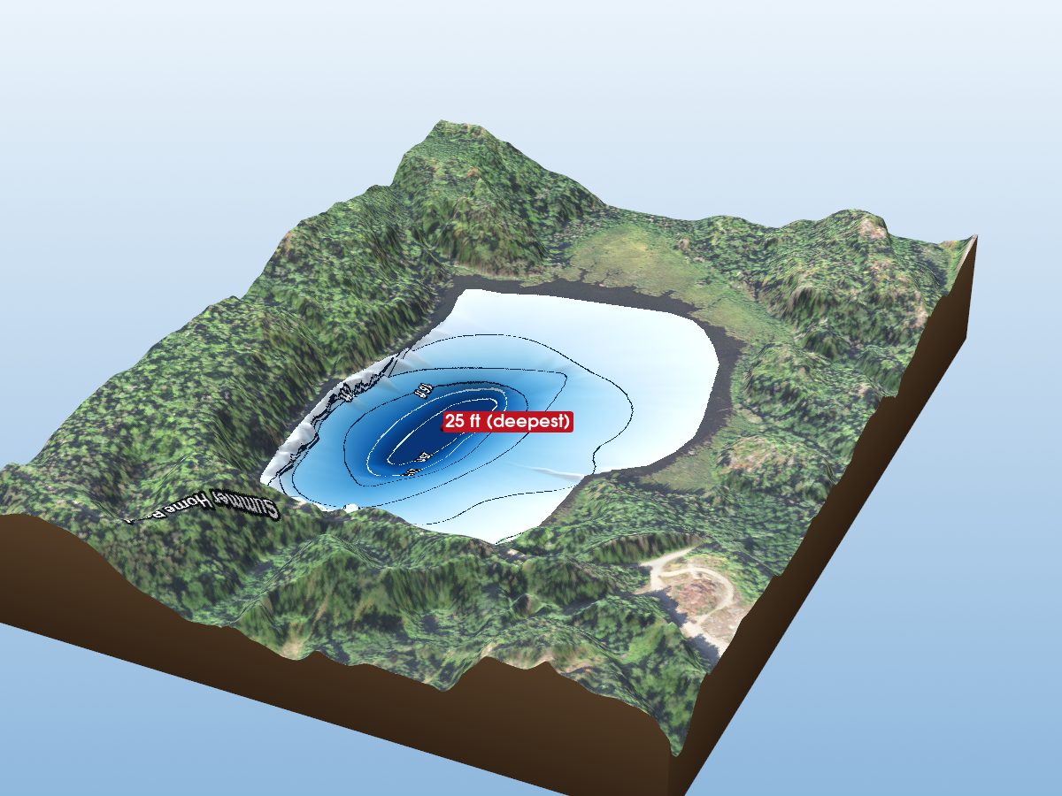
Glacier Pond 1
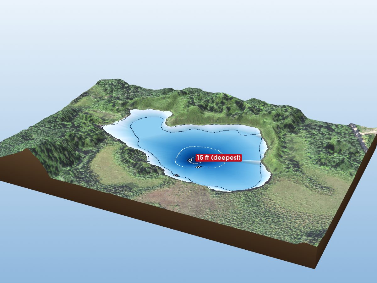
Gypsy Lake
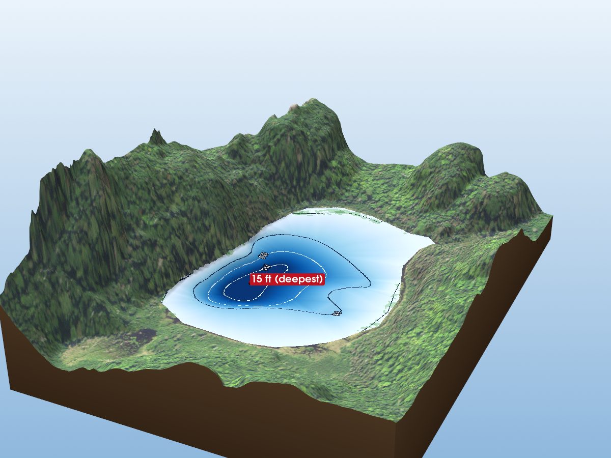
Nicado Lake
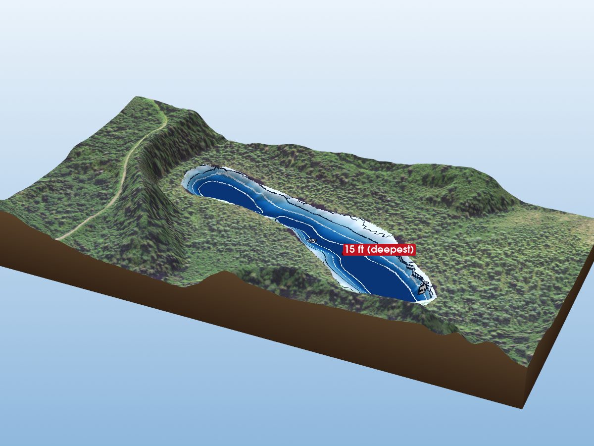
Jouppi Lake