Minnesota · Cook County
Cook County lake depth maps
Explore 37 lakes as 3D depth maps, built from Minnesota DNR bathymetric surveys — surveyed depth draped over real elevation and aerial imagery.
Featured depth maps
Where the lakes are
Dot size and shade follow max depth: under 15 ft 100 ft and deeper
All 37 mapped lakes in Cook County; deepest is Loon Lake at 210 ft. Tap a dot to open that lake.
Depth (ft)
–
Acreage
–
Max weeds (aquatic veg %)
%
County
Fish species (surveyed lakes)
Surveyed since (fishery)
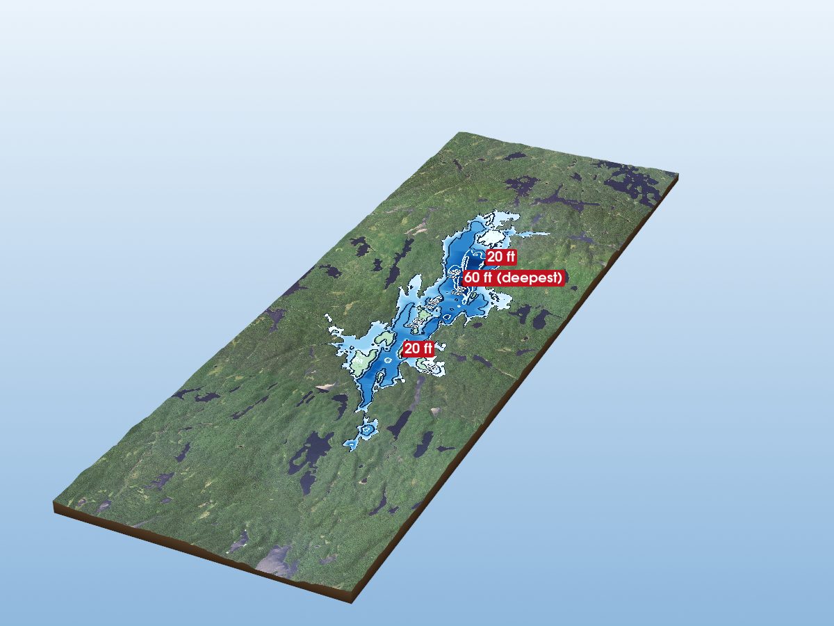
Brule Lake
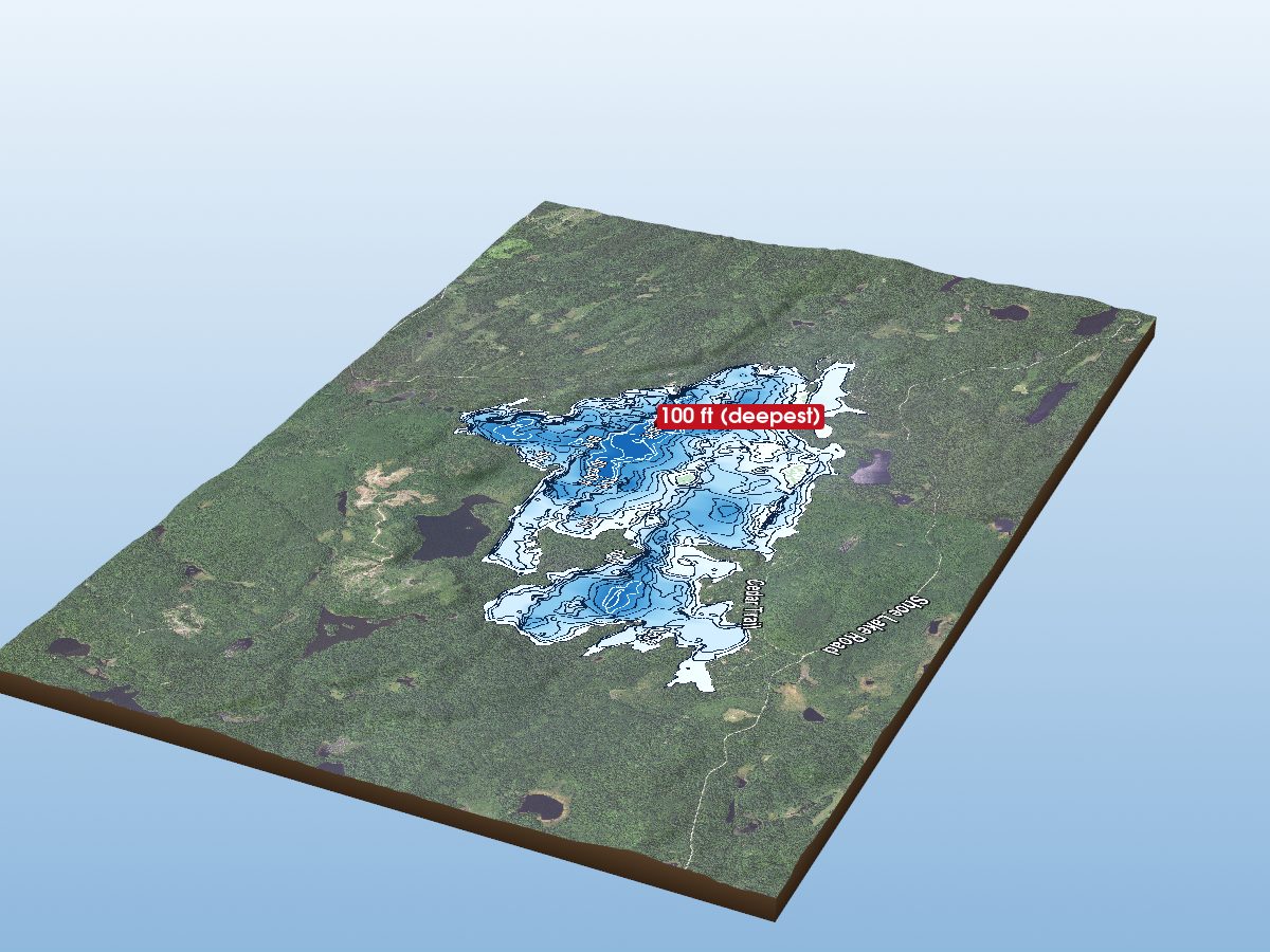
Greenwood Lake
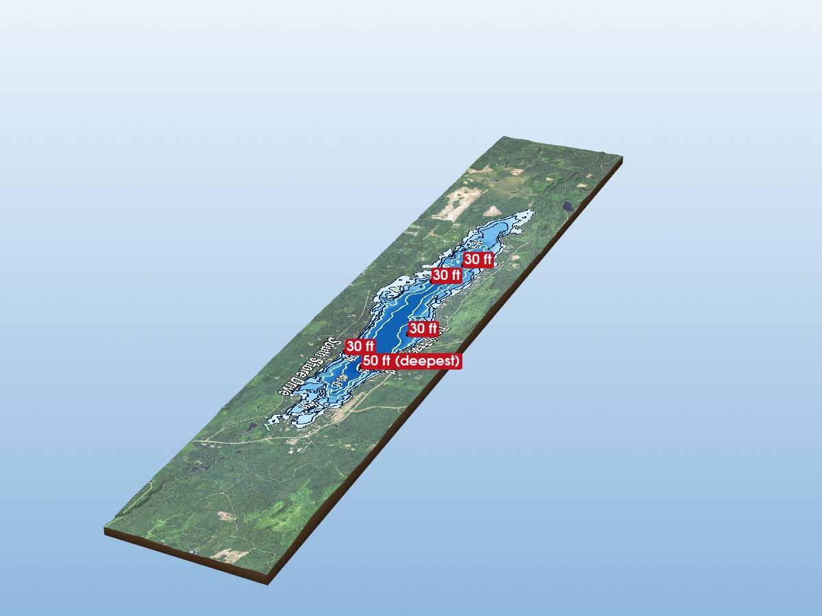
Devil Track Lake
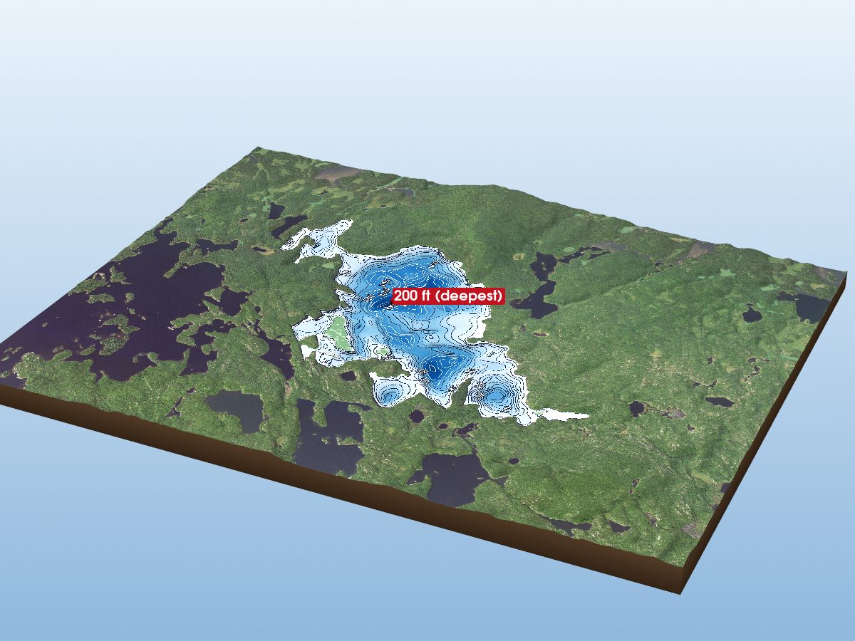
Gabimichigami Lake
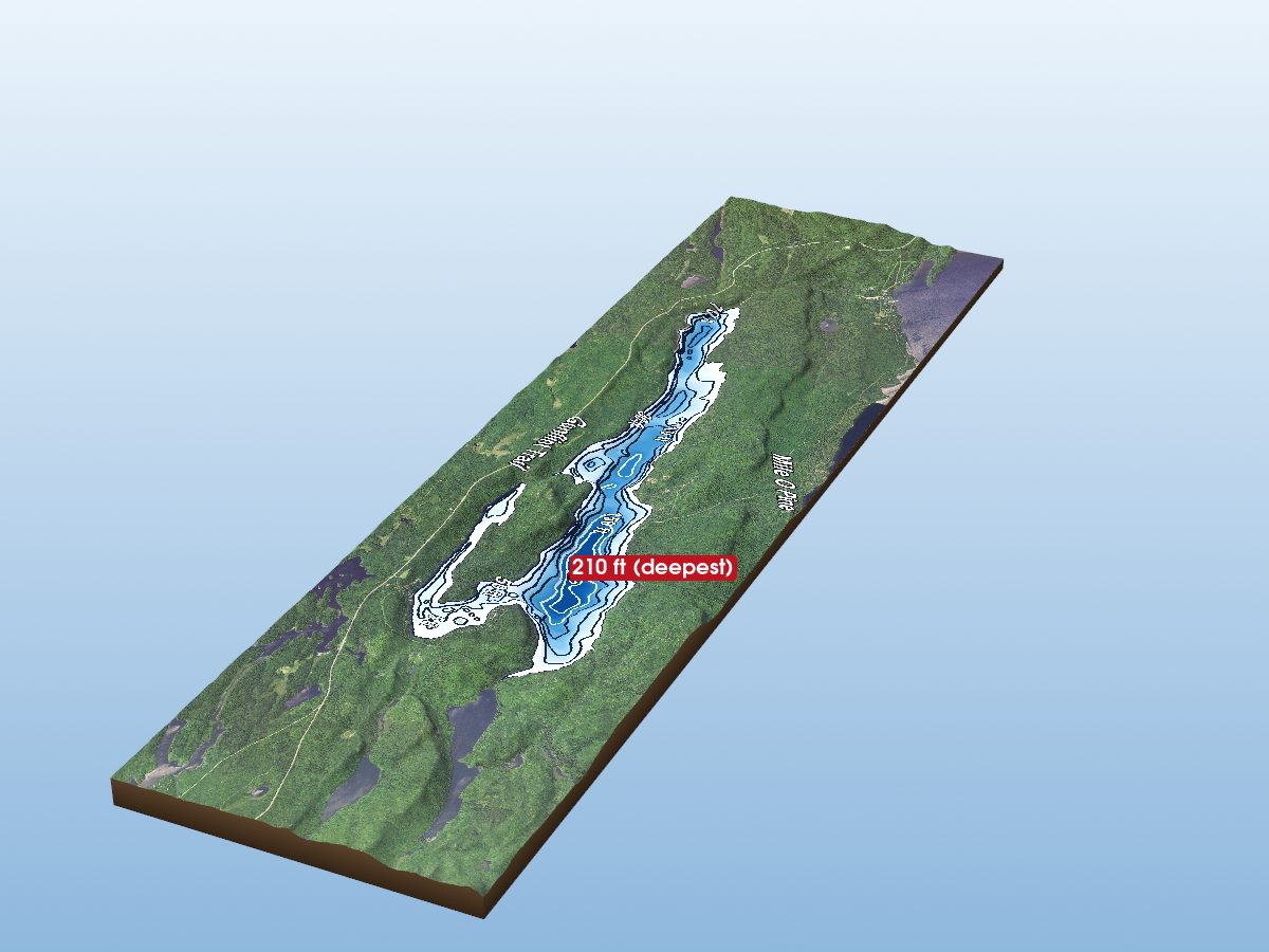
Loon Lake
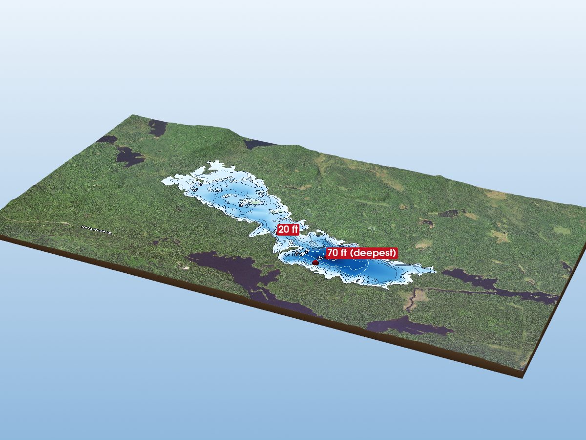
Alton Lake
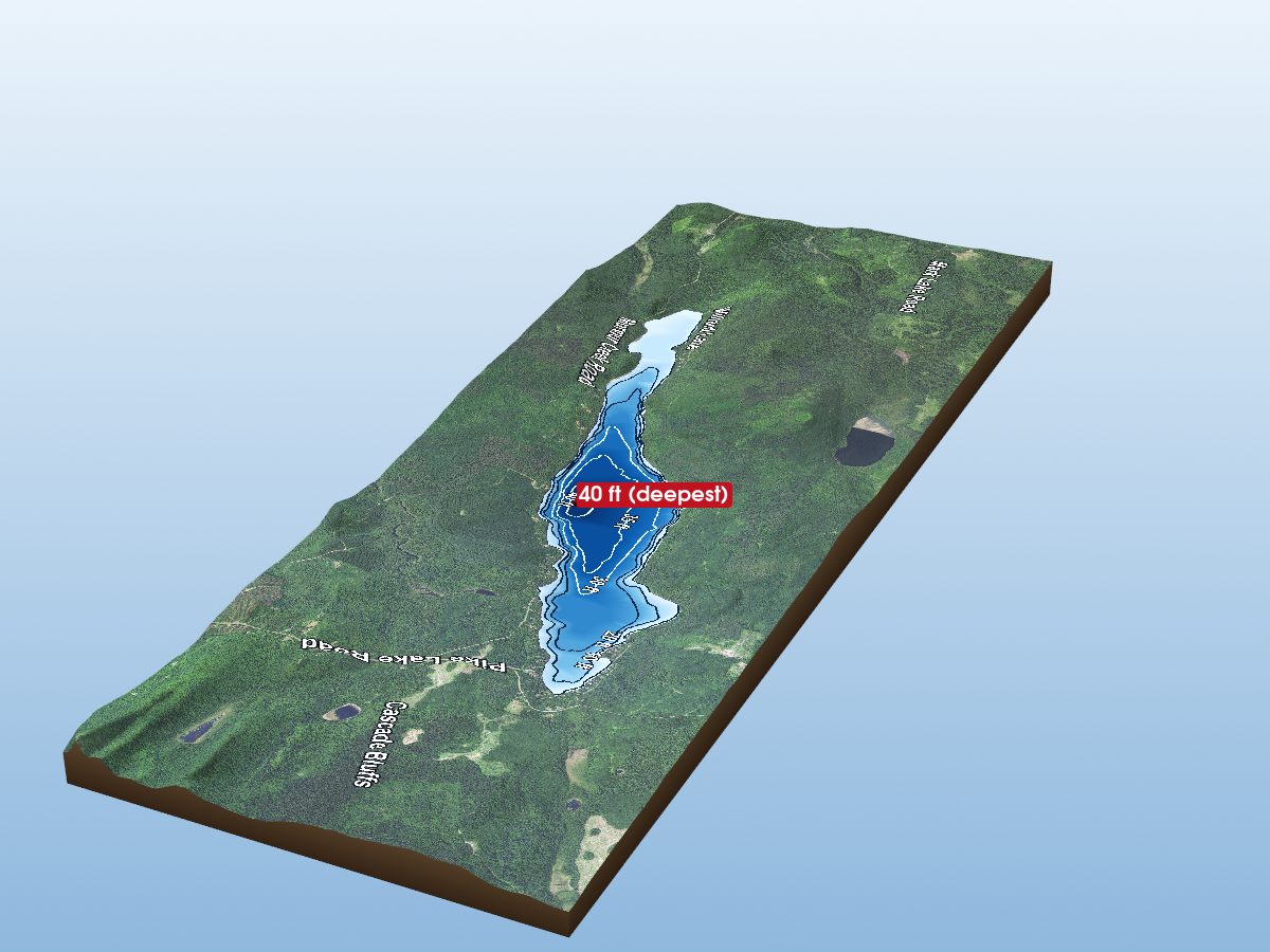
Pike Lake
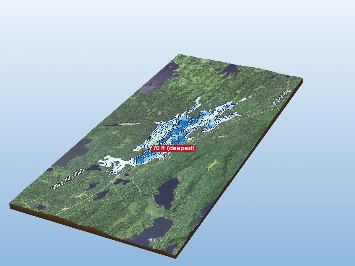
Poplar Lake
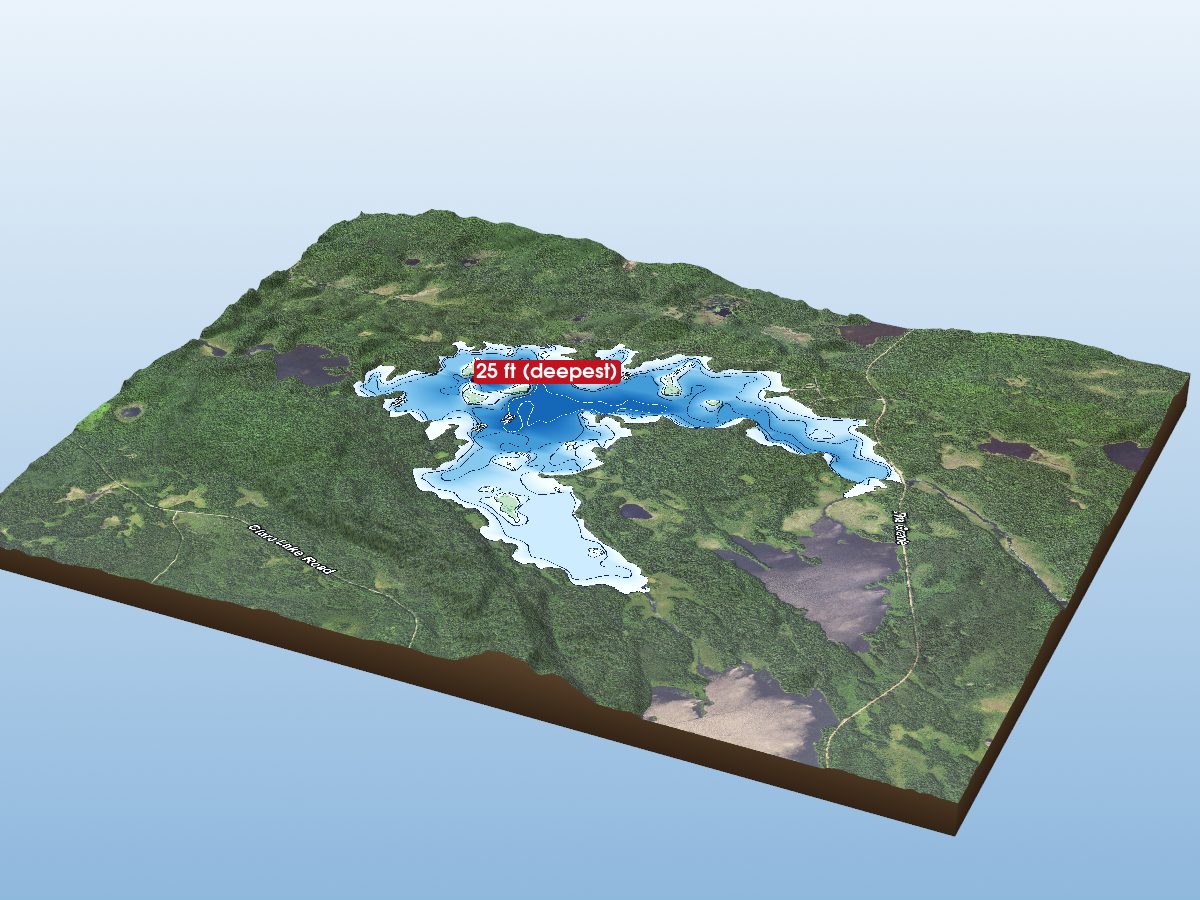
Crescent Lake
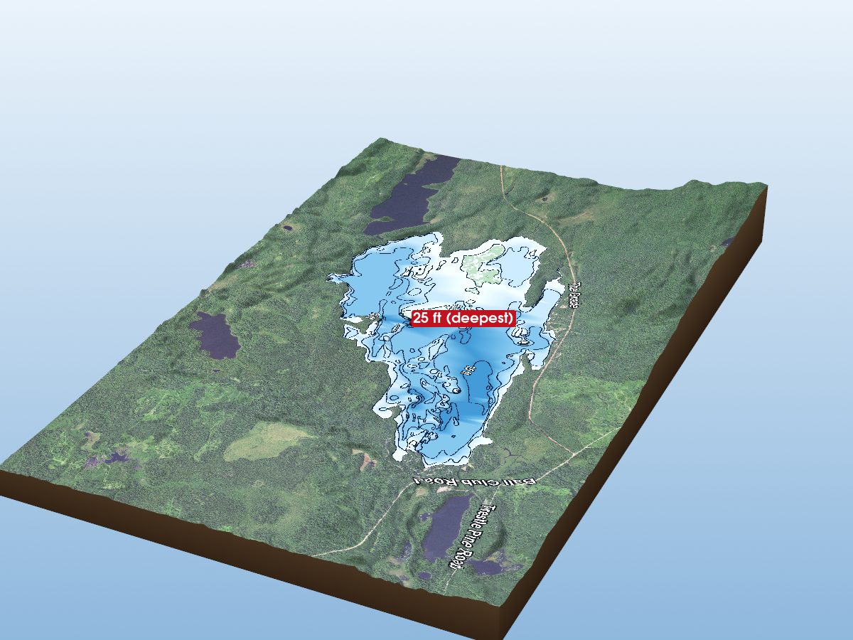
Two Island Lake
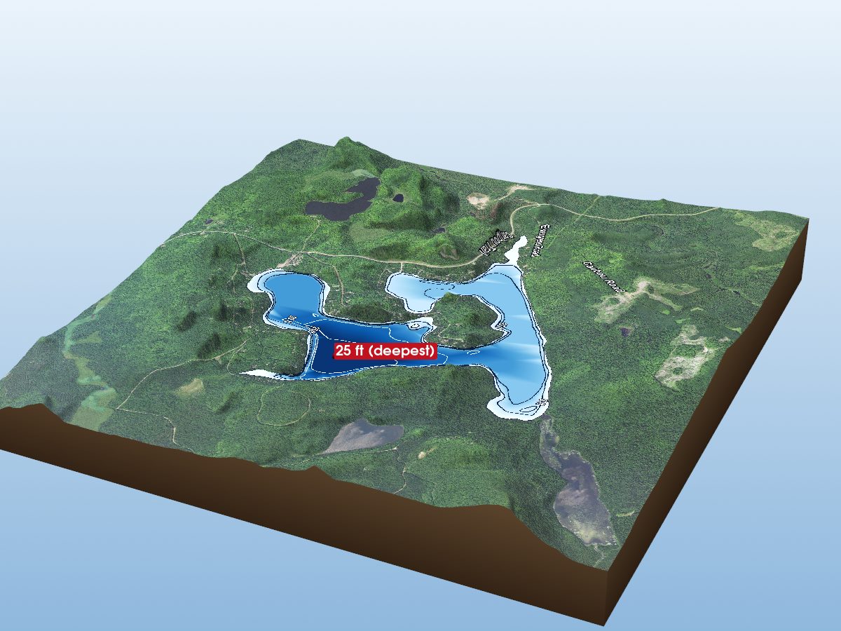
Caribou Lake
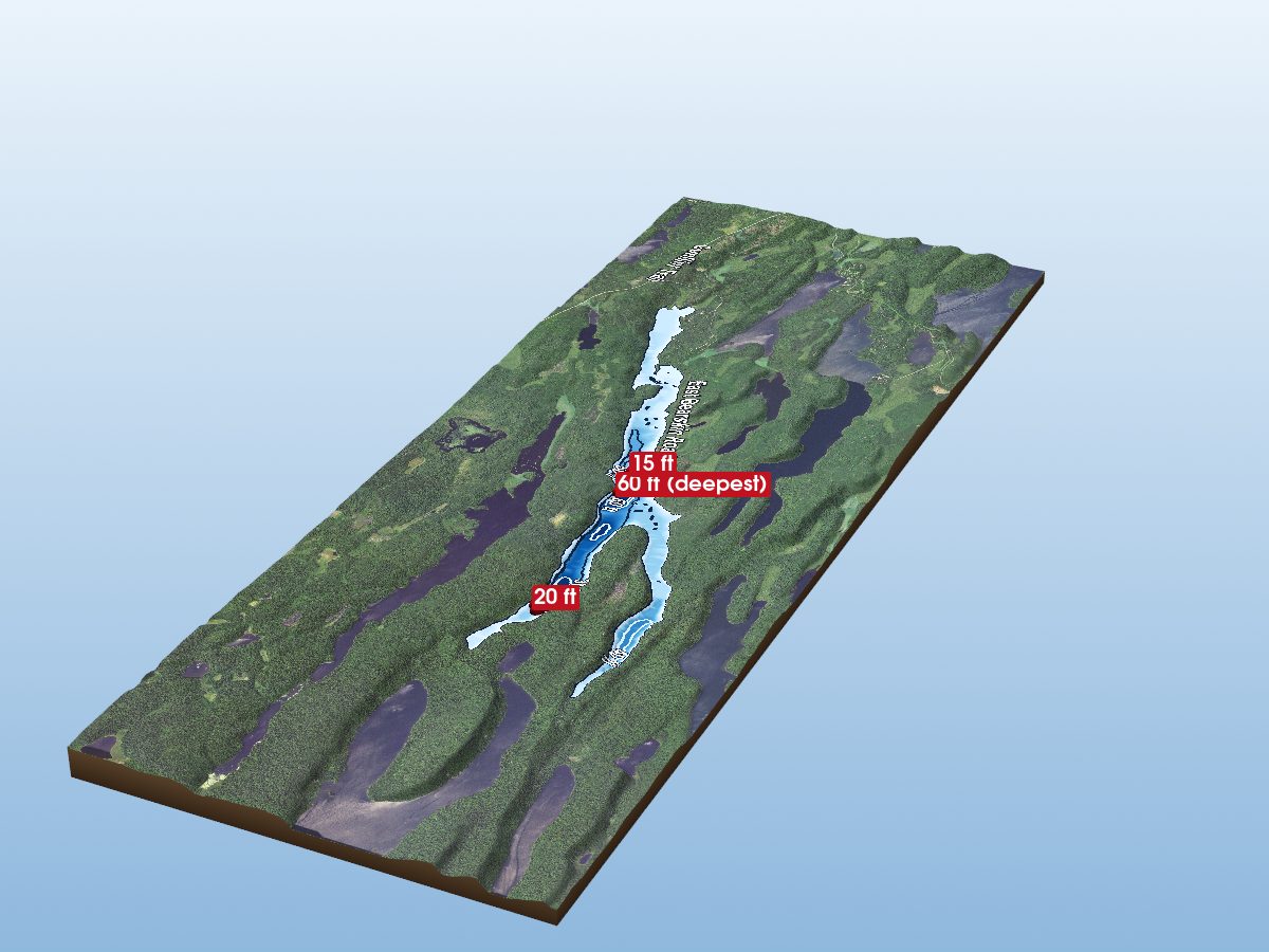
East Bearskin Lake
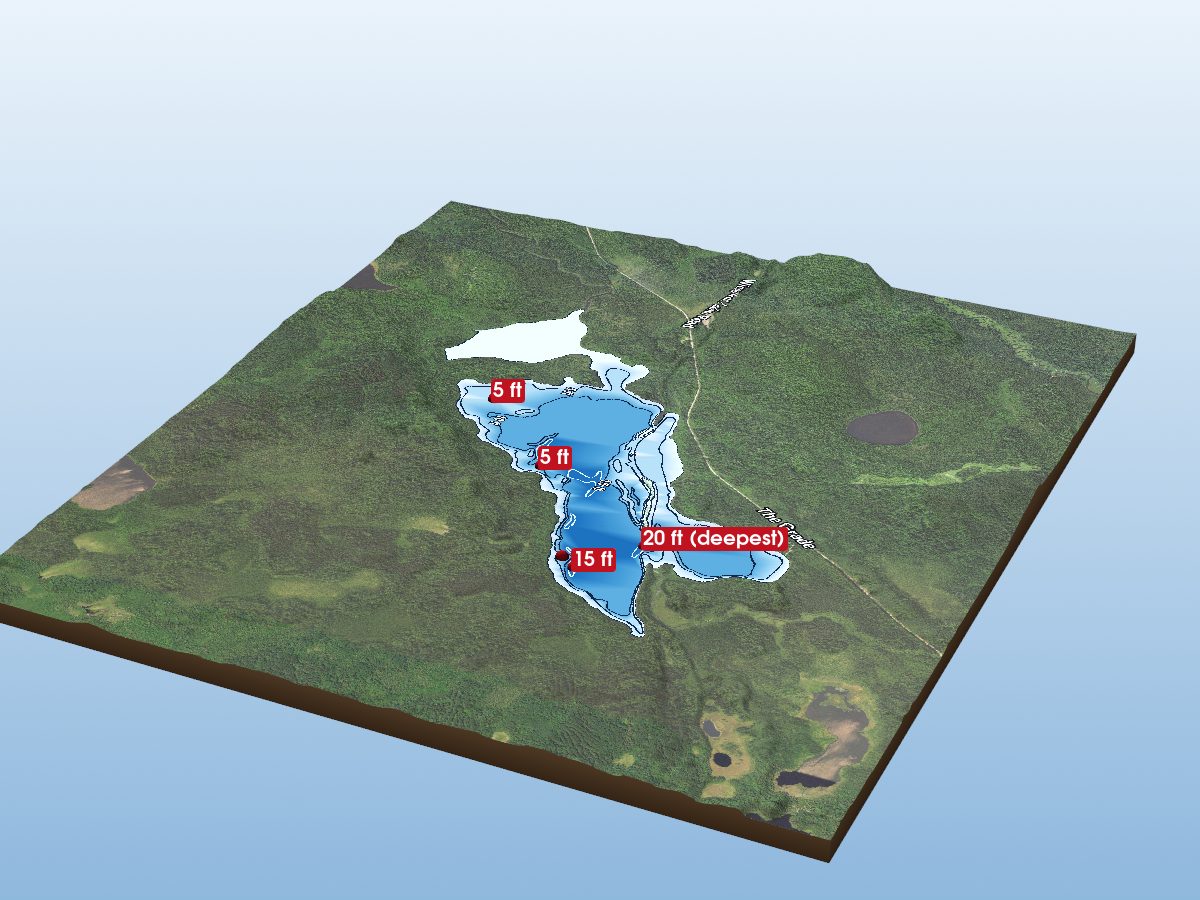
Fourmile Lake
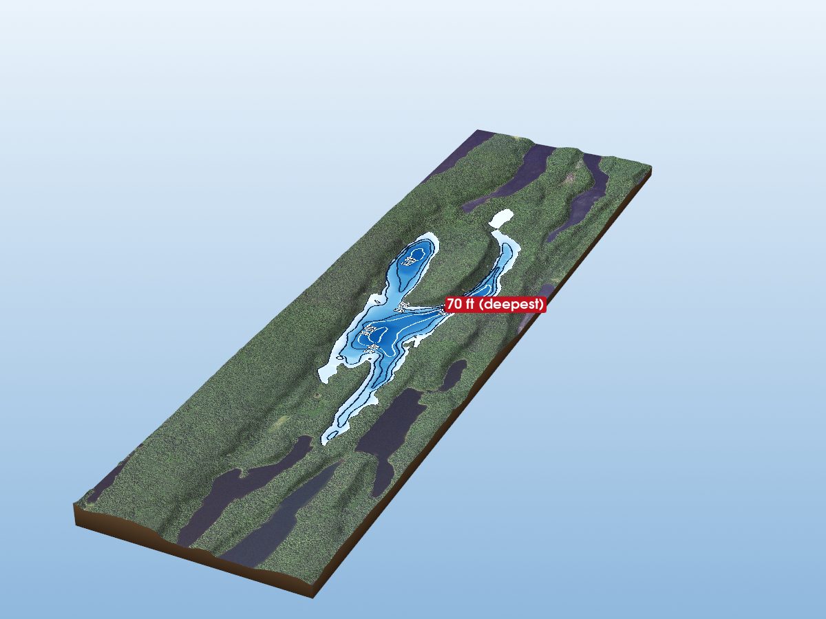
Alder Lake
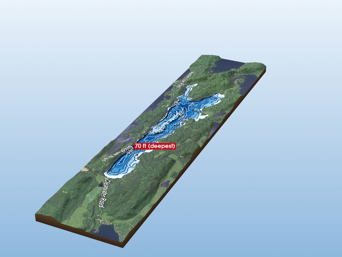
Bearskin Lake
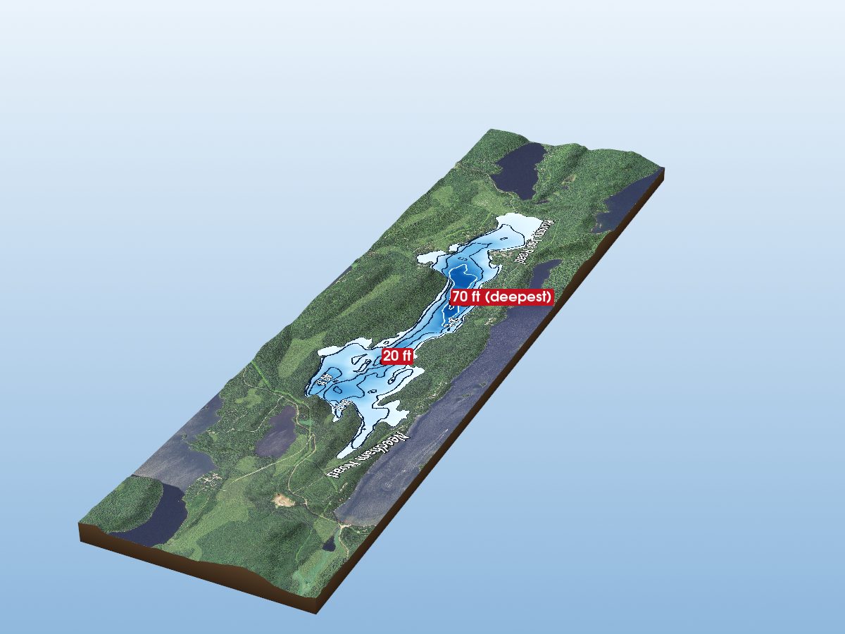
Hungry Jack Lake
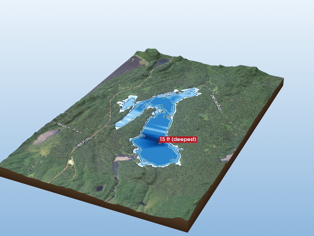
Cascade Lake
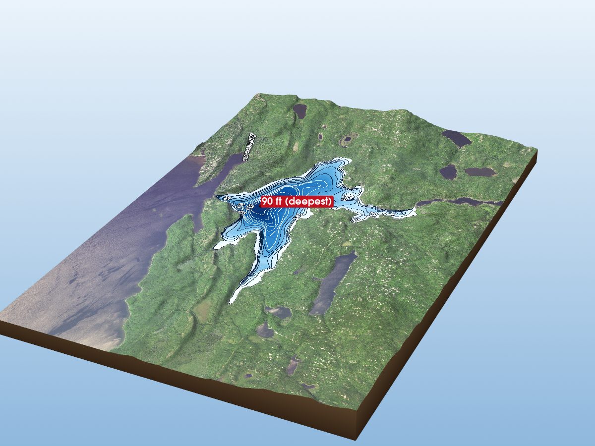
Magnetic Lake
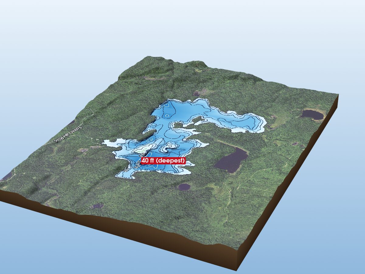
Devilfish Lake
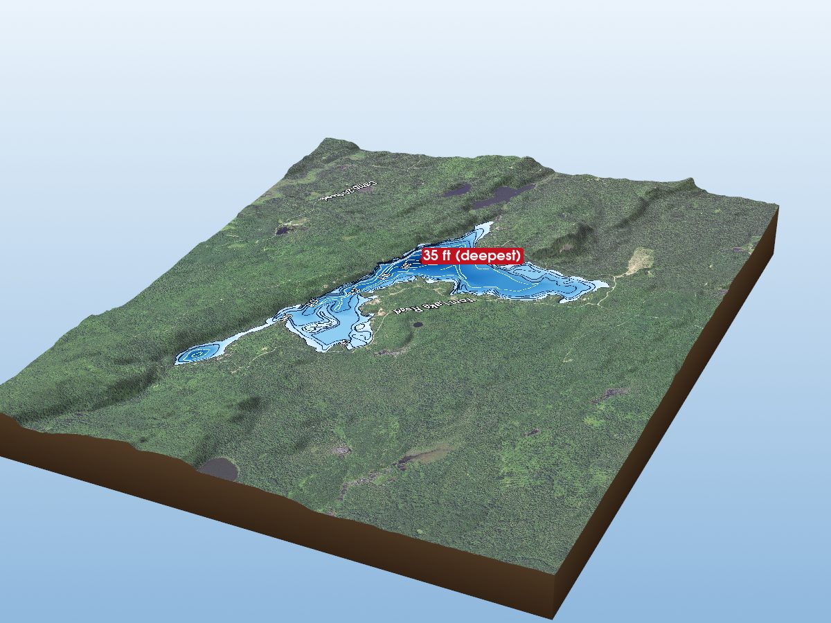
Tom Lake
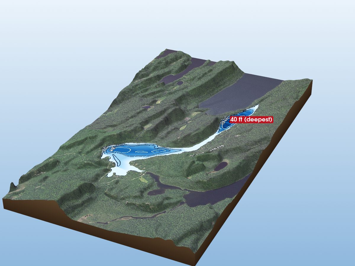
McFarland Lake
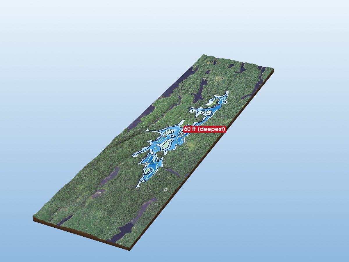
Gaskin Lake
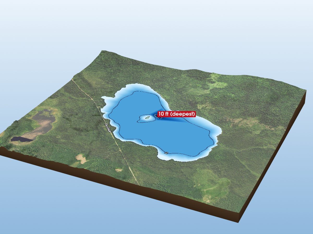
Toohey Lake
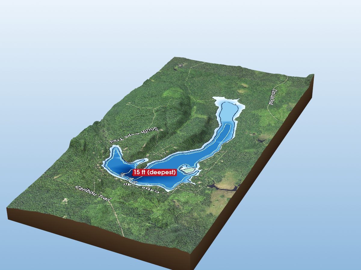
Tait Lake
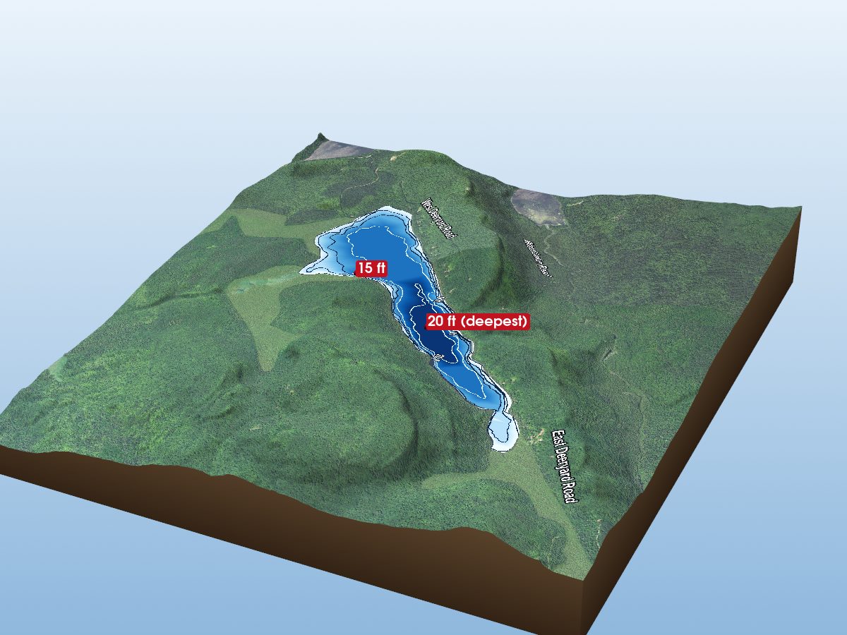
Deer Yard Lake
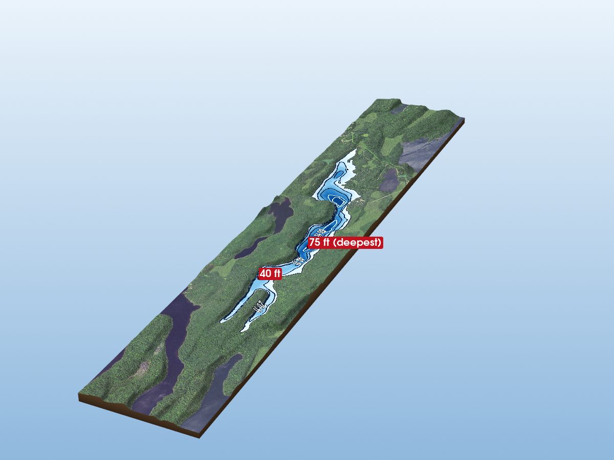
Flour Lake
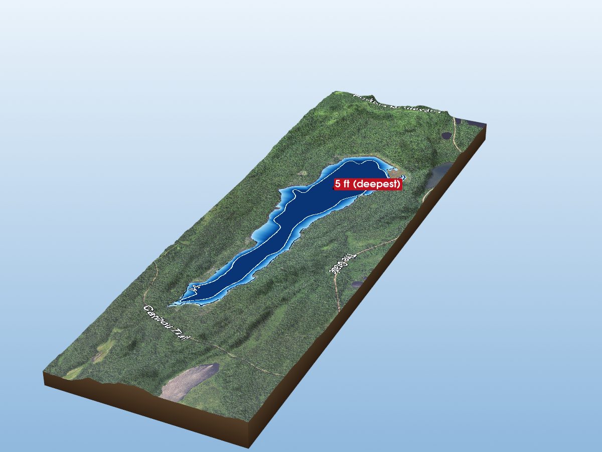
Little Cascade Lake
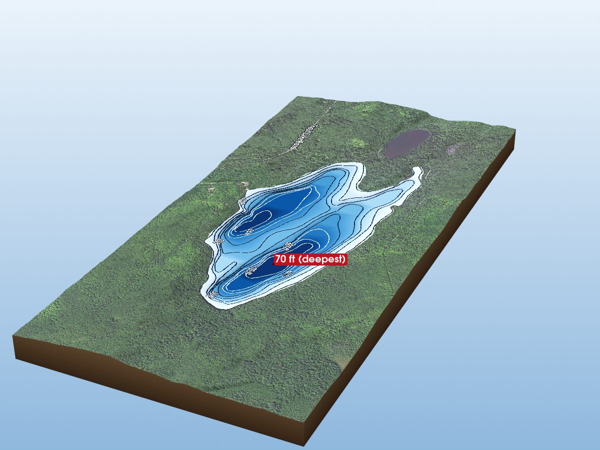
Trout Lake
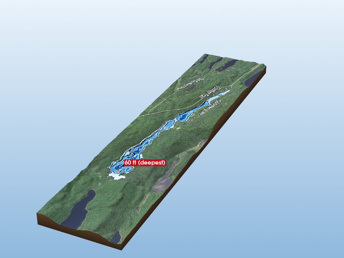
Birch Lake
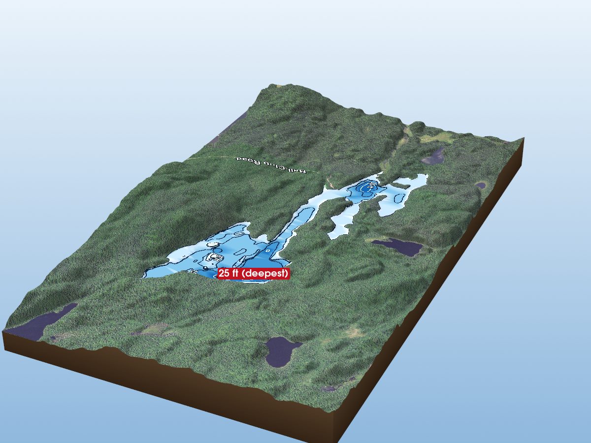
Ball Club Lake
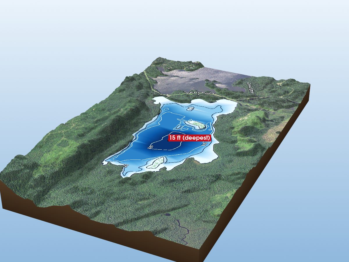
East Twin Lake
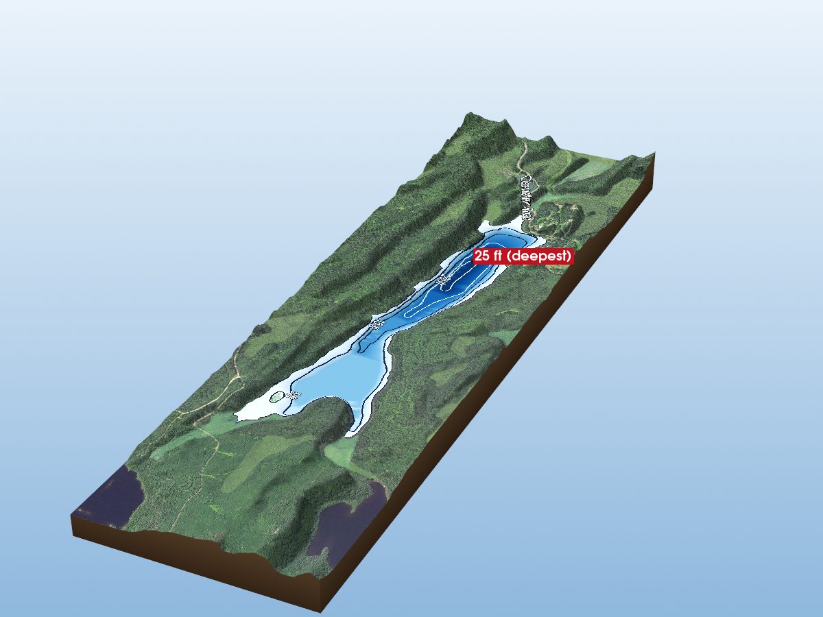
Aspen Lake
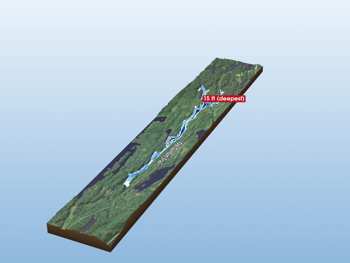
Iron Lake
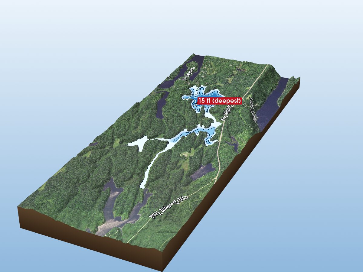
Little Iron Lake
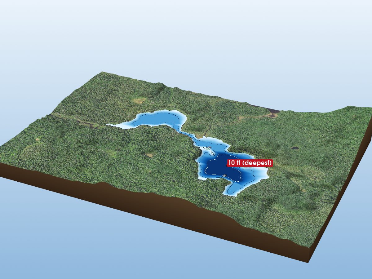
Wonder Lake
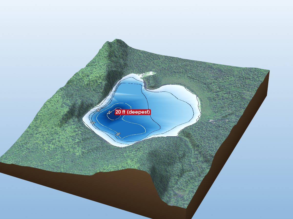
Dyers Lake
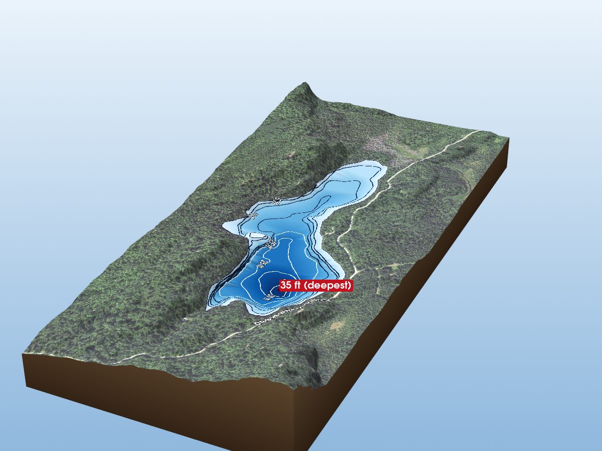
Chester Lake