Bass Lake
depth
Get directions
Depth scale
Survey readout
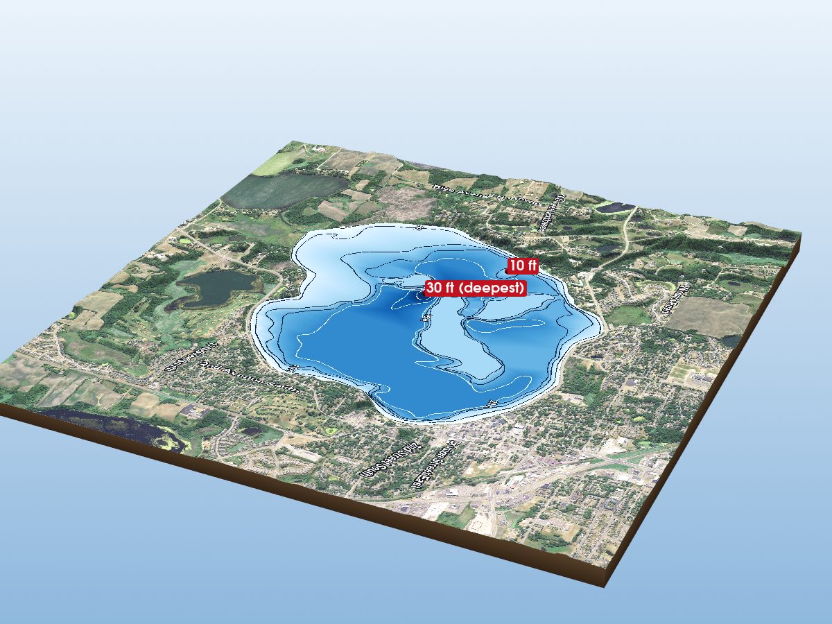
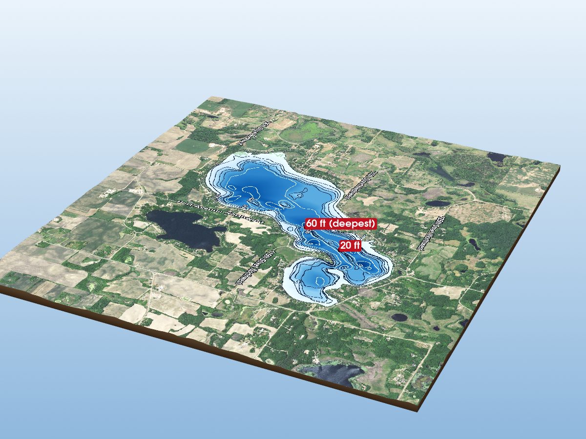
Bass Lake is mapped to a depth of 30 ft on the Minnesota DNR survey and covers about 214 acres in Wright County, Minnesota. Depths come from the Minnesota DNR survey of 1985.
Measured from the Minnesota DNR lake bathymetric contour survey.
- Deepest mapped contour
- 30 ft
- Survey year
- 1985
- Surface area
- 214 acres
- Shoreline
- 2.46 mi · round
- Aquatic vegetation
- 0% of surface · NDVI estimate
- Public access
- Trailer Launch · Bass Lake Public Water Access Site · Minnesota DNR site
Additional depth details6 contours
- Contour depths
- 0–30 ft
- Recorded point soundings
- 30 ft
Provenance
Sources: MN DNR Lake Bathymetric Contours, USGS 3DEP, USDA NAIP (public domain), OpenStreetMap (ODbL).
⚠ Not for navigationSpot an error? Send a correction
Map details & sources4 sources
All layers registered to one bounding box; positions in WGS 84.
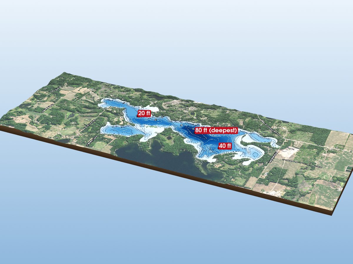
Survey-derived depth contours drape over USGS 3DEP elevation, with a USDA NAIP aerial basemap and OpenStreetMap shoreline. Color shows surveyed depth; dark lines are the survey's own isobaths.
- Coordinates
- 45.32152, -94.10275
- MN DNR lake ID
- 86023400
- Vertical exaggeration
- 2.66×
- Basemap
- USDA NAIP · public domain
- Model size
- 2.3 MB
Paddling
Paddling Index methodology v1.0 · calculated 2026-09-25Bass Lake has a mixed natural and developed setting, generally sheltered geometry, some nearby classified roads.
Why this score?5 components
Included in the index
| Component | Rating | Points of weight | Measurement |
|---|---|---|---|
| Natural setting | Mixed | 10.1 of 35 | 42% natural land cover within 150 m of shore (21% forest, 20% wetland; 35% developed) |
| Geometric wind exposure | Very Good | 19.4 of 29 | mean fetch 909 m · 0% of sampled water within 500 m of shelter · generally short fetch |
| Motor & speed rules | Not modeled | — | Minnesota’s lake-by-lake motor, speed and no-wake rules are mostly county and city ordinances, not map data, so they are not part of the Minnesota index. Check local signage and ordinances before going out. |
| Public access | Good | 15.0 of 18 | 1 DNR public access site · boat ramp |
| Road isolation | Good | 8.7 of 18 | some nearby classified roads · 4 MnDOT-classified segments within 1.2 km, peak 4,998 vehicles/day |
Additional paddling considerations
These describe the lake but are not part of the v1 Paddling Index and do not change the number above.
- Wake sensitivity
- Low — wide enough that wakes disperse over most of the lake
- Aquatic vegetation
- Low — approximately 0% mapped coverage · NAIP aerial imagery (NDVI)
- Observed motorized activity
- Unknown — No lake-level measurement of boat traffic is available. Legal permission to operate motors is not evidence of use.
- Wildlife habitat potential
- Limited — 21% forest and 20% wetland cover within 150 m of shore
Compare Minnesota lakes by Paddling Index →
Fish you might catch
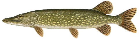
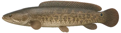
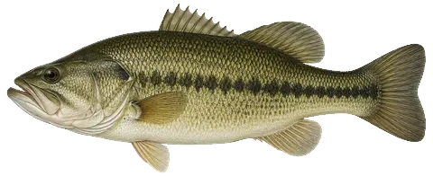
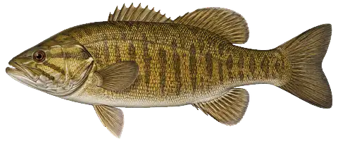
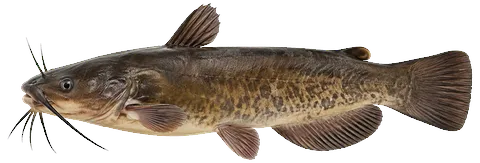
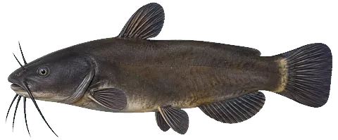
from DNR surveys14 species with recent evidence in this lake — sized relative to each other. Illustrations are AI-generated representative adults in everyday colors, not photographs (provenance).
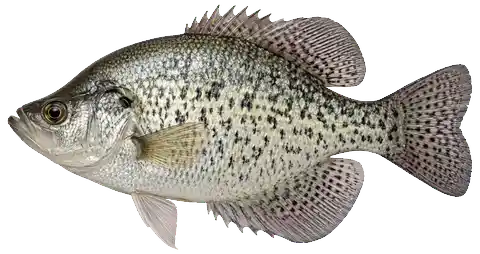
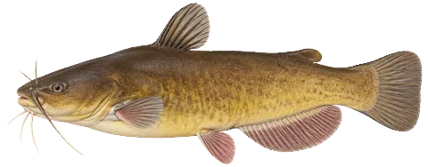
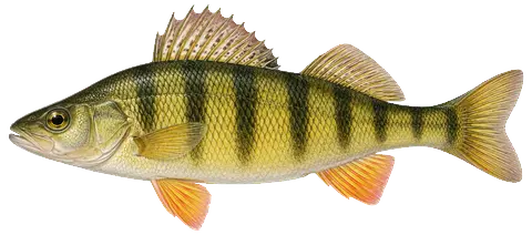
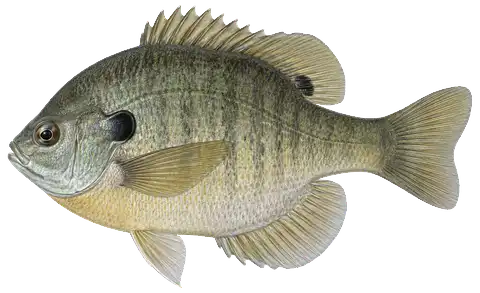
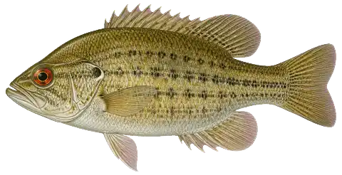
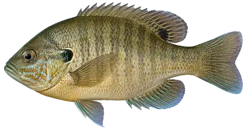 Hybrid Sunfish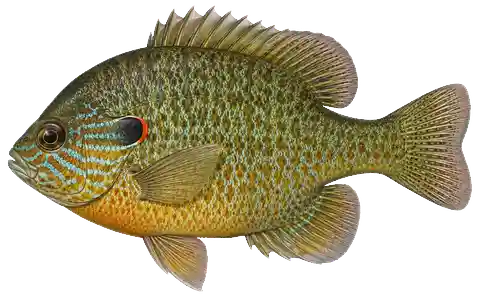
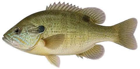
About these fish → the Fish of Minnesota guide
Fishery
surveyed 2017Gamefish Largemouth Bass 168 · Northern Pike 97 · Bowfin 1 · Smallmouth Bass 1
Panfish Bluegill 551 · Hybrid Sunfish 208 · Pumpkinseed 73
All survey species14 species
Gamefish
Panfish
Bullhead & catfish
Infested waters listing
1 confirmedMussels & snails
 Zebra MusselConfirmed in this water in 2024 (listed 2024).
How to identify invasive species in Minnesota lakes →
What does the infested waters list mean?
The Minnesota DNR lists a lake, river, pond or wetland as infested when it contains an aquatic invasive species that could spread to other waters, or when it is connected to a water where one is present. Activities such as bait harvest and water use are managed differently on infested waters. Check the current list before moving water, bait or equipment.
Source: Minnesota Department of Natural Resources. List of Infested Waters, September 9, 2026. https://www.dnr.state.mn.us/invasives/ais/infested.html
Bass Lake — common questions
How deep is Bass Lake?
The deepest contour on the Minnesota DNR bathymetric survey of Bass Lake is 30 ft. That is the deepest depth the historical survey map records, which may differ from the deepest point of the lake itself.
How big is Bass Lake?
Bass Lake covers about 214 acres in Wright County, Minnesota.
What fish are in Bass Lake?
Species with survey, catch or recent-stocking evidence include largemouth bass, northern pike, smallmouth bass, black bullhead, black crappie, bluegill. The page lists all 14 species and the evidence behind each.
Is there public access to Bass Lake?
Yes. The Minnesota DNR lists a public access site on Bass Lake: a boat ramp with a boat dock and restrooms. It is administered by the DNR Division of Parks and Trails. DNR directions: "5 mi N of Annandale on Co.Rd. 24, 1 mi W on 120 then .5 mile S to SW shore."