Minnesota · Douglas County
Douglas County lake depth maps
Explore 53 lakes as 3D depth maps, built from Minnesota DNR bathymetric surveys — surveyed depth draped over real elevation and aerial imagery.
Featured depth maps
Where the lakes are
Dot size and shade follow max depth: under 15 ft 100 ft and deeper
All 53 mapped lakes in Douglas County; deepest is Lake Carlos at 150 ft. Tap a dot to open that lake.
Depth (ft)
–
Acreage
–
Max weeds (aquatic veg %)
%
County
Fish species (surveyed lakes)
Surveyed since (fishery)
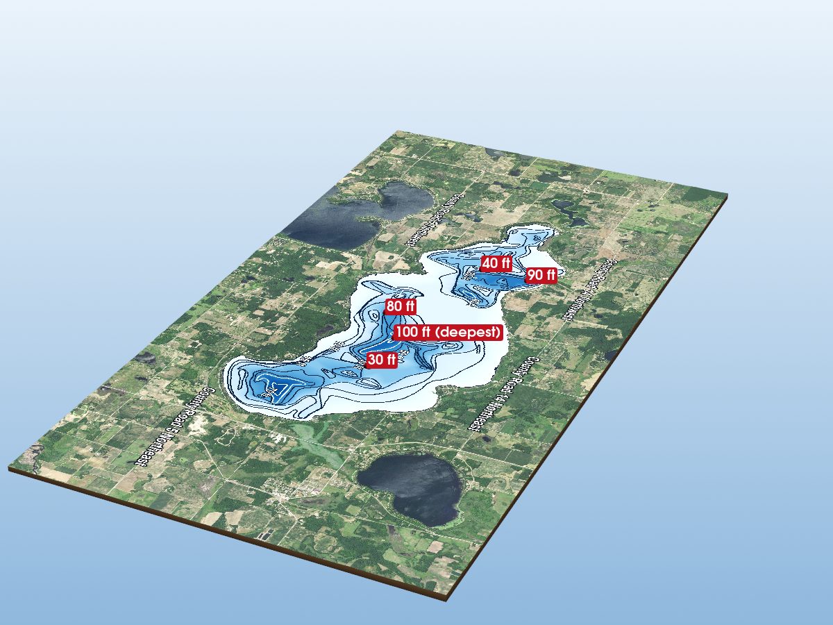
Lake Miltona
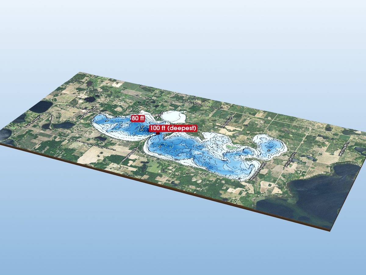
Lake Ida
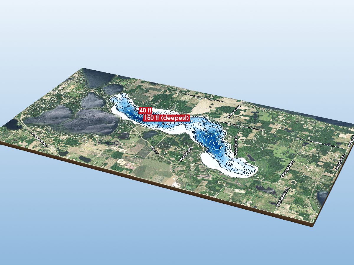
Lake Carlos
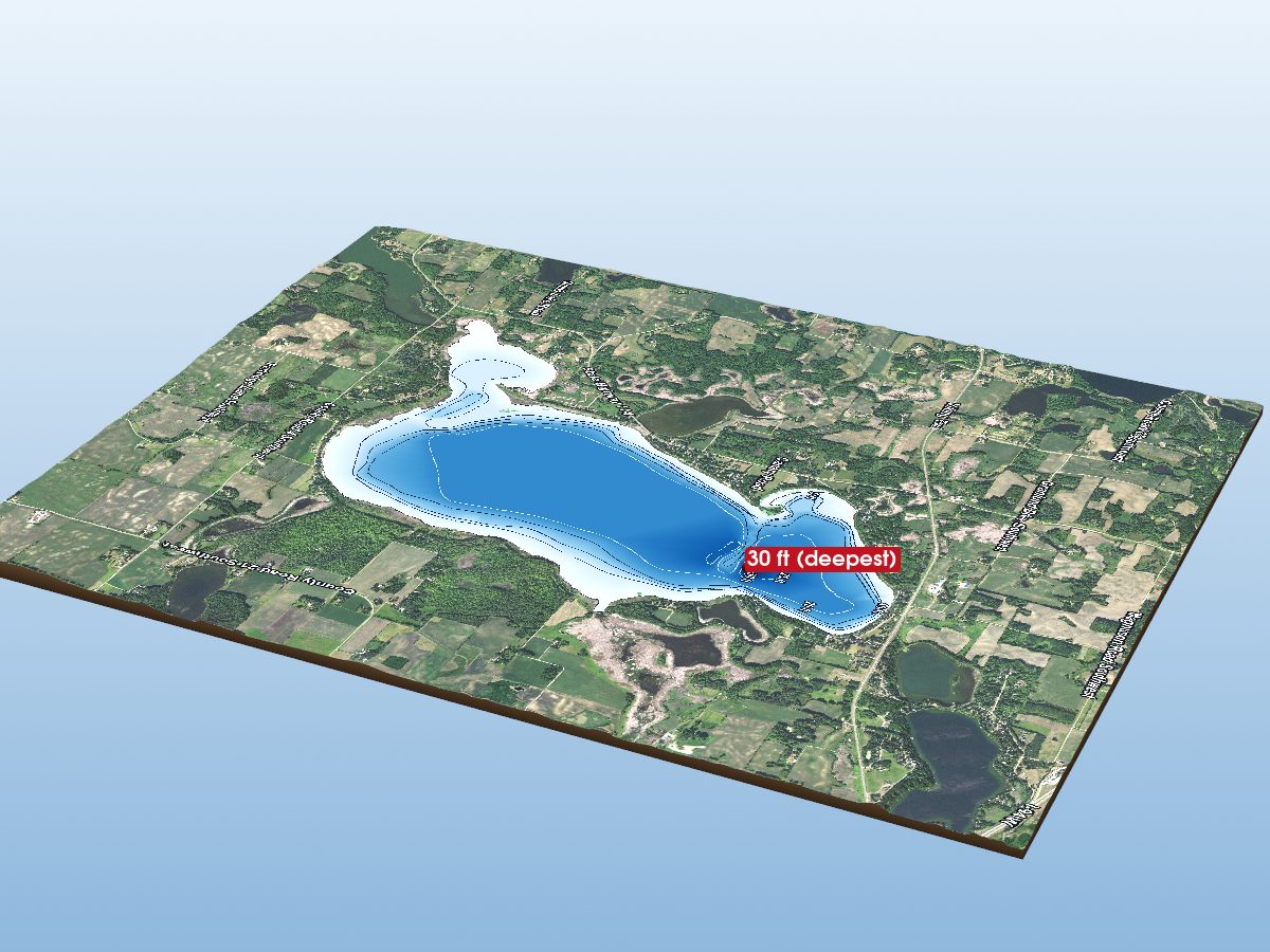
Lake Mary
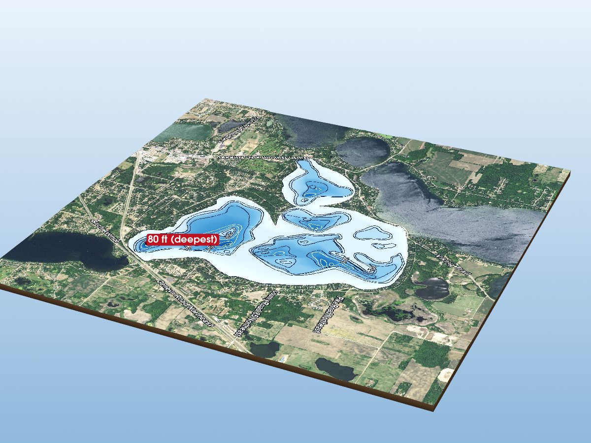
Lake Le Homme Dieu
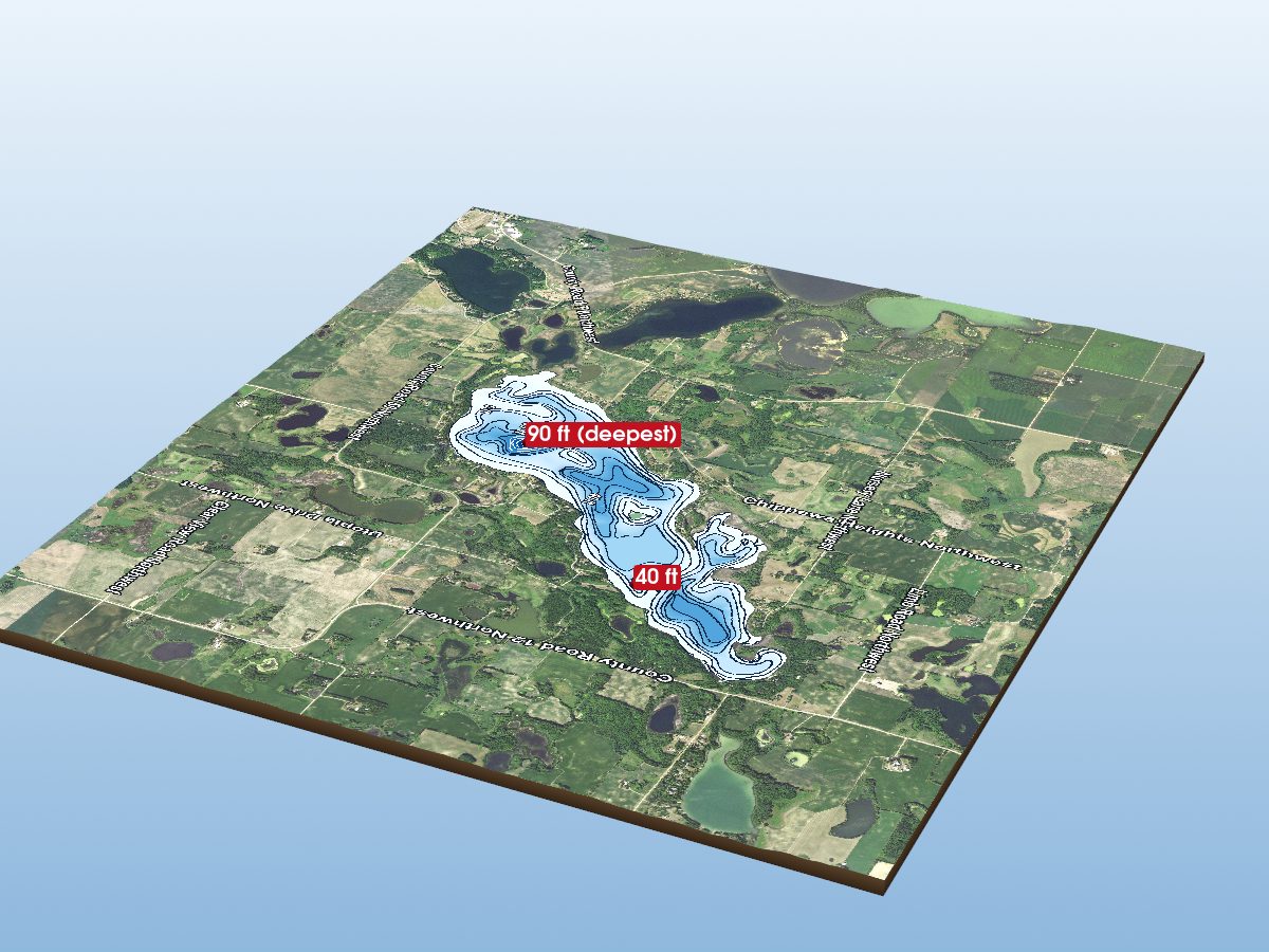
Chippewa Lake
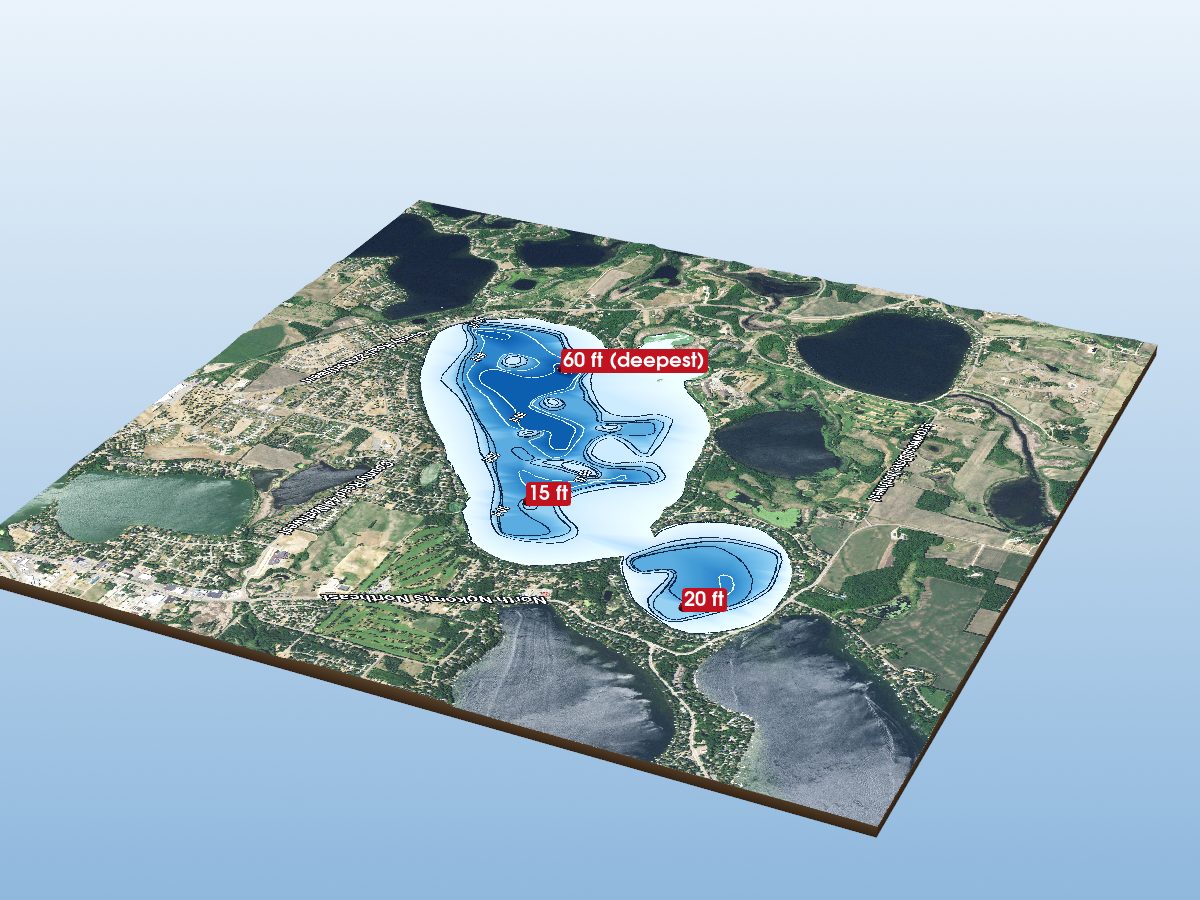
Lake Darling
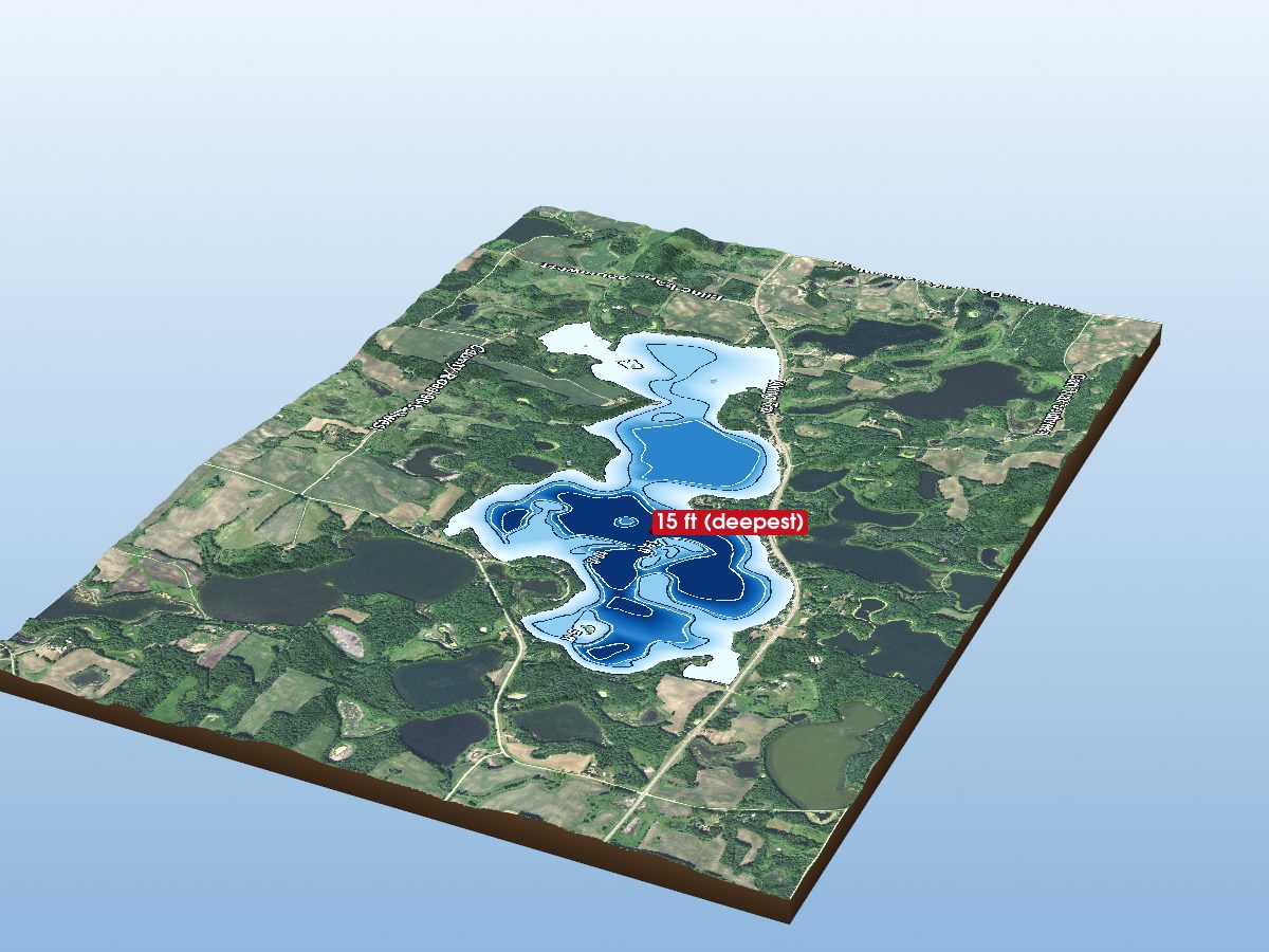
South Oscar Lake
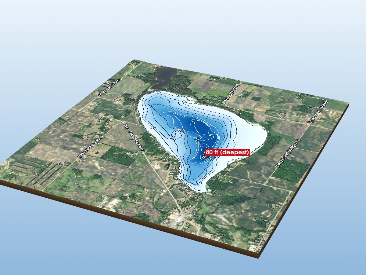
Lake Andrew
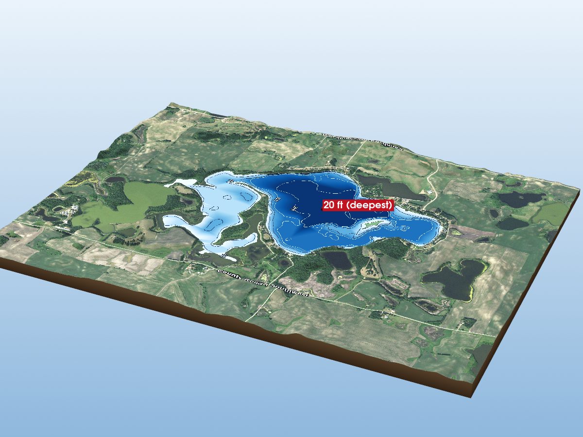
Red Rock Lake
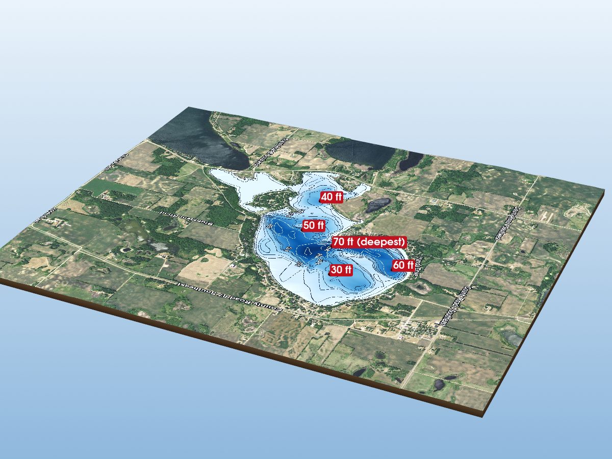
Maple Lake
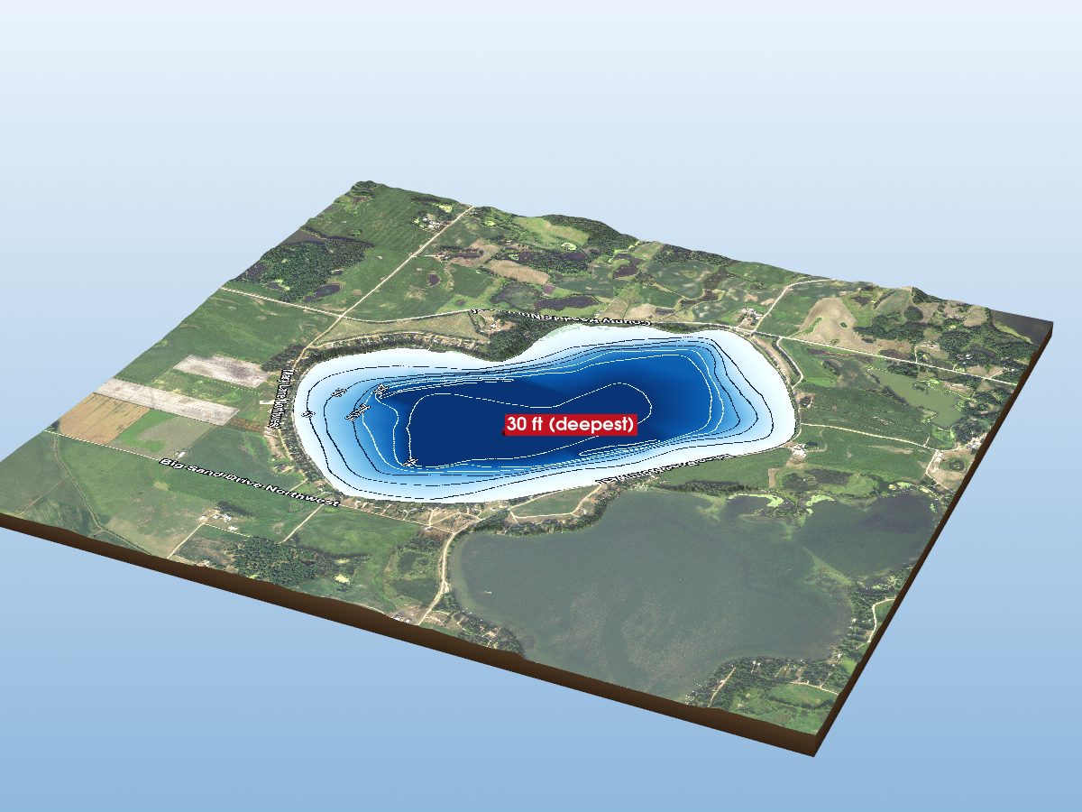
Lake Moses
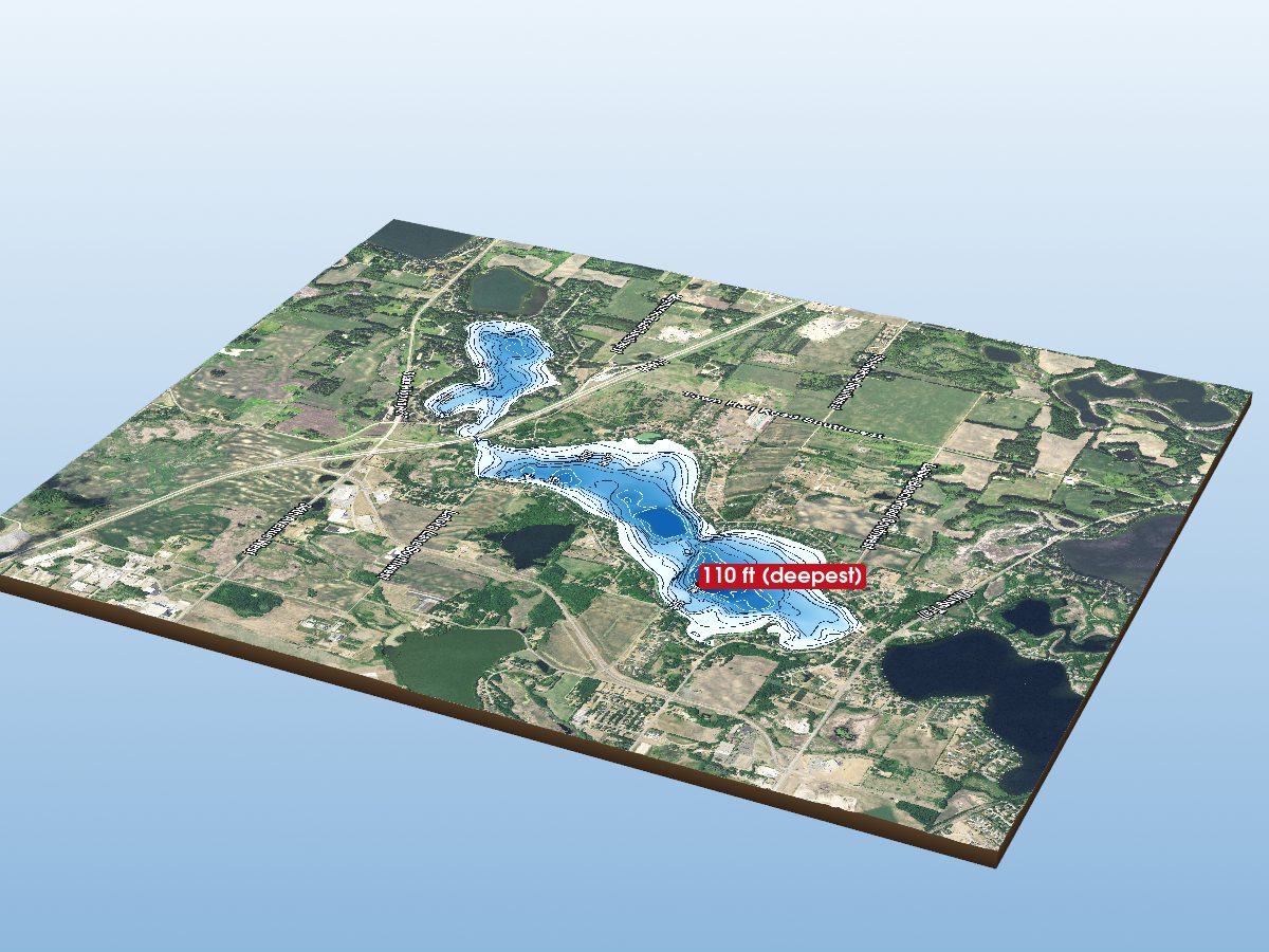
Lake Latoka
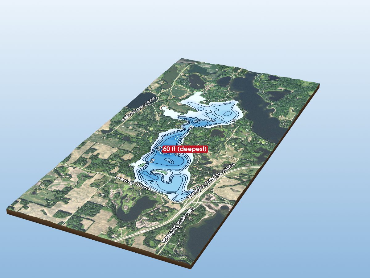
Lobster Lake (East Bay)
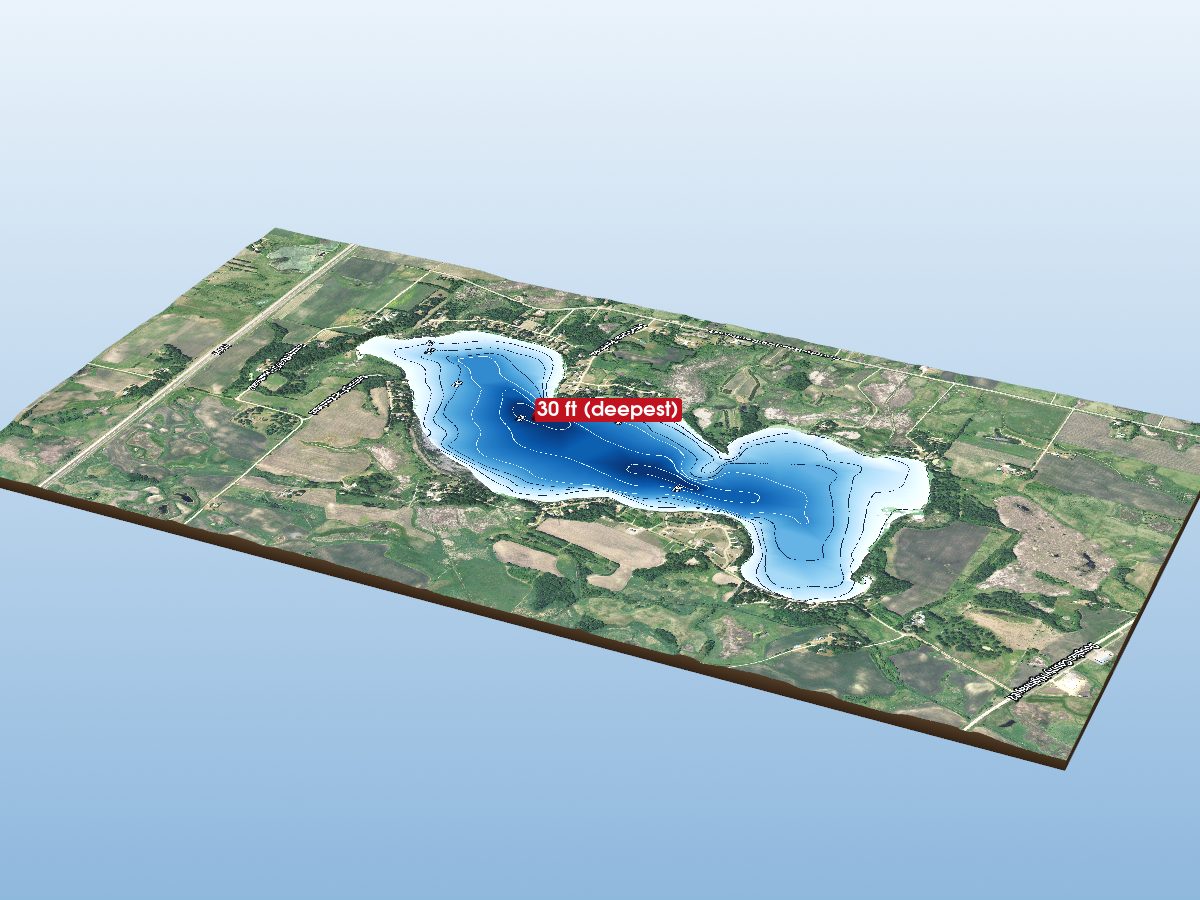
Smith Lake
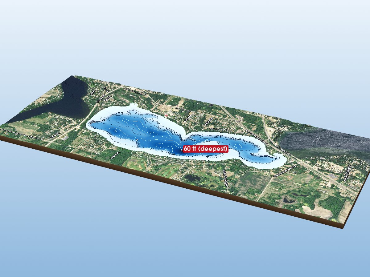
Lake Geneva
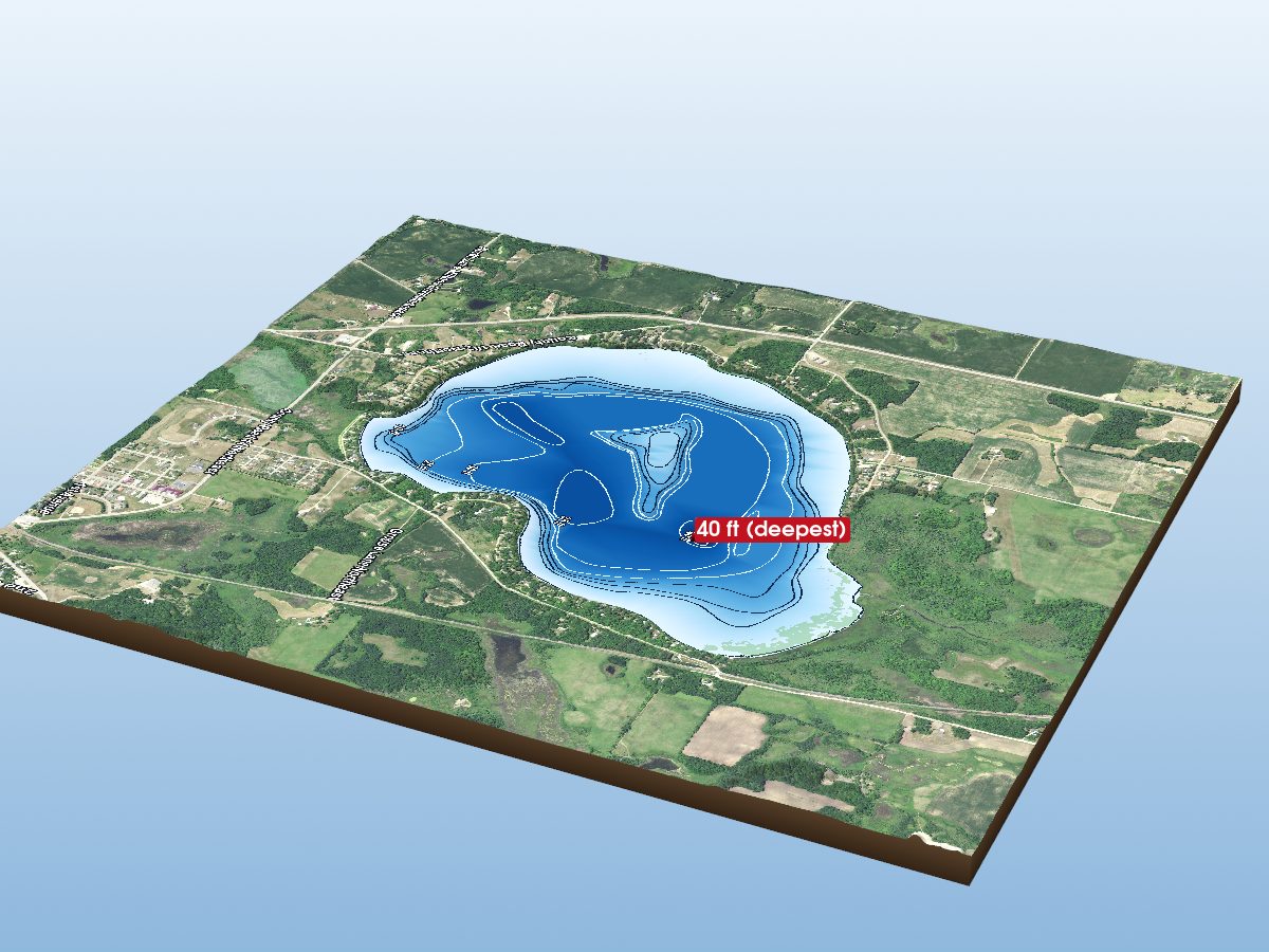
Lake Irene
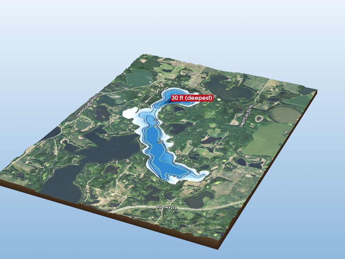
Lobster Lake (West Bay)
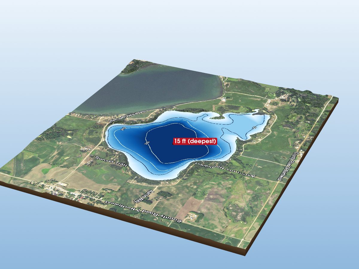
Lake Aaron
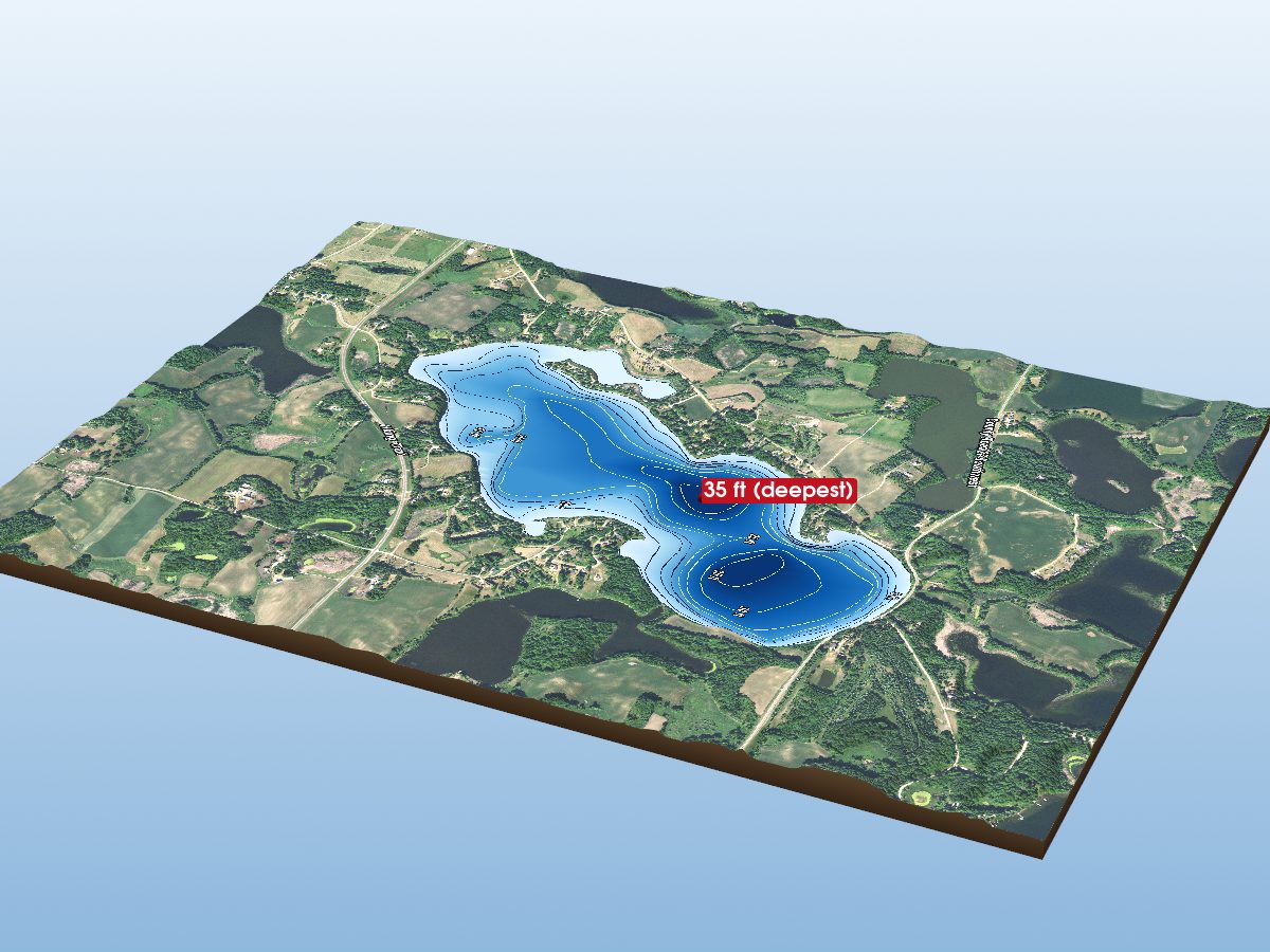
Mill Lake
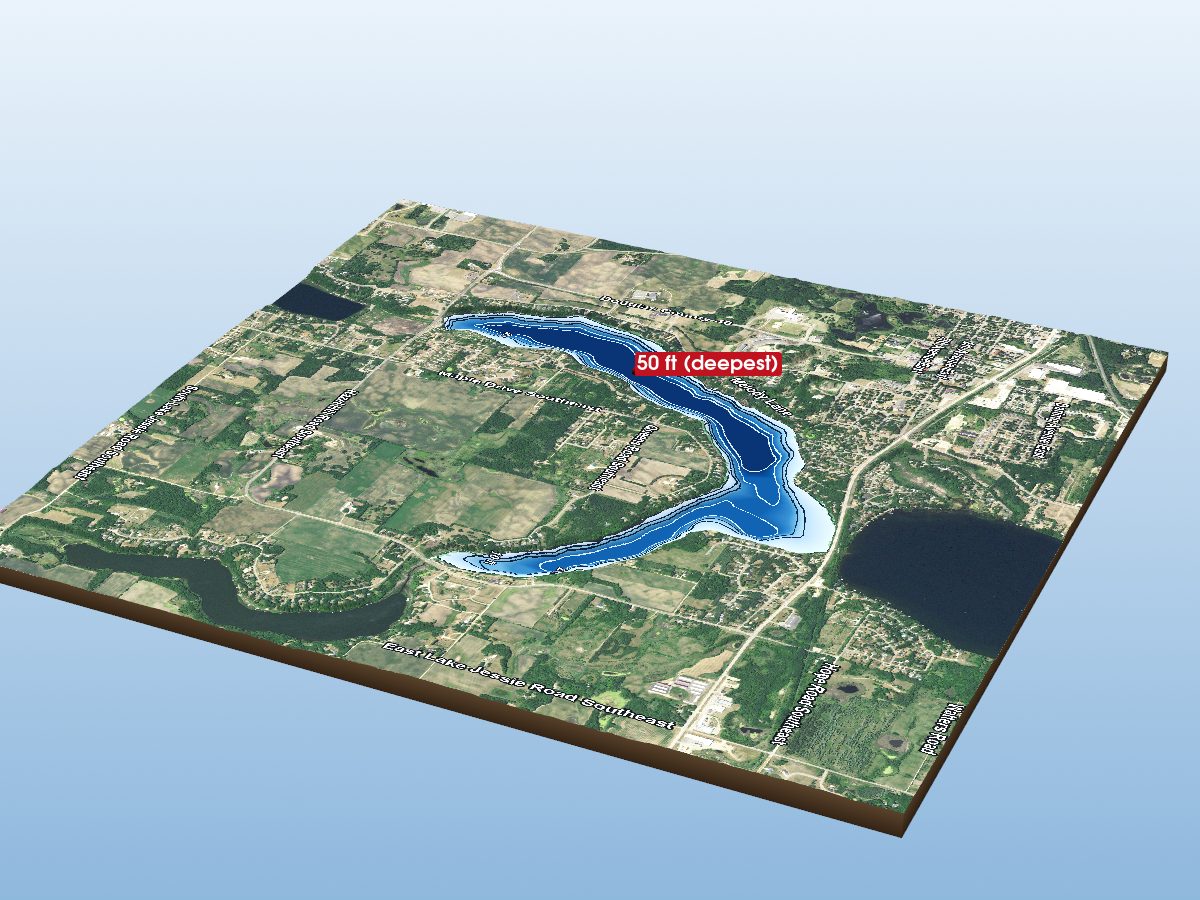
Lake Victoria
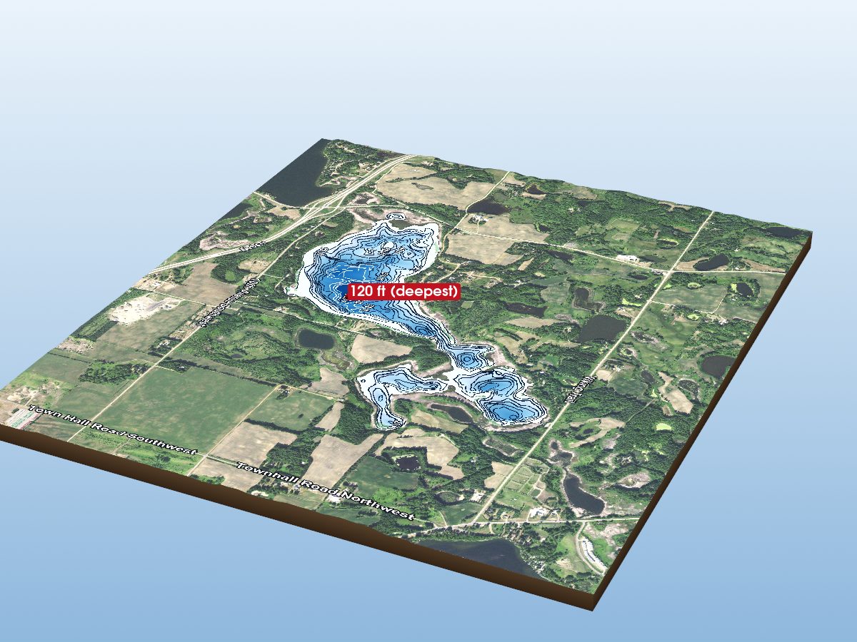
Lake Mina
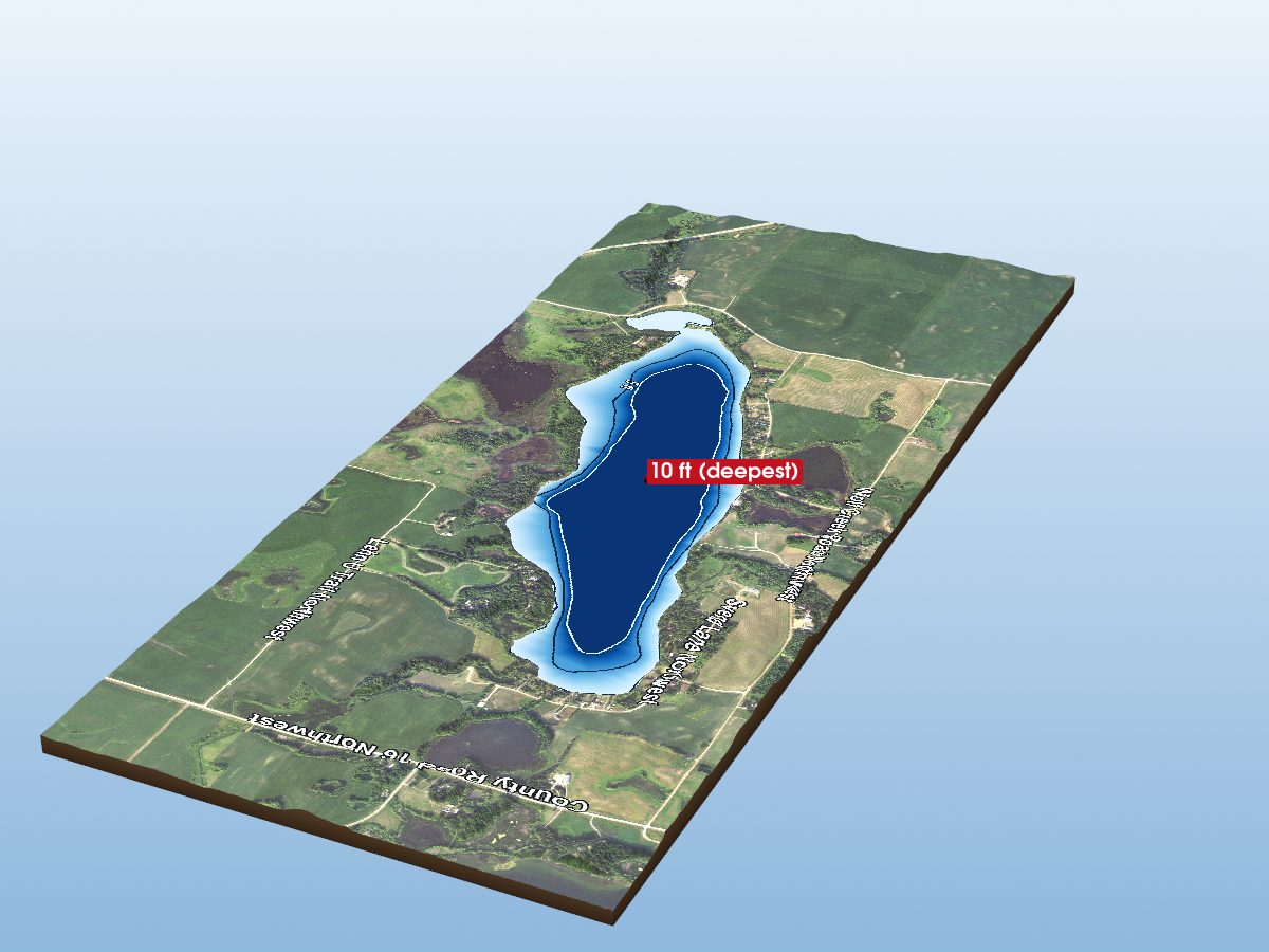
Stowe Lake
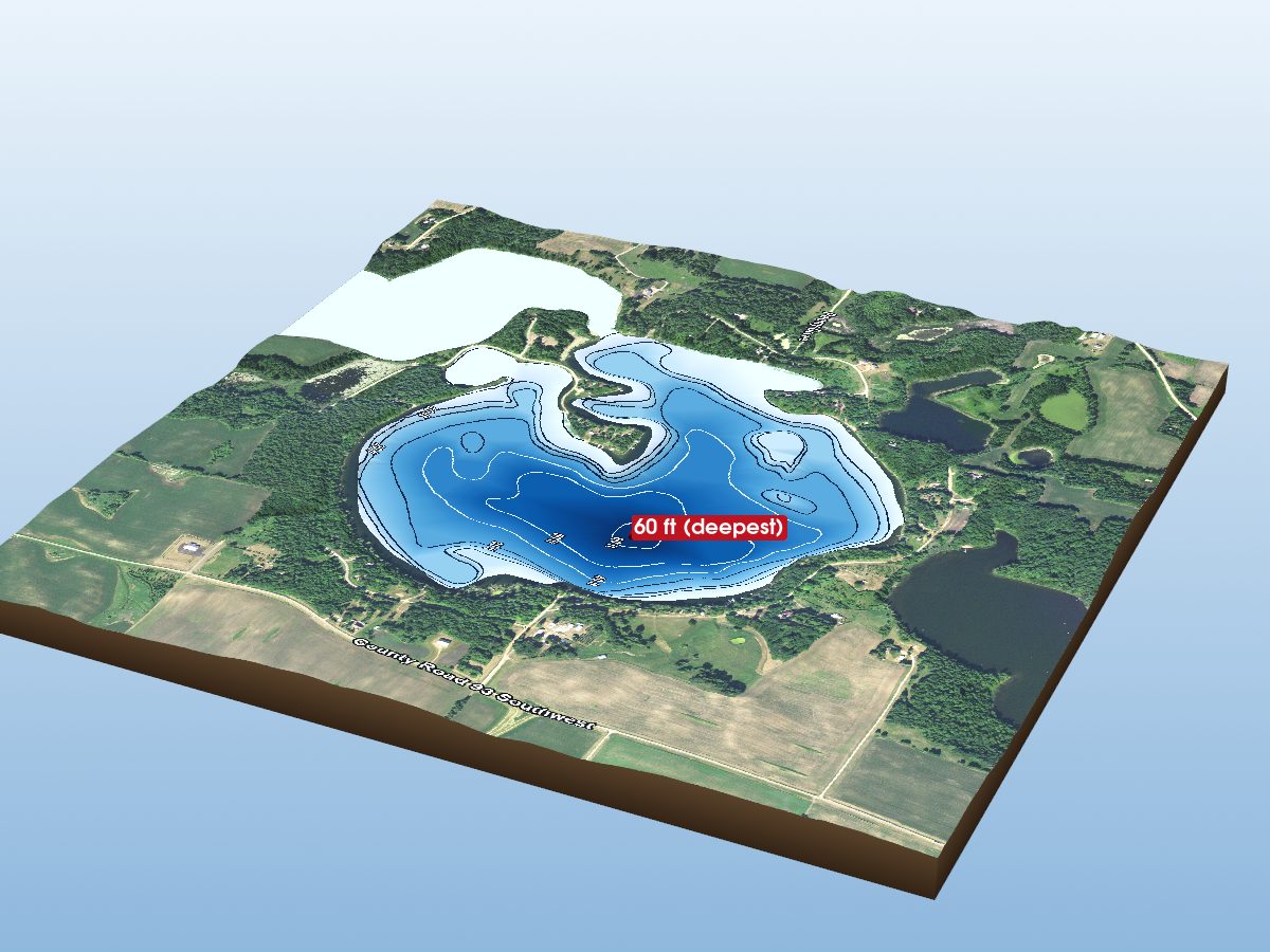
Lake Rachel
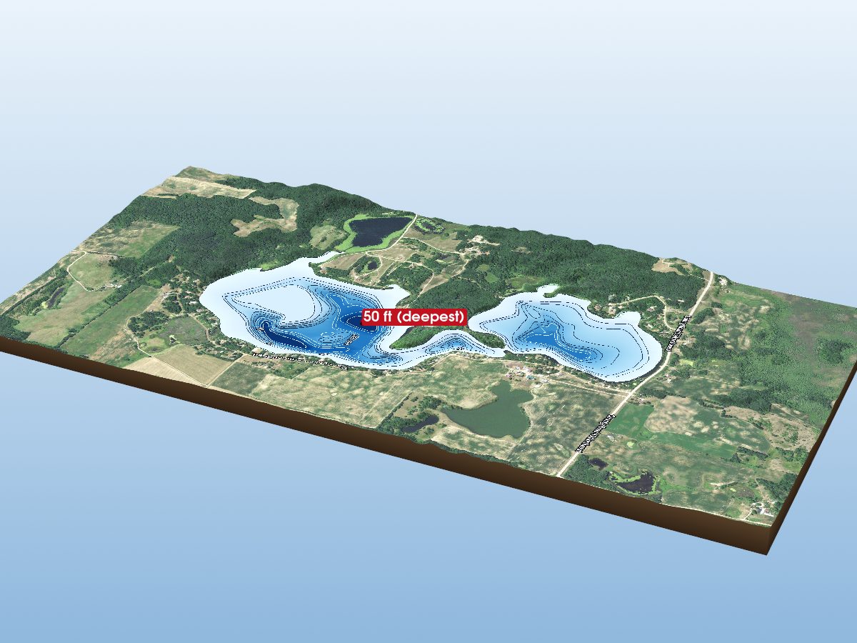
Vermont Lake
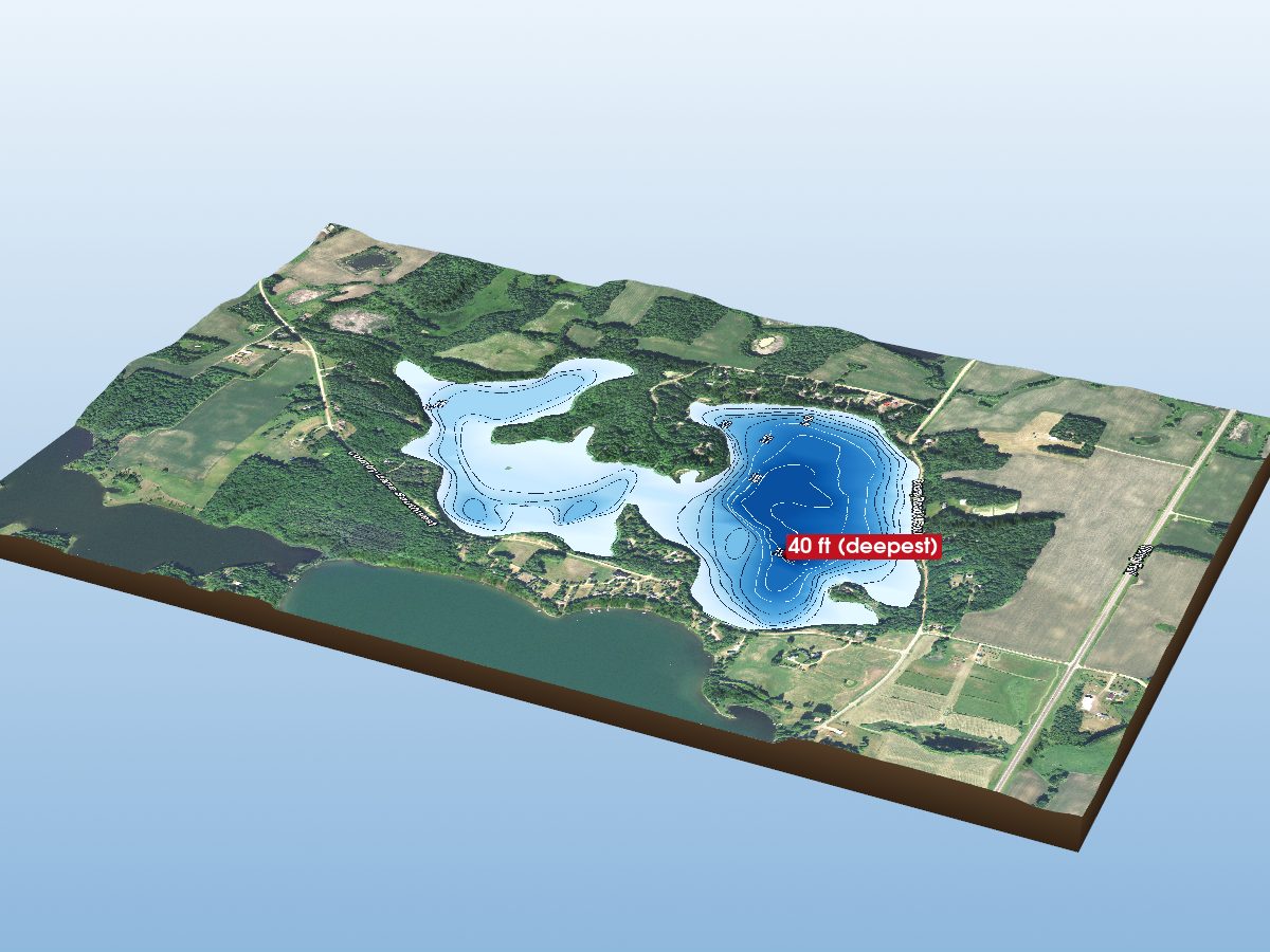
Blackwell Lake
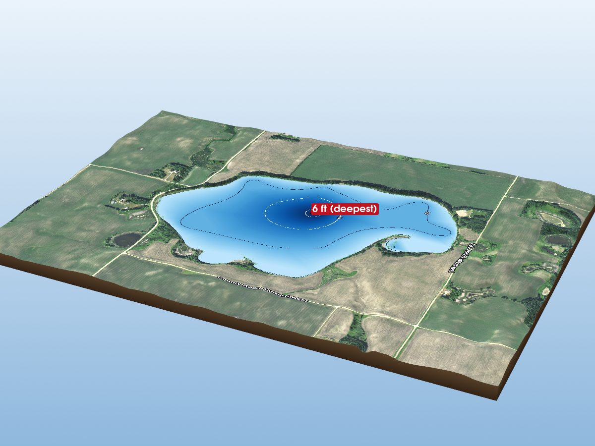
Jennie Lake
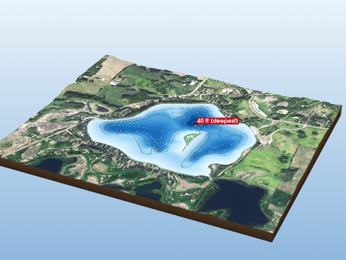
Lake Brophy
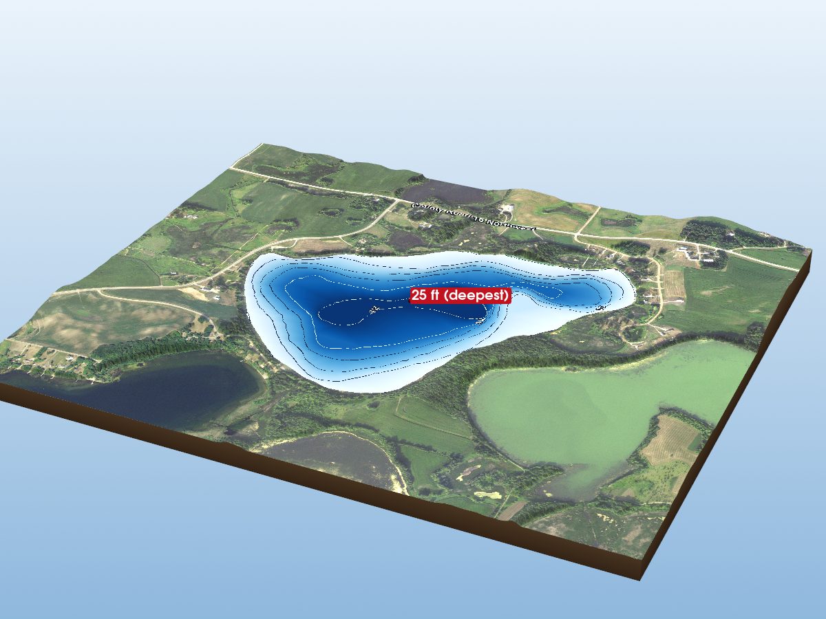
Little Chippewa Lake
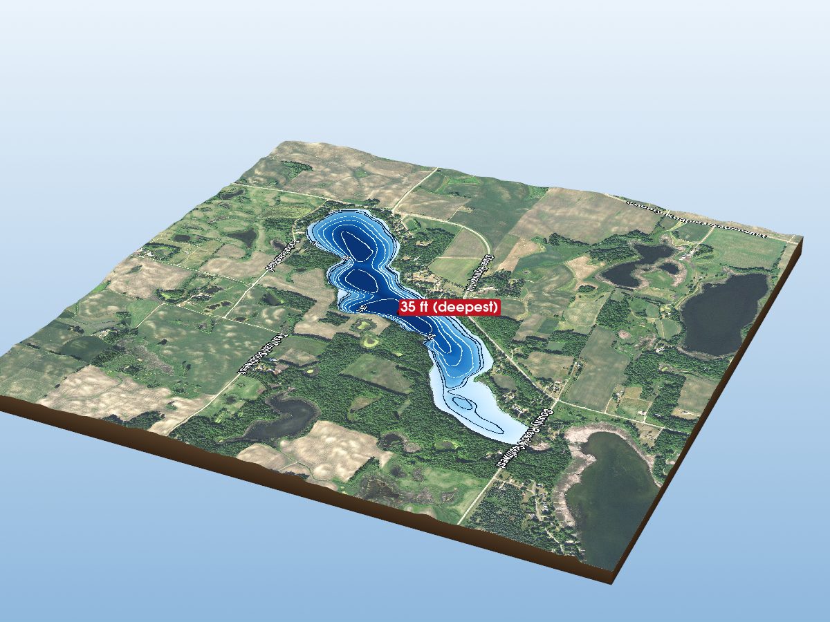
Pocket Lake
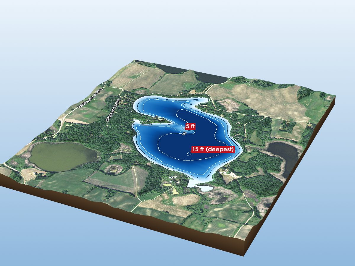
Freeborn Lake
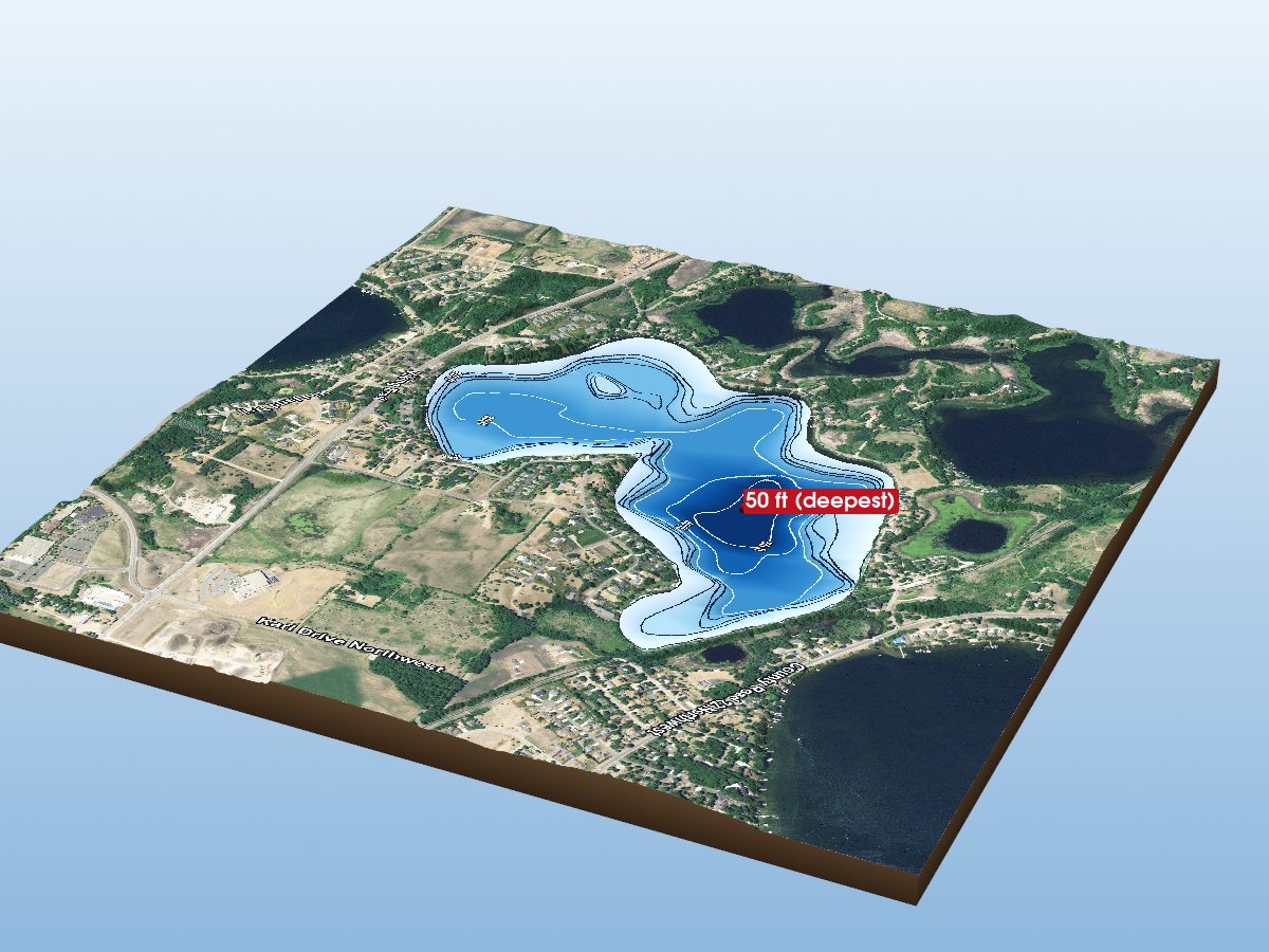
Lake Cowdrey
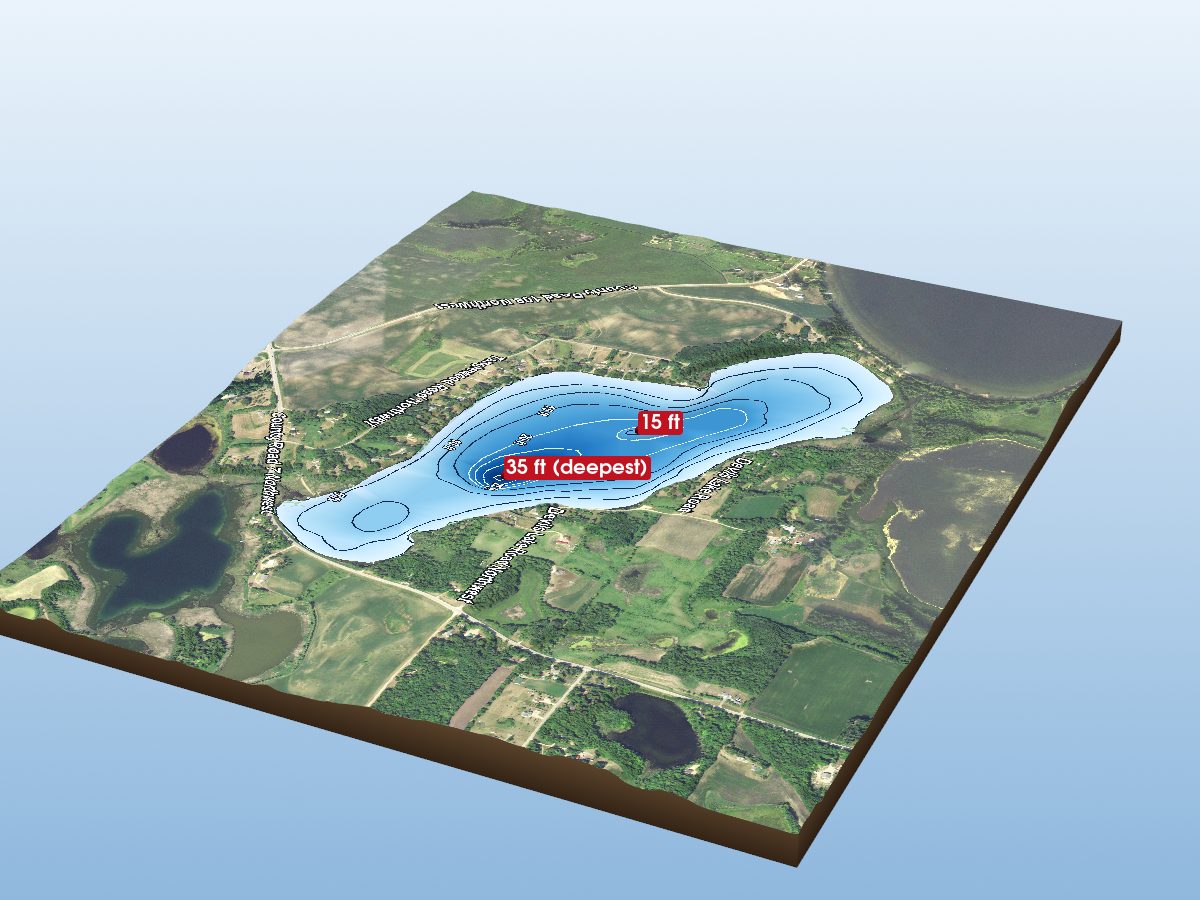
Devils Lake
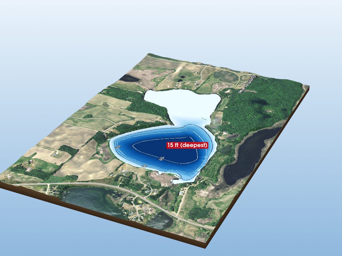
Turtle Lake
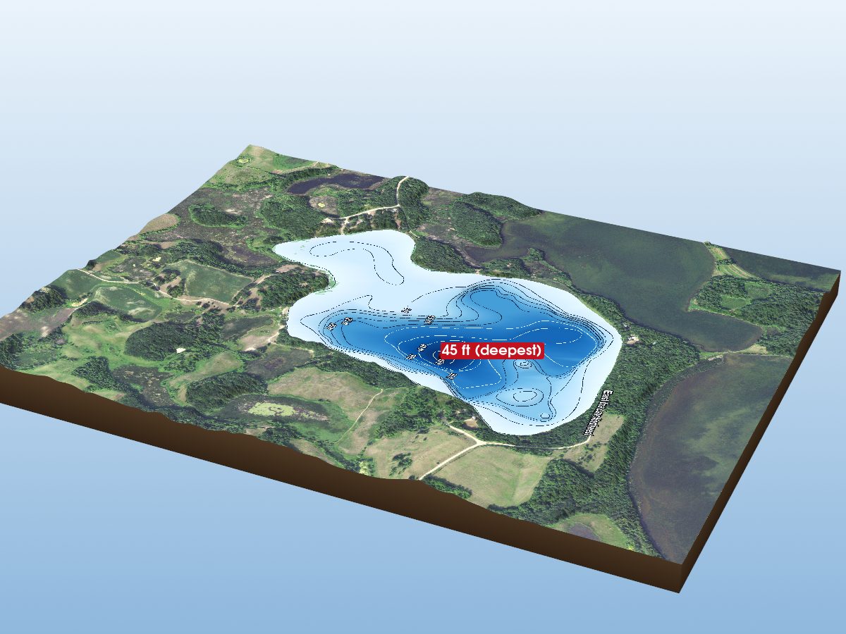
Lake Ina
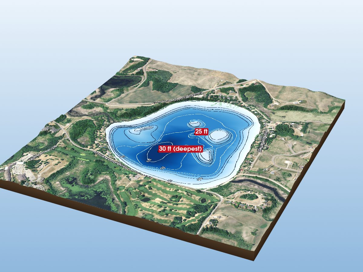
Lake Louise
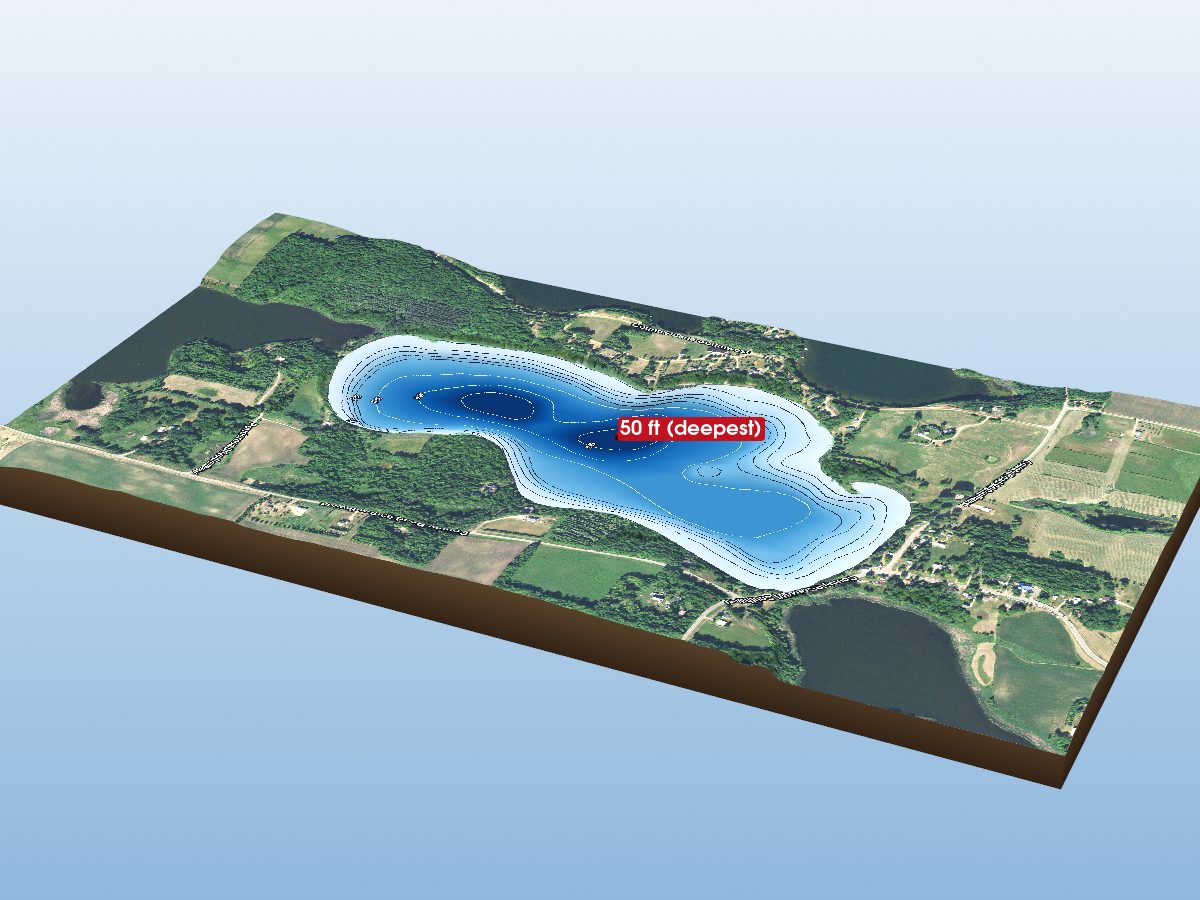
Grants Lake
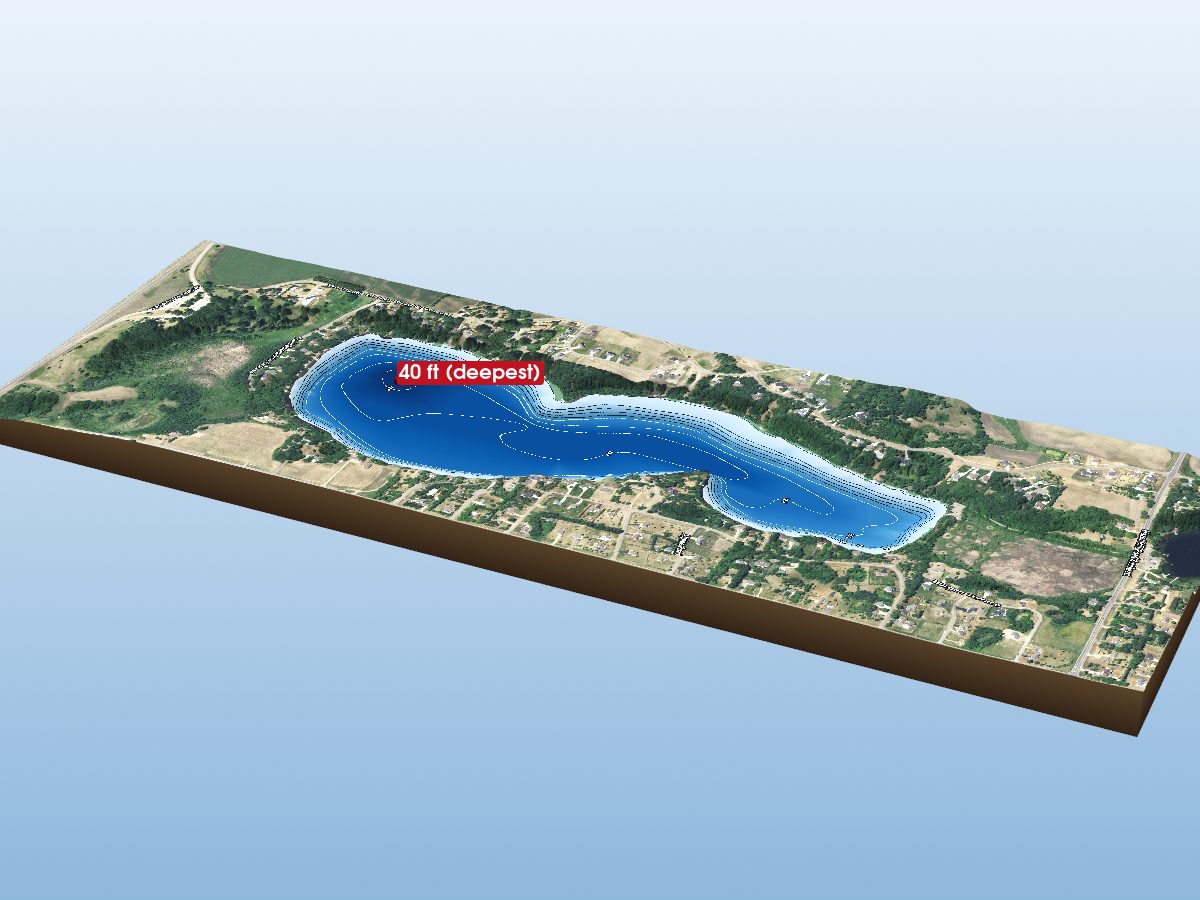
Burgen Lake
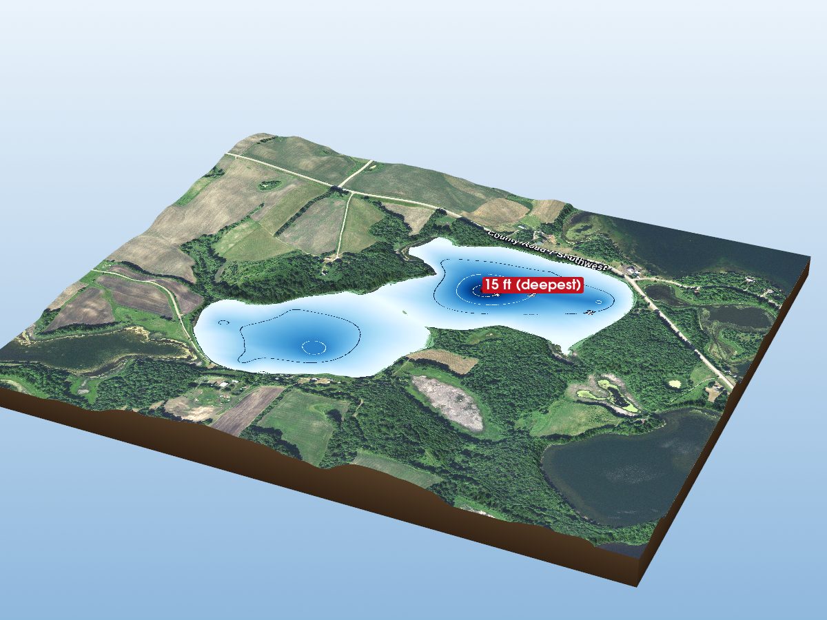
Little Lake Oscar (Main)
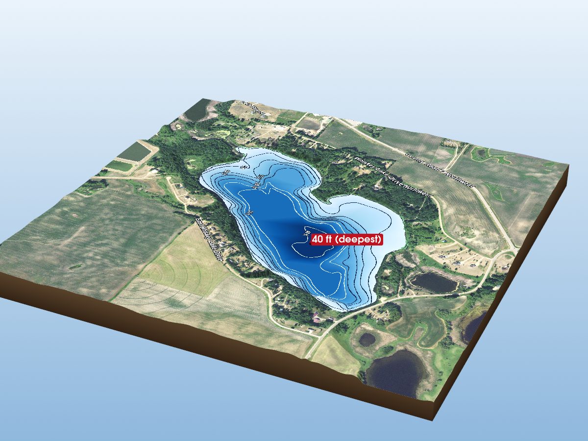
Whiskey Lake
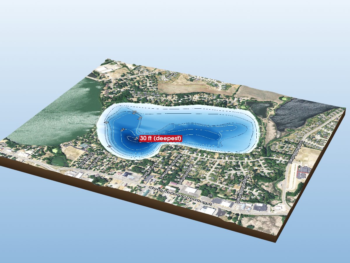
Lake Henry
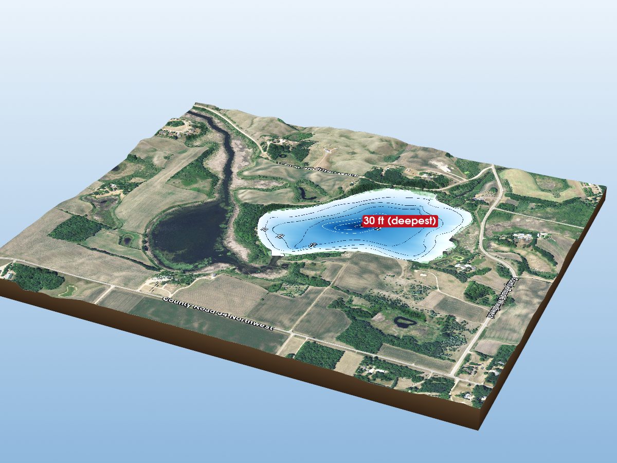
Lake Charley
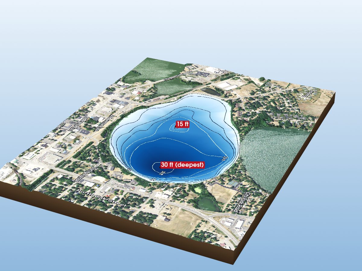
Lake Agnes
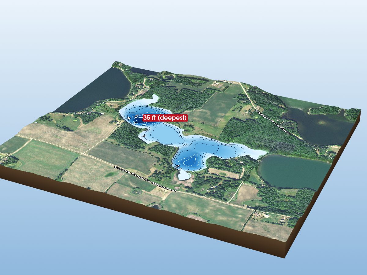
Echo Lake
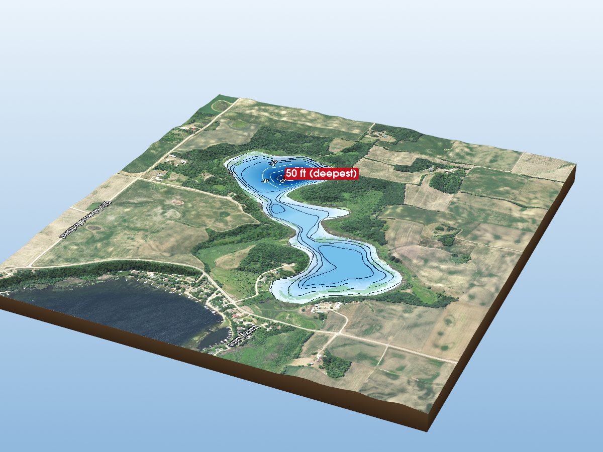
Spring Lake
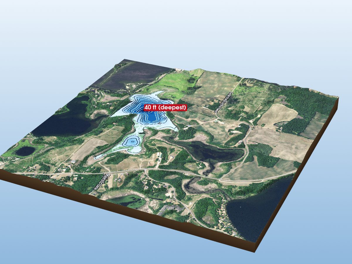
North Union Lake
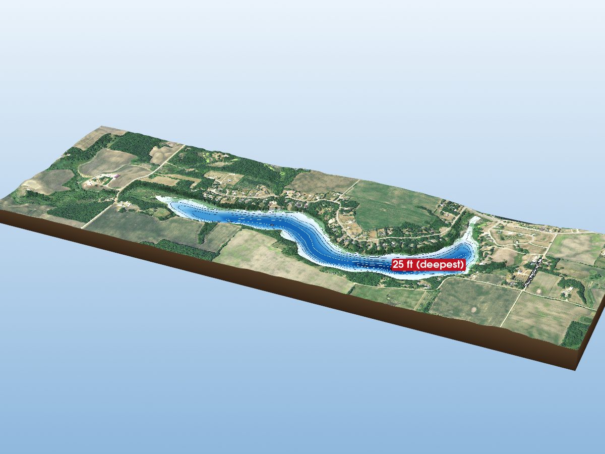
Lake Jessie
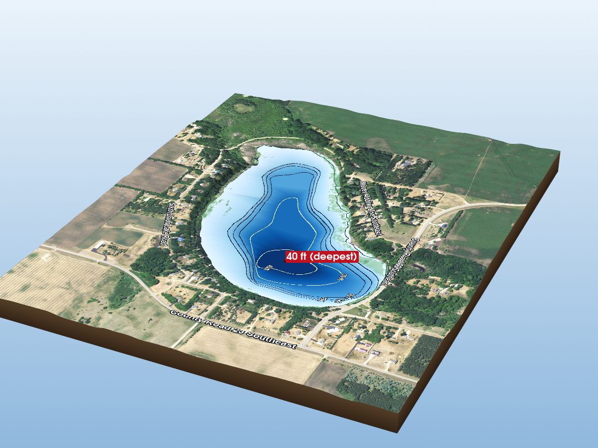
Union Lake
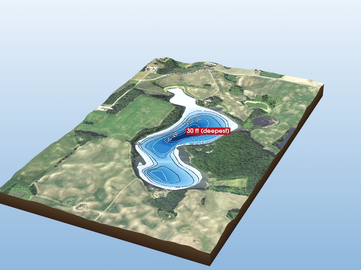
Indian Lake
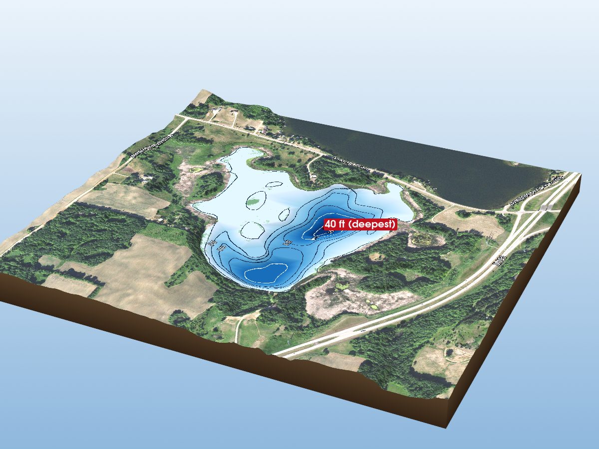
Cook Lake
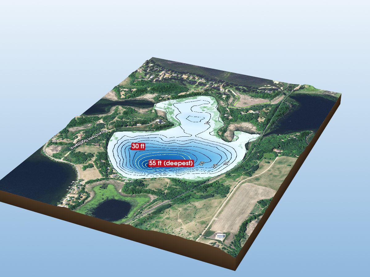
Lake Stony
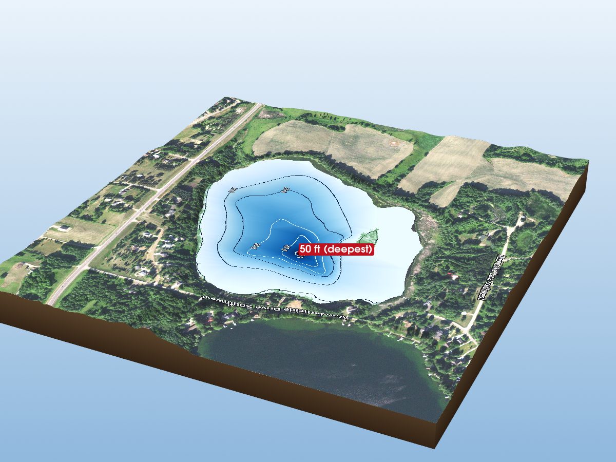
Nelson Lake
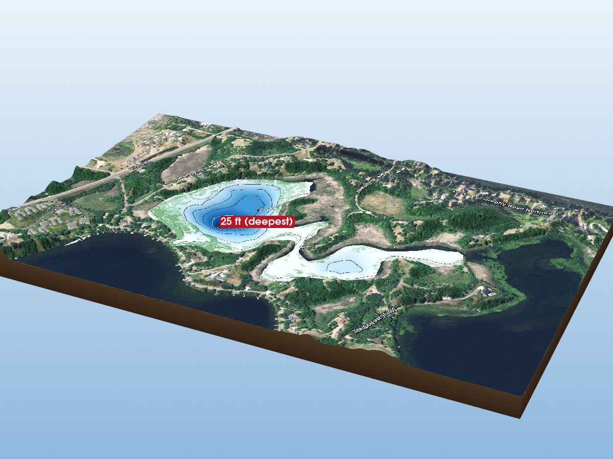
Lottie Lake