Minnesota · Aitkin County
Aitkin County lake depth maps
Explore 45 lakes as 3D depth maps, built from Minnesota DNR bathymetric surveys — surveyed depth draped over real elevation and aerial imagery.
Featured depth maps
Where the lakes are
Dot size and shade follow max depth: under 15 ft 100 ft and deeper
All 45 mapped lakes in Aitkin County; deepest is Round Lake at 120 ft. Tap a dot to open that lake.
Depth (ft)
–
Acreage
–
Max weeds (aquatic veg %)
%
County
Fish species (surveyed lakes)
Surveyed since (fishery)
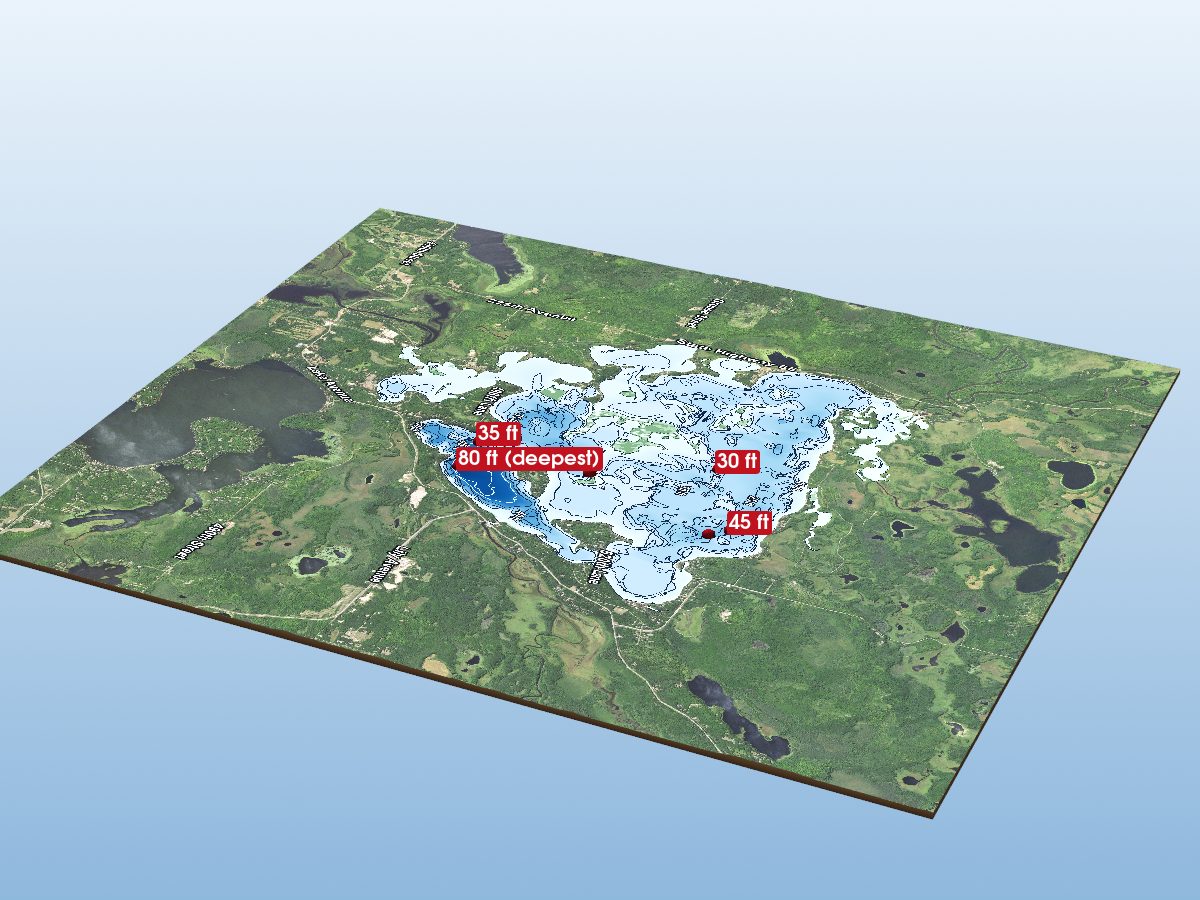
Big Sandy Lake
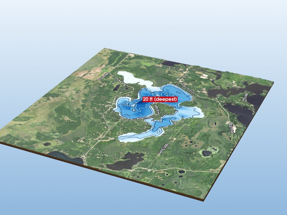
Lake Minnewawa
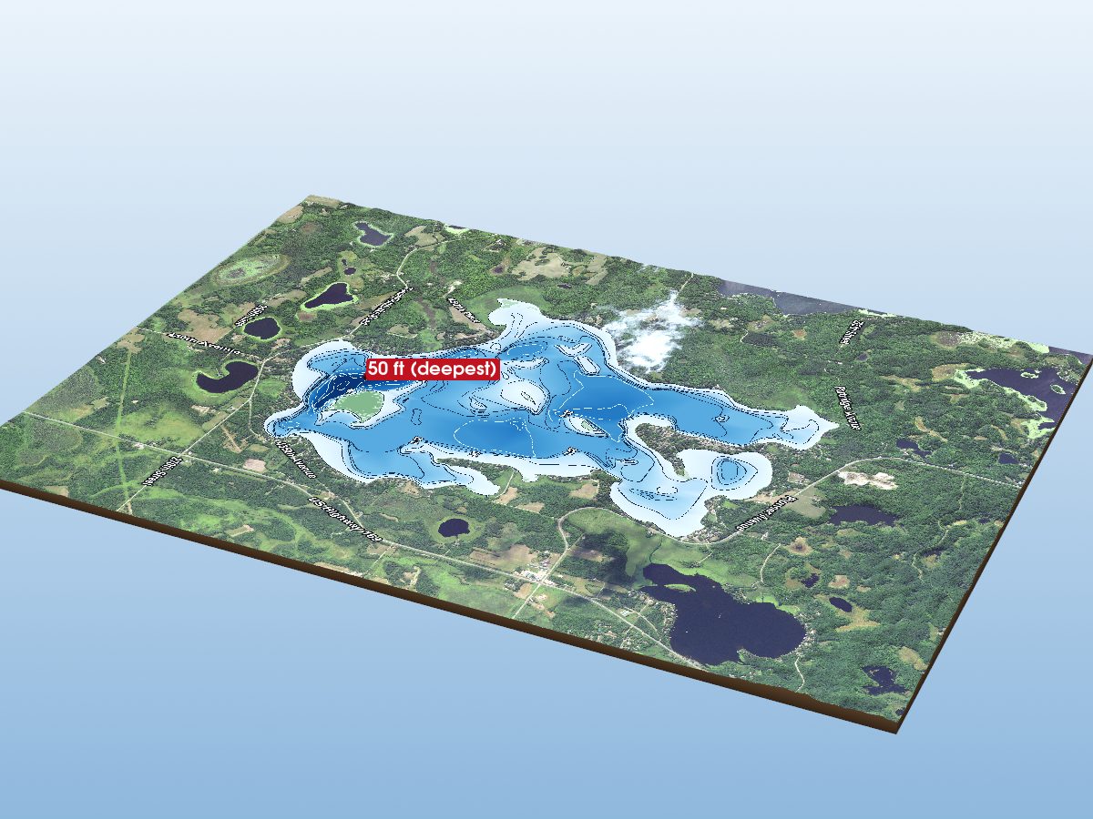
Farm Island Lake
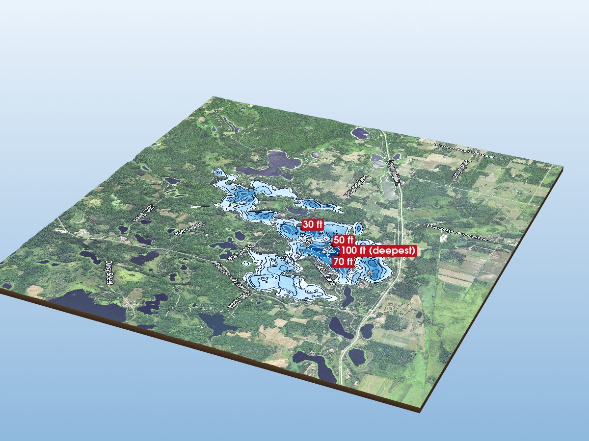
Cedar Lake (Main Basin)
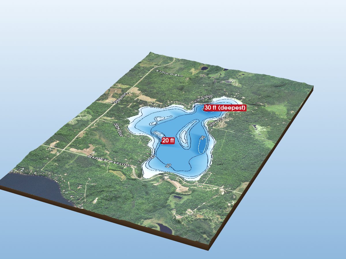
Esquagamah Lake
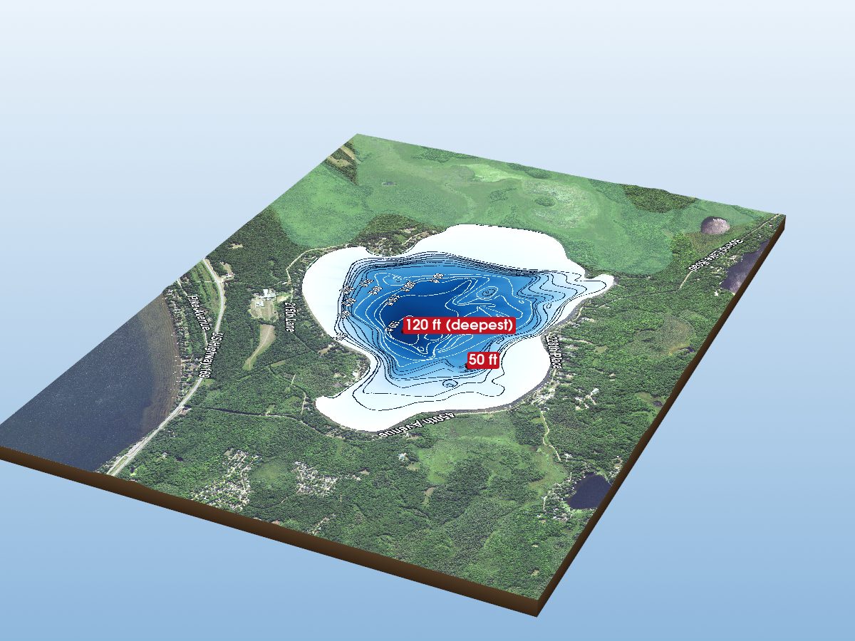
Round Lake
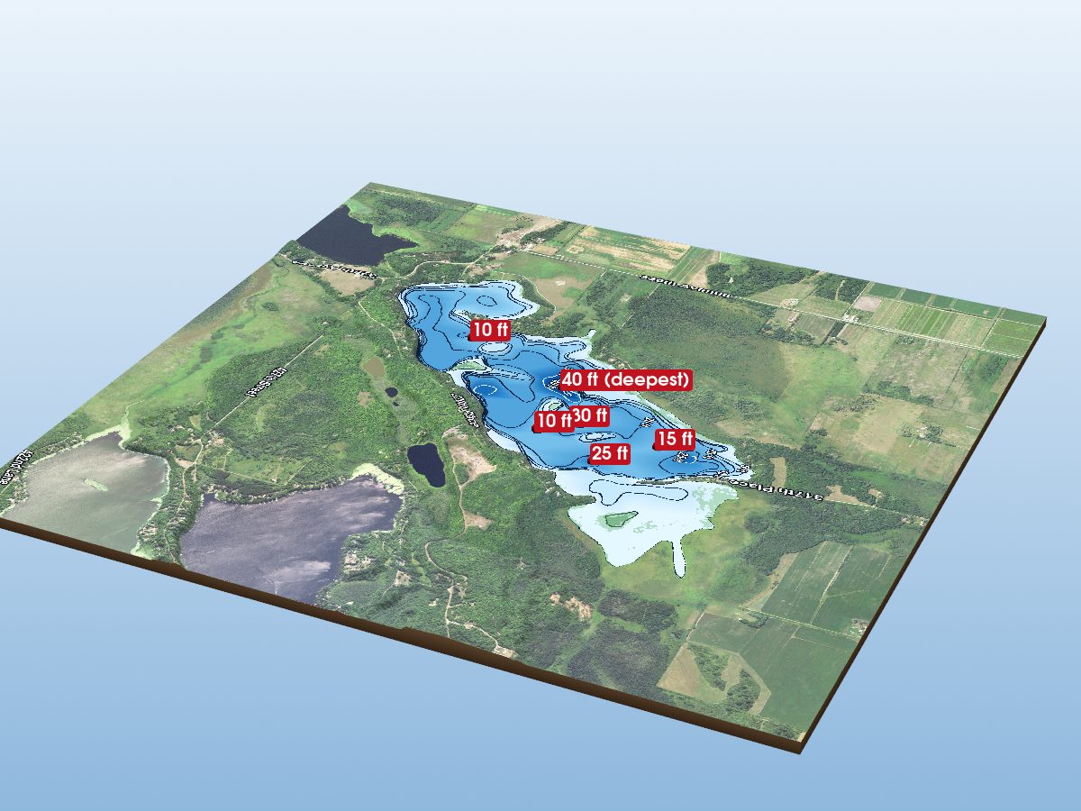
Gun Lake
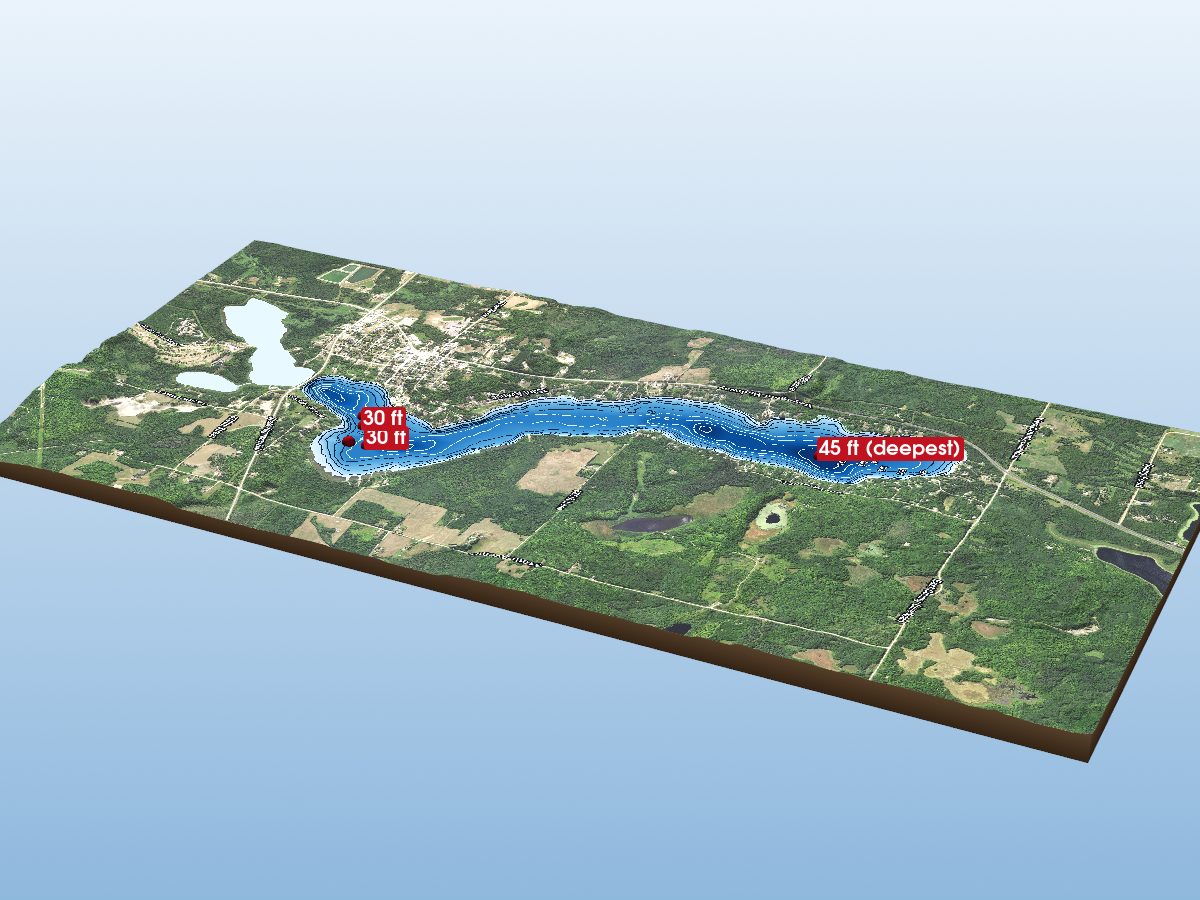
Hill Lake (North Basin)
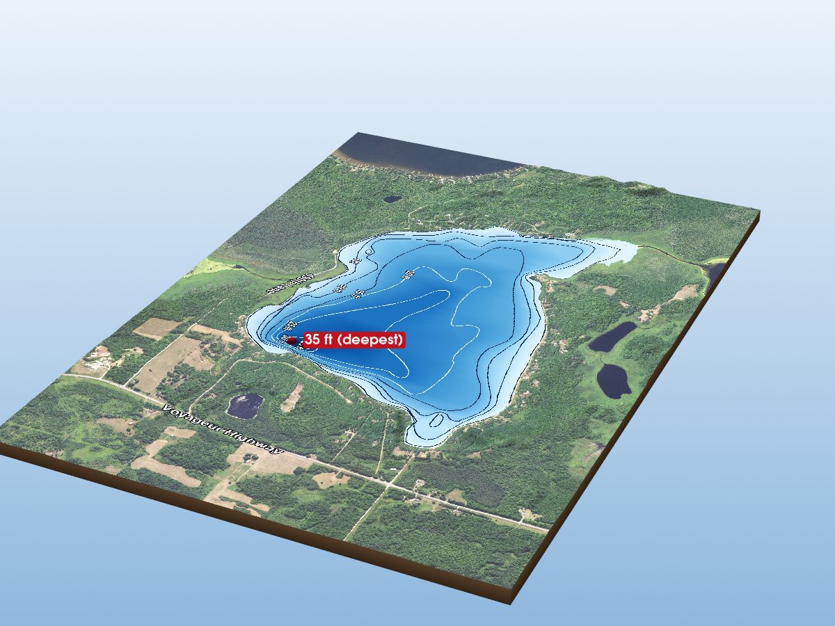
Waukenabo Lake
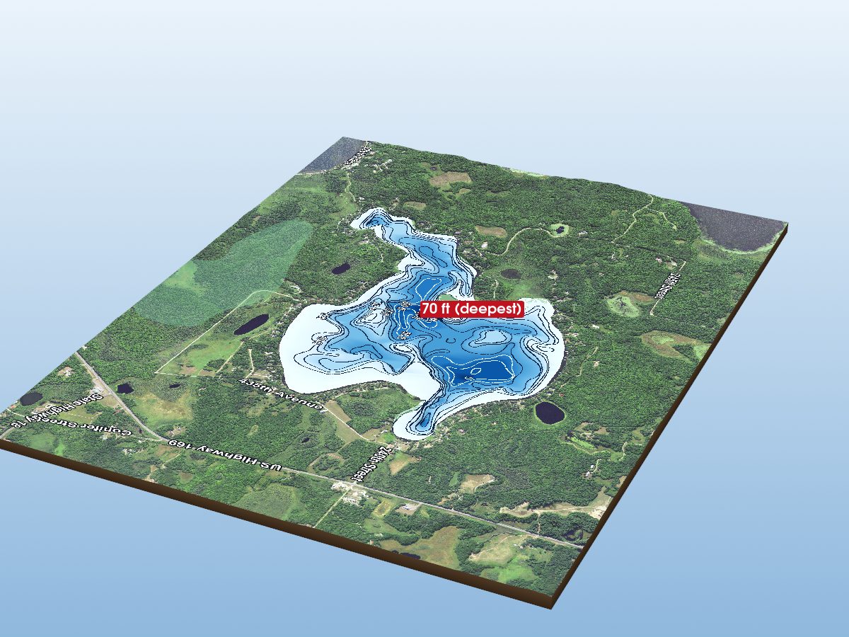
Big Pine Lake
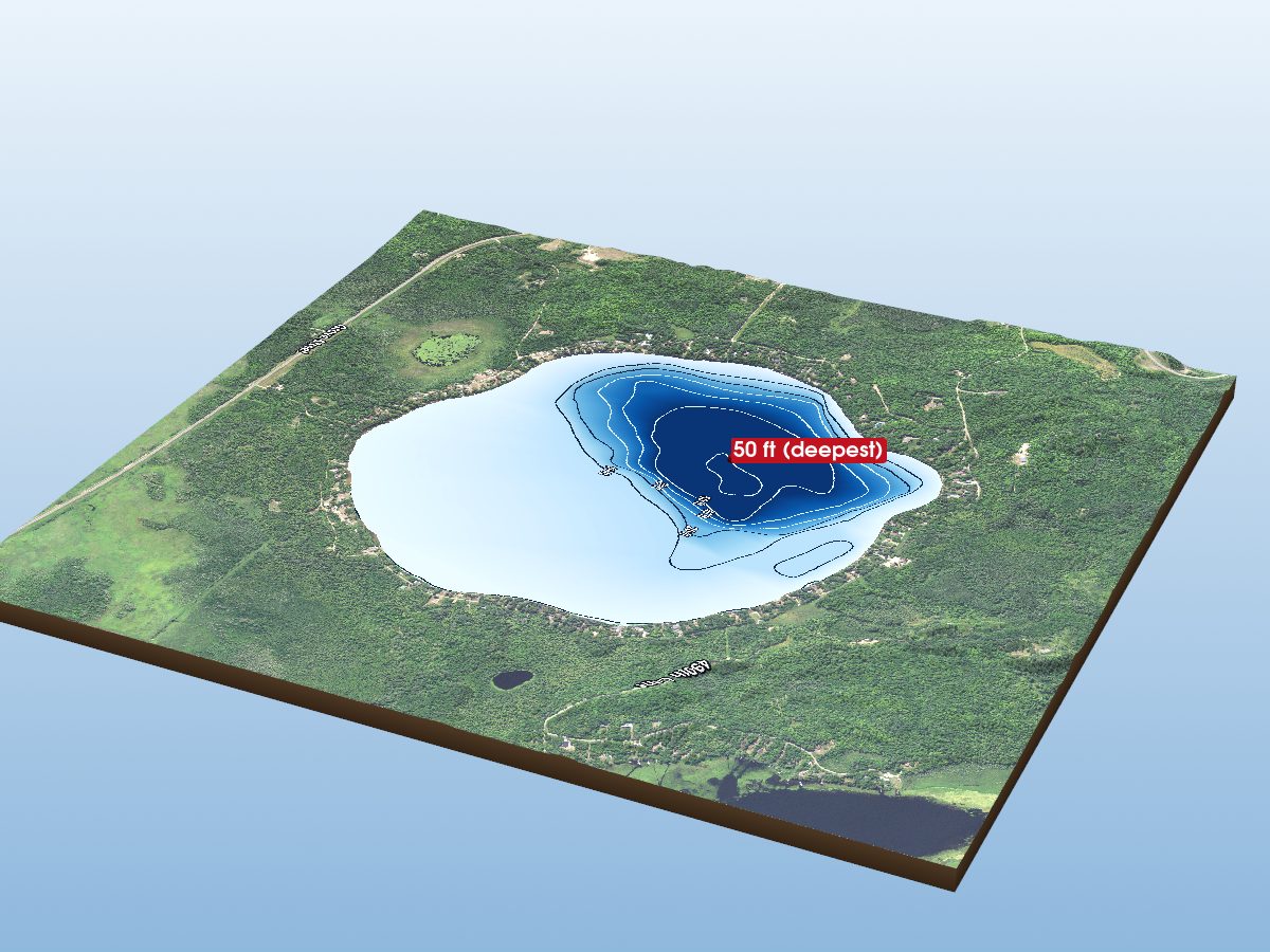
Round Lake
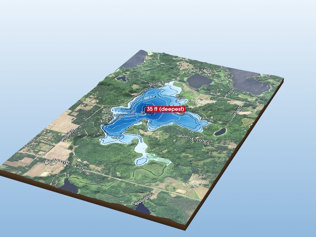
Ripple Lake
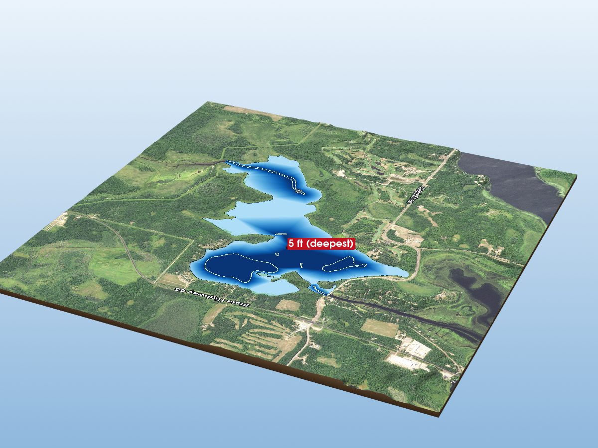
Flowage Lake
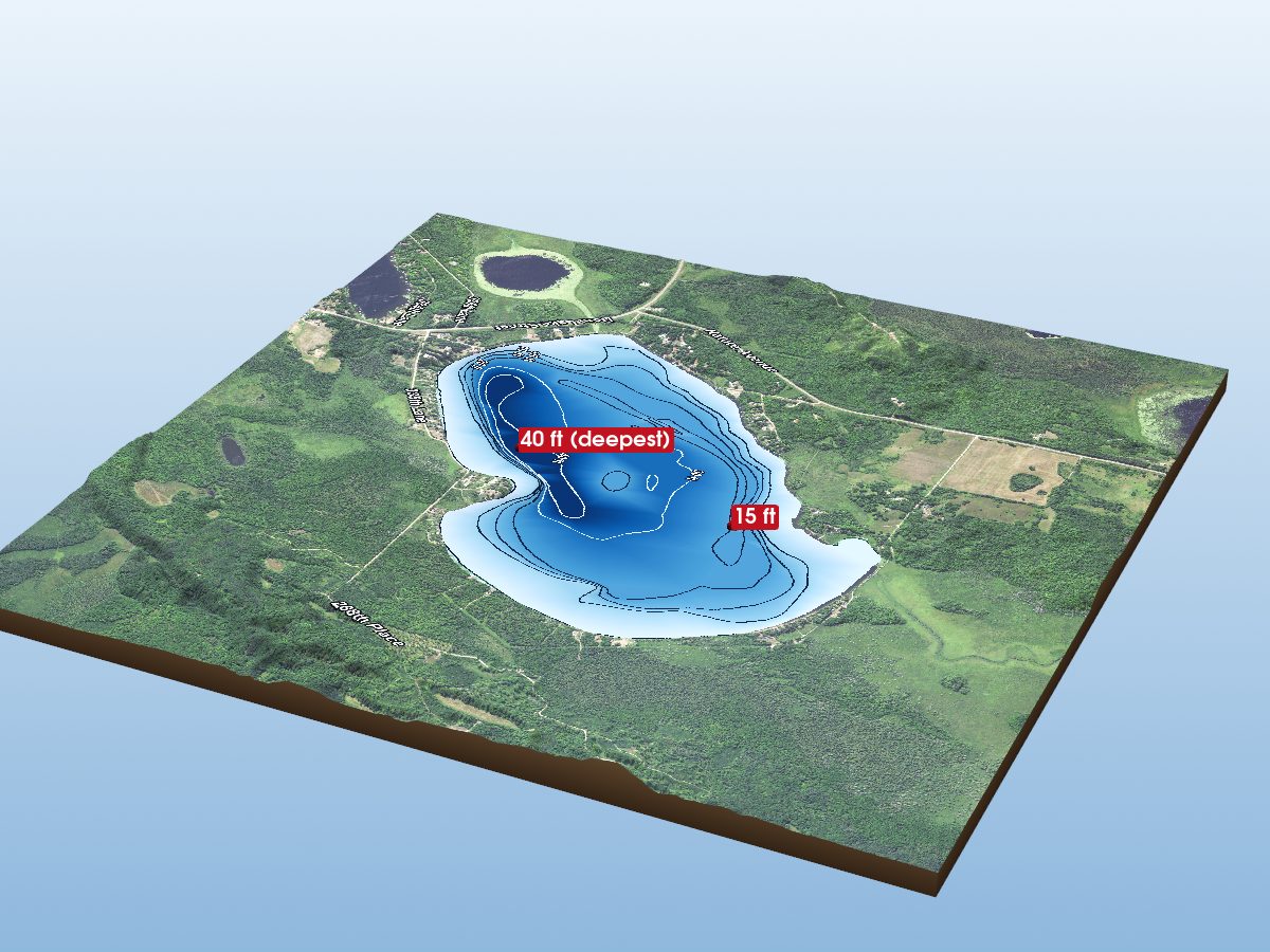
Dam Lake
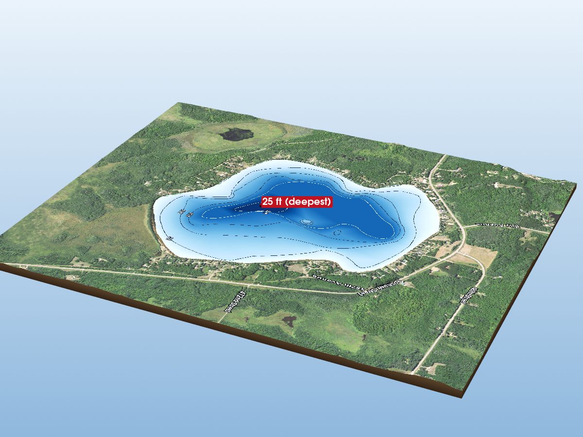
Round Lake
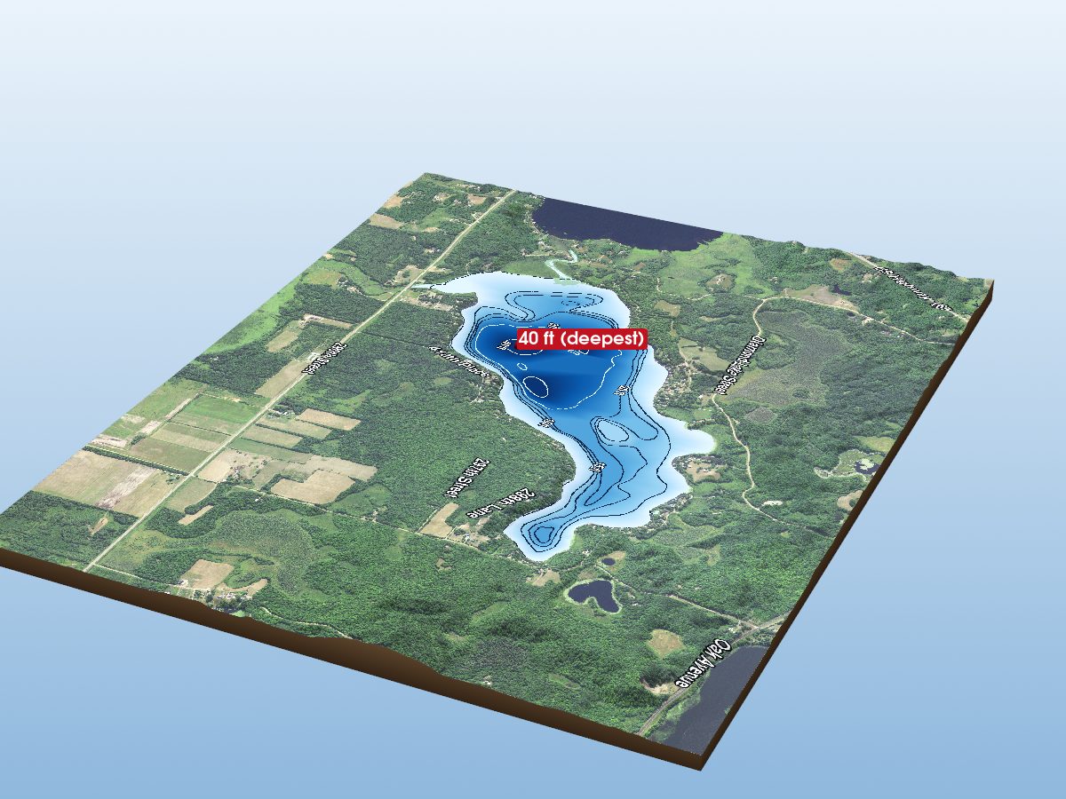
Spirit Lake
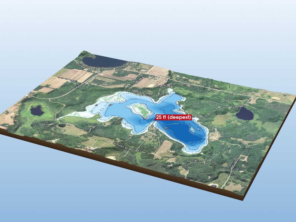
Elm Island Lake
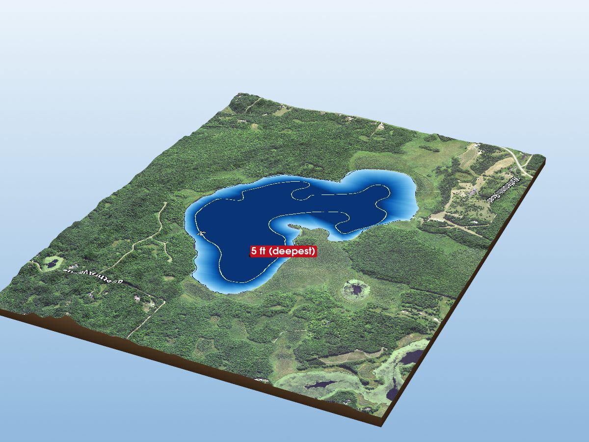
Birch Lake
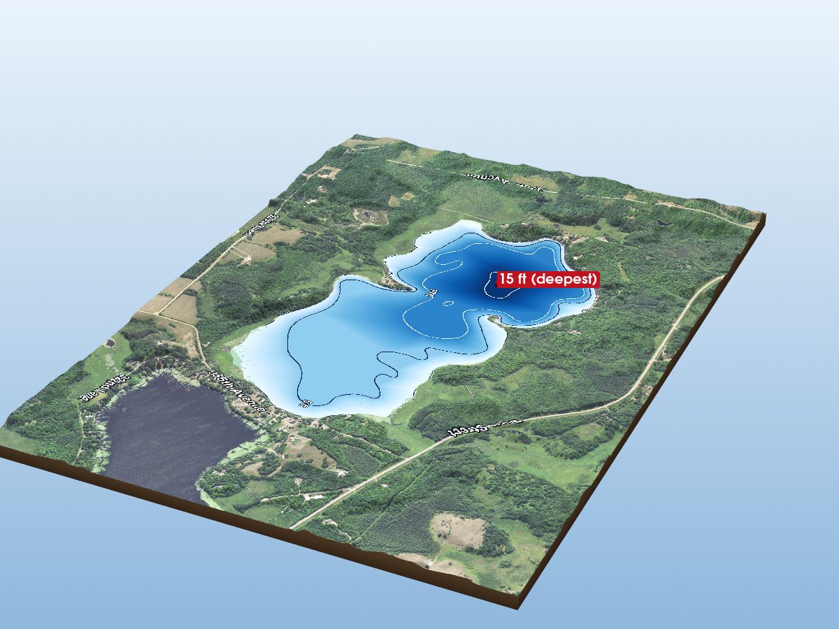
Section Ten Lake
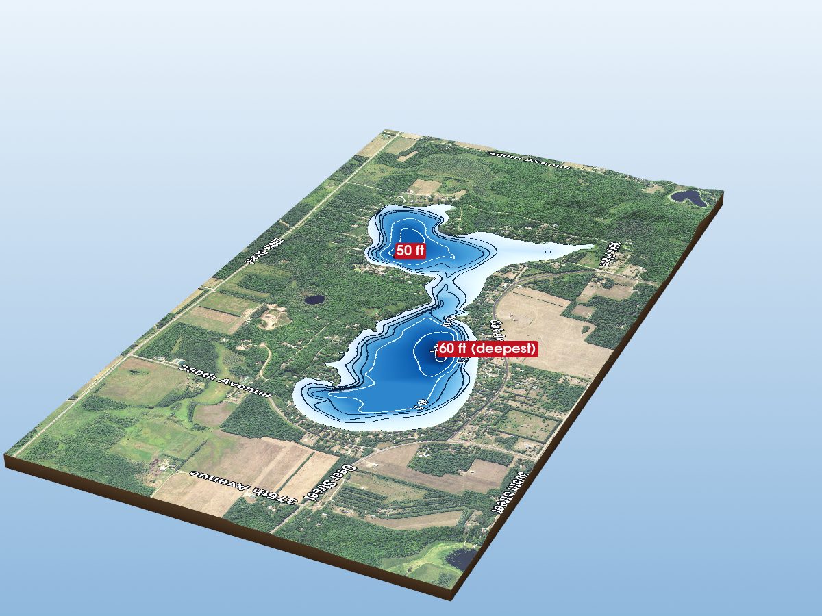
Lone Lake
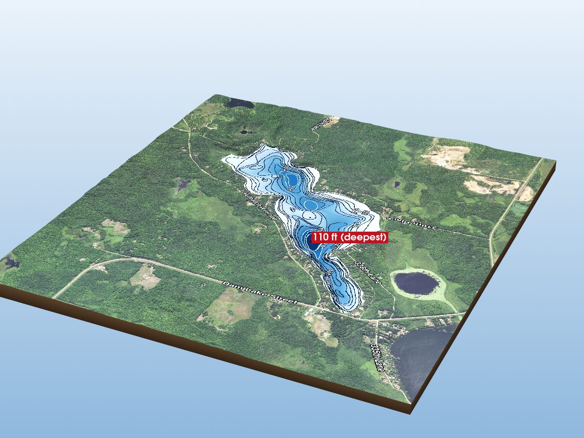
Long Lake
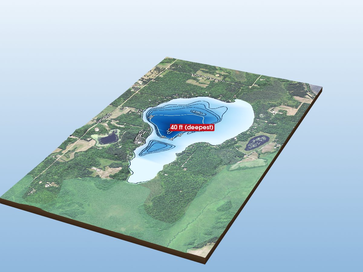
Sugar Lake
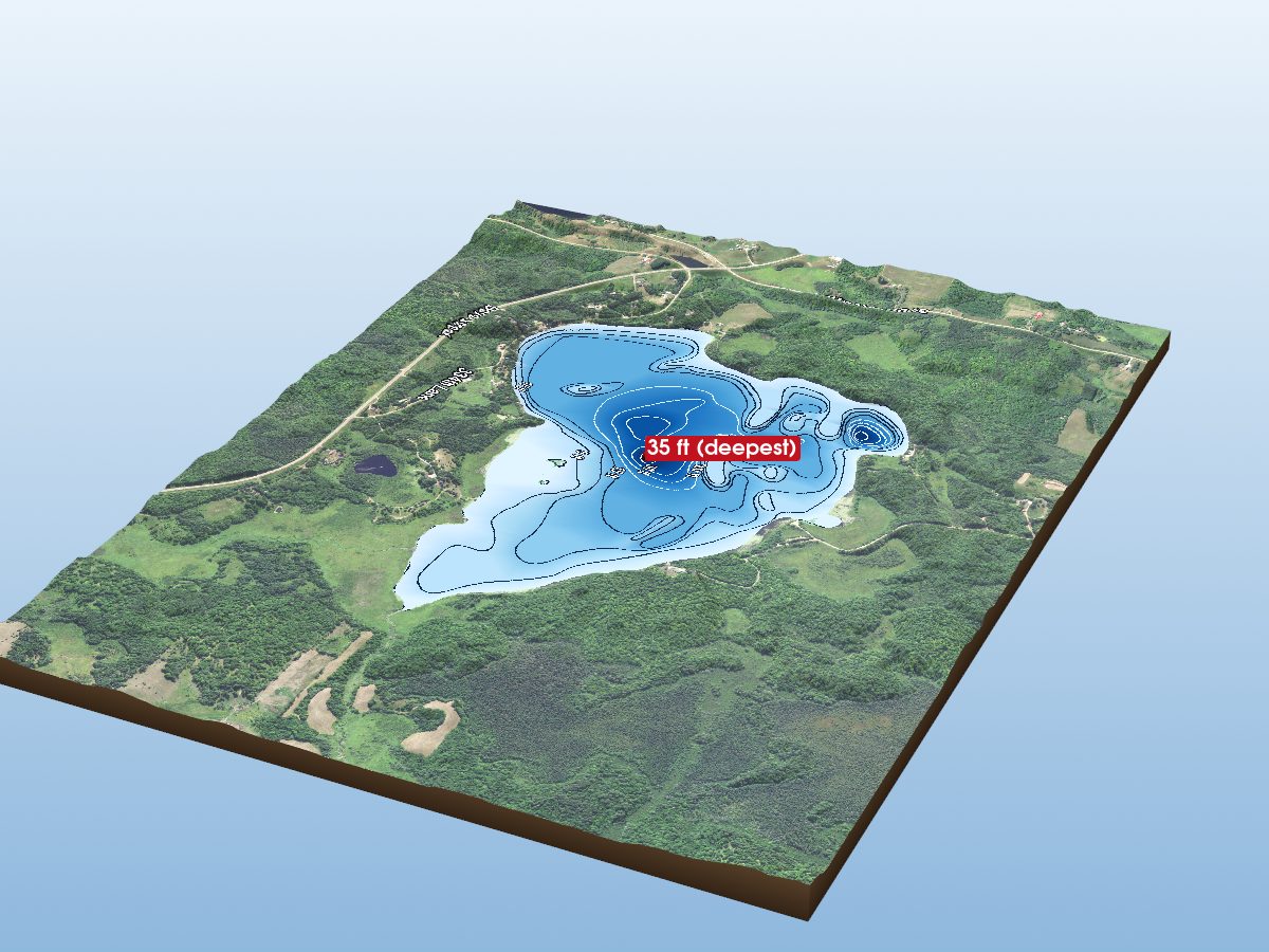
Sissabagamah Lake
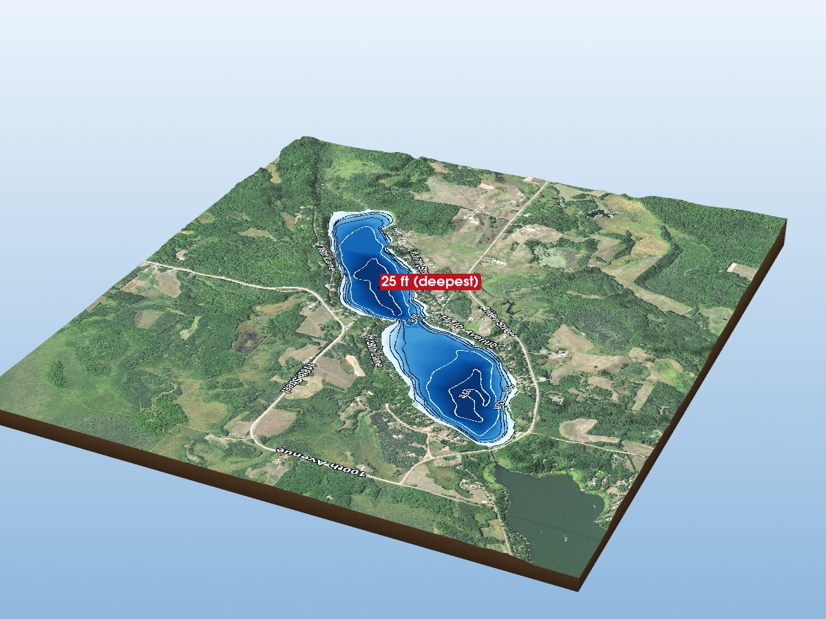
Pine Lake
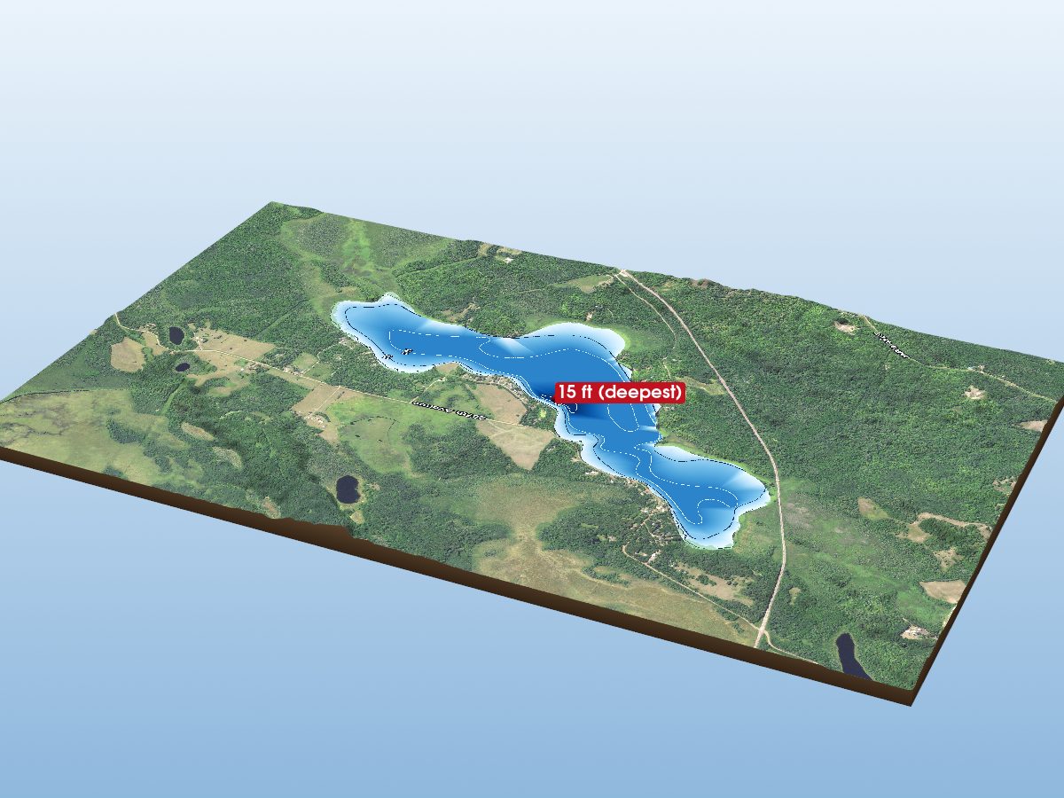
Portage Lake
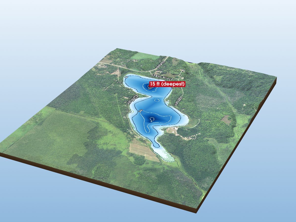
Blind Lake
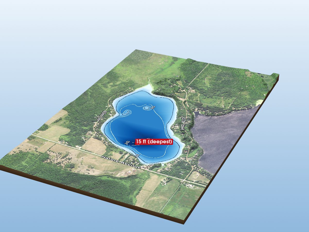
Fleming Lake
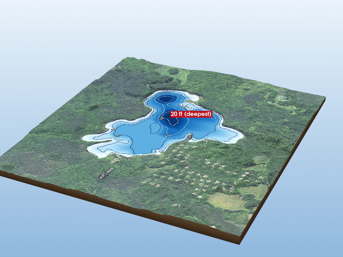
Moulton Lake
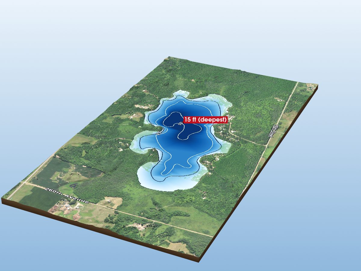
Cedar Lake
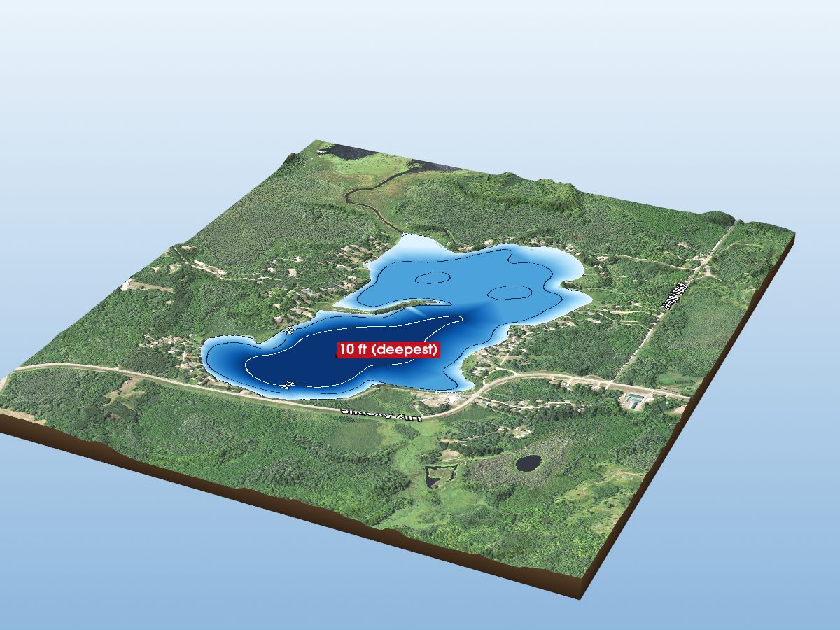
Horseshoe Lake
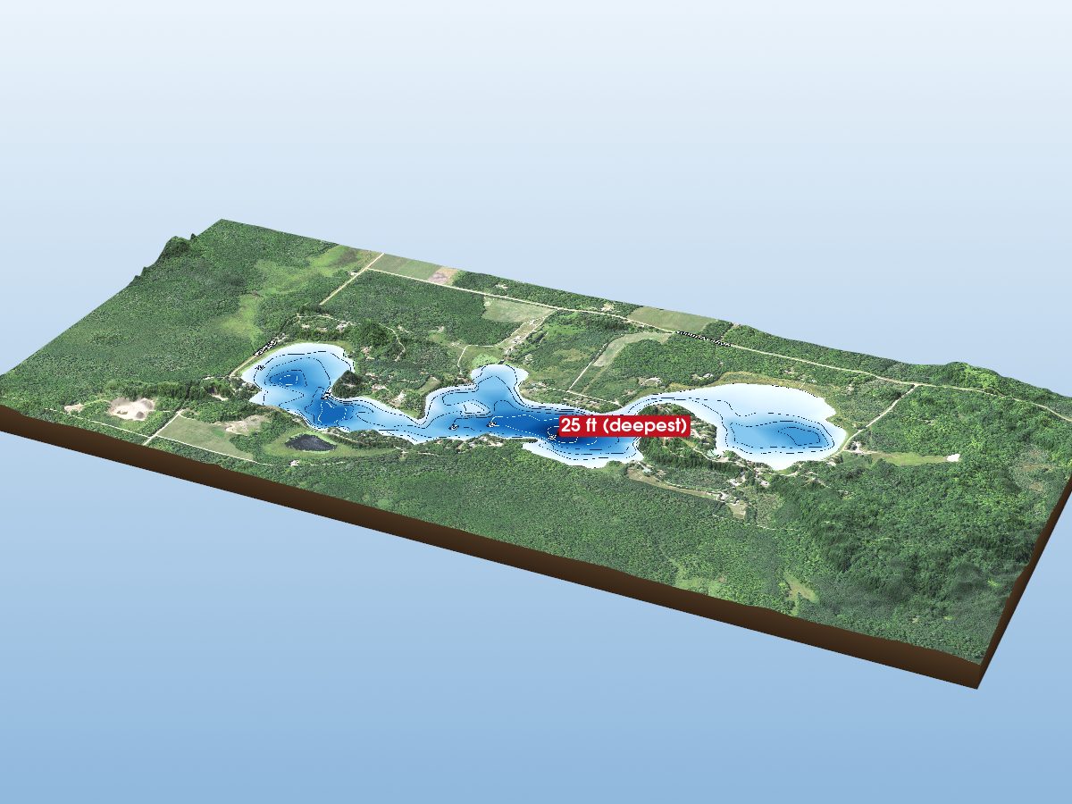
Vanduse Lake
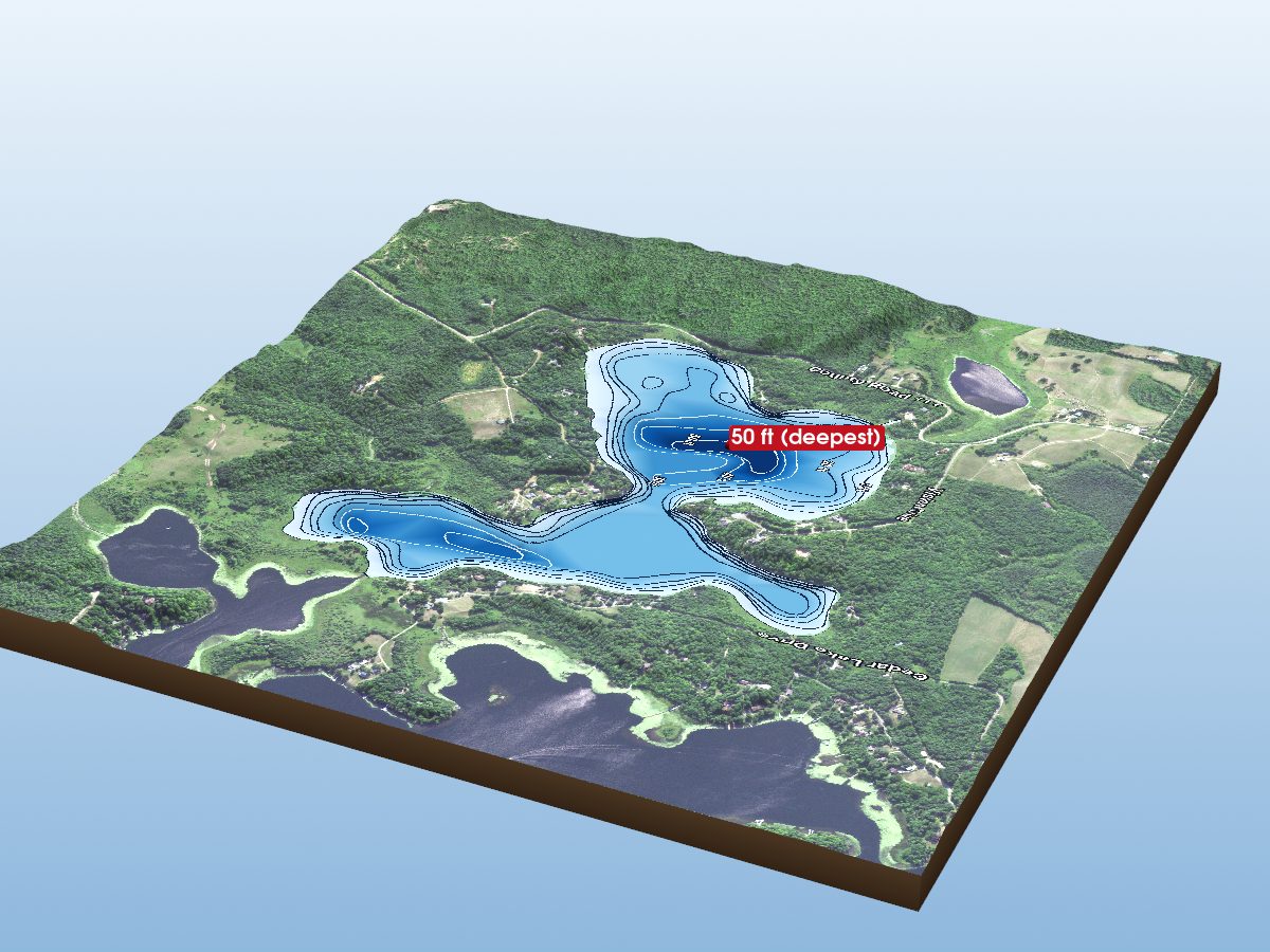
Cedar Lake (West Bay)
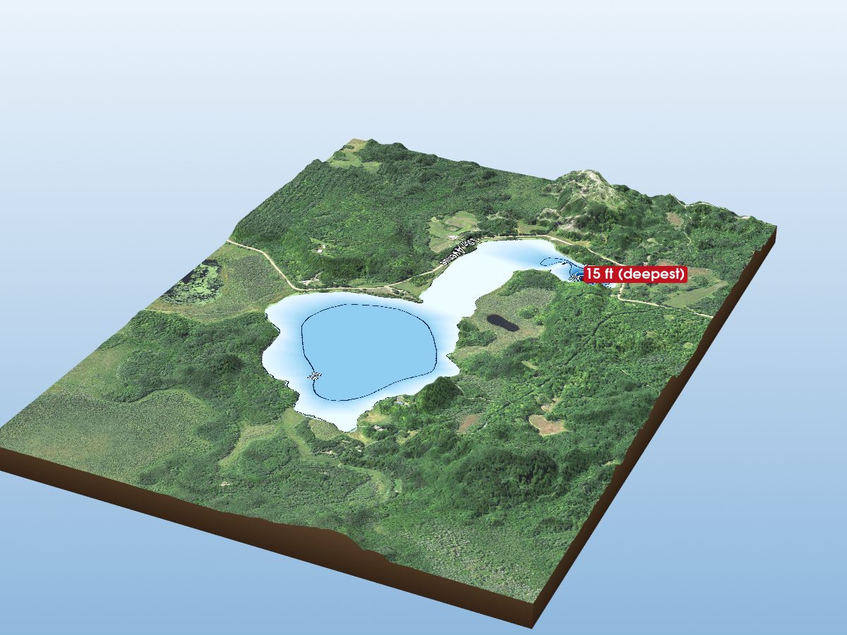
Blackface Lake
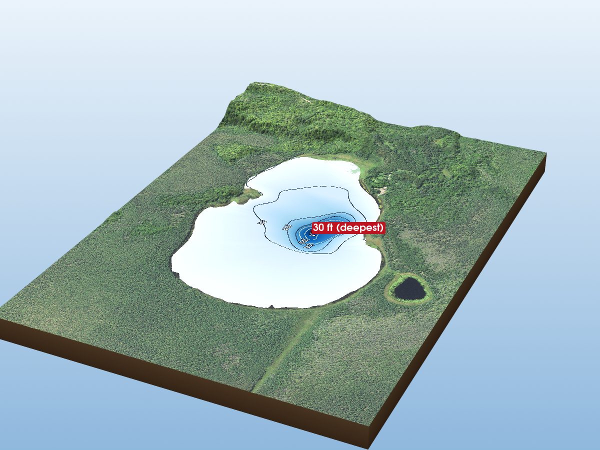
Wolf Lake
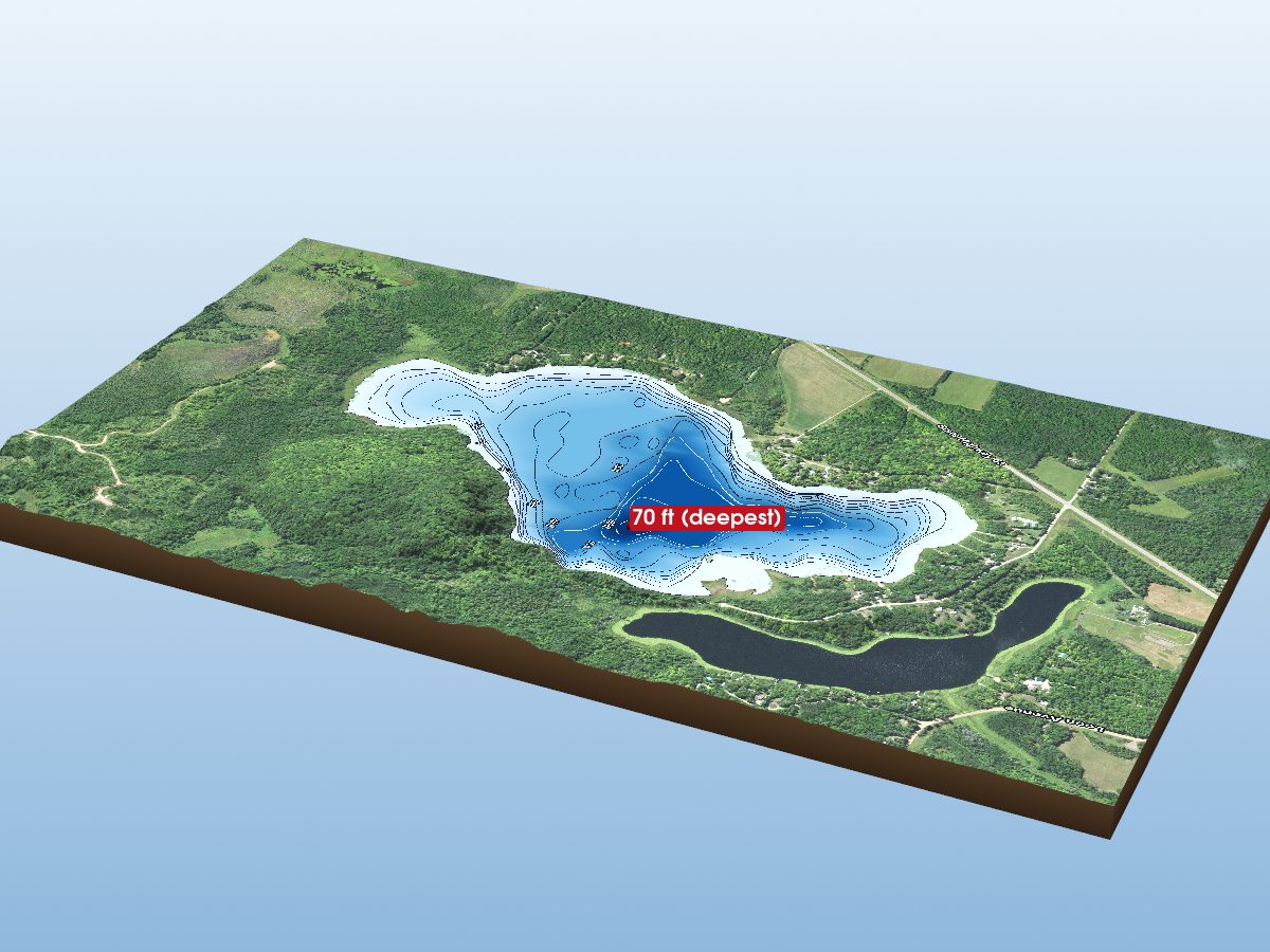
Ball Bluff Lake
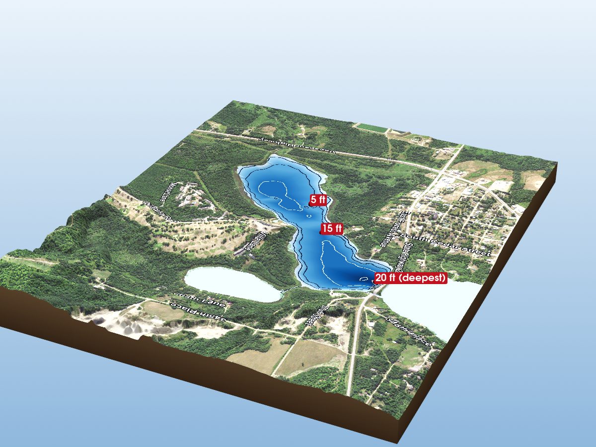
Hill Lake (South Basin)
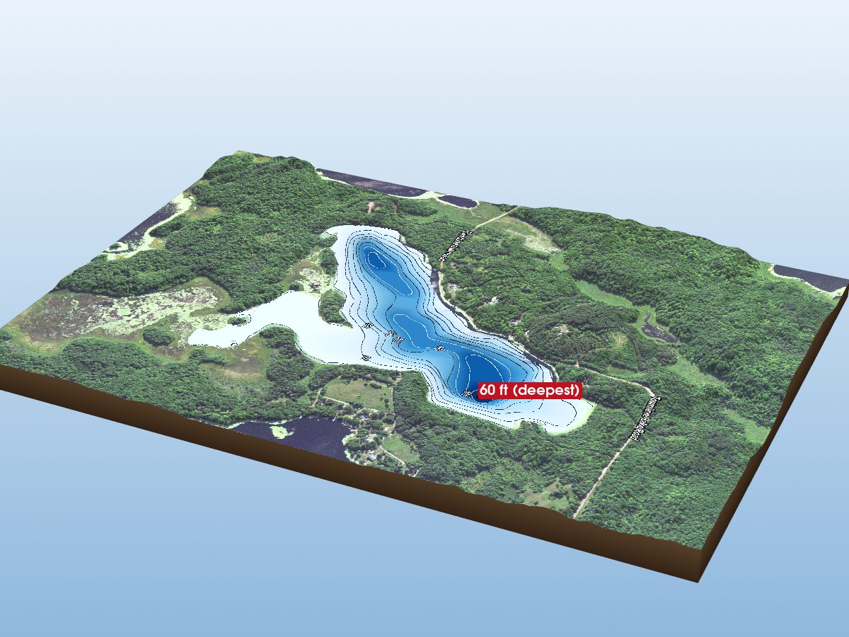
Town Line Lake
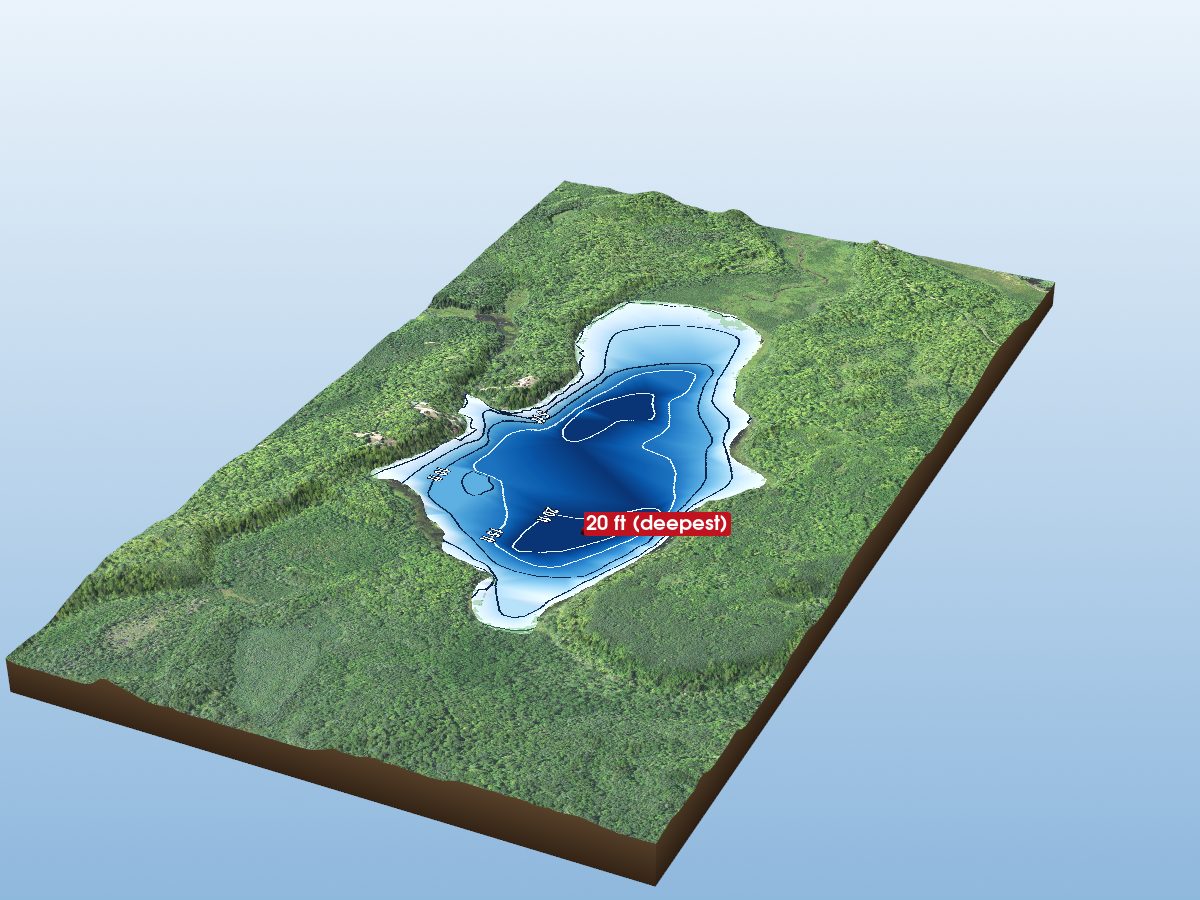
Cutaway Lake
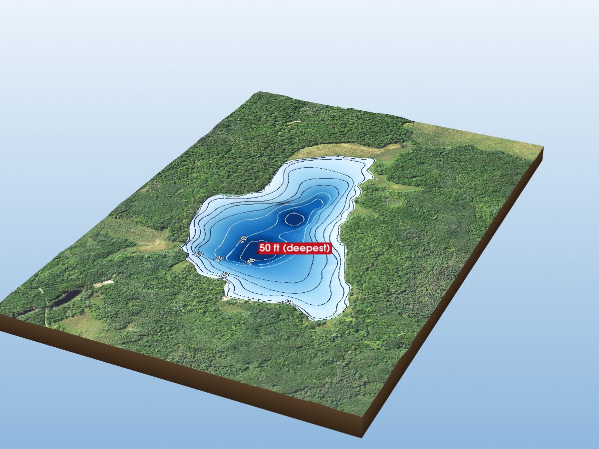
Holy Water Lake
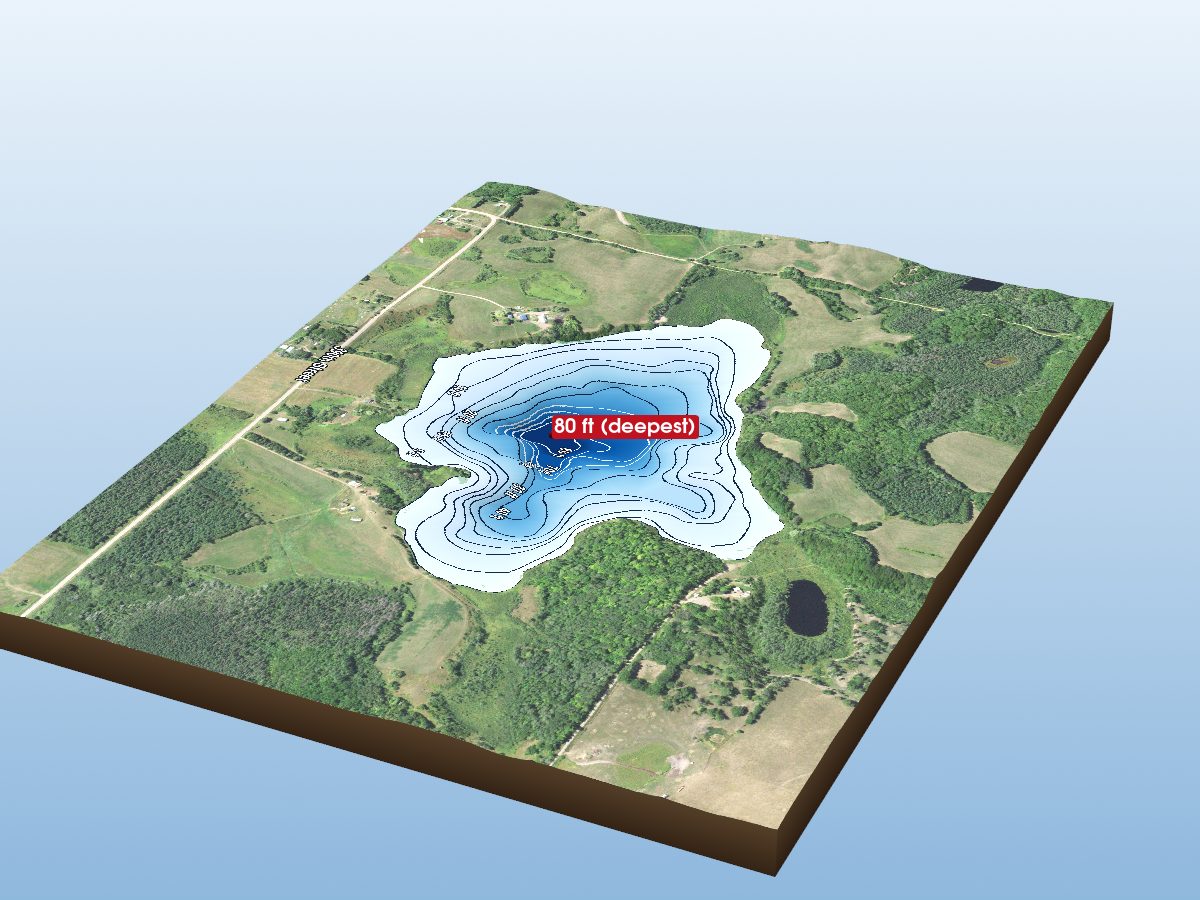
Sheriff Lake
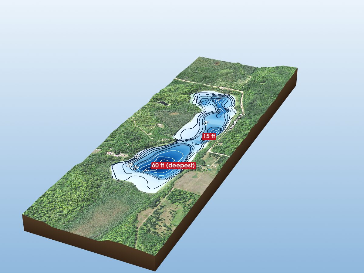
Boot Lake
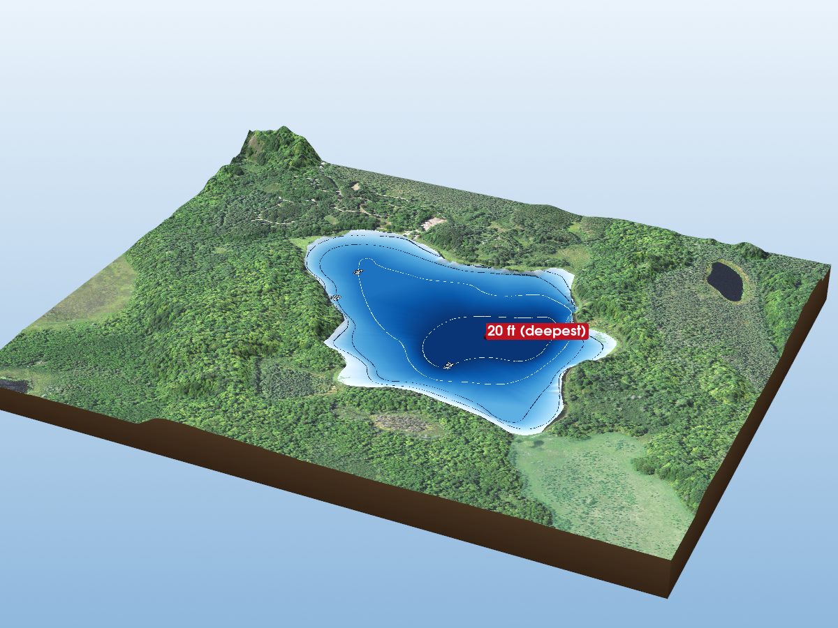
Shumway Lake
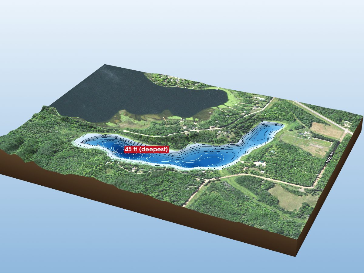
Little Ball Bluff Lake
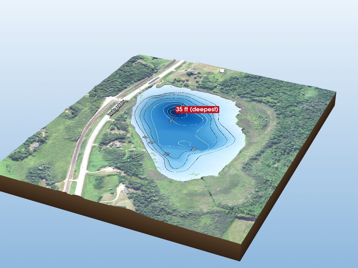
Bass Lake
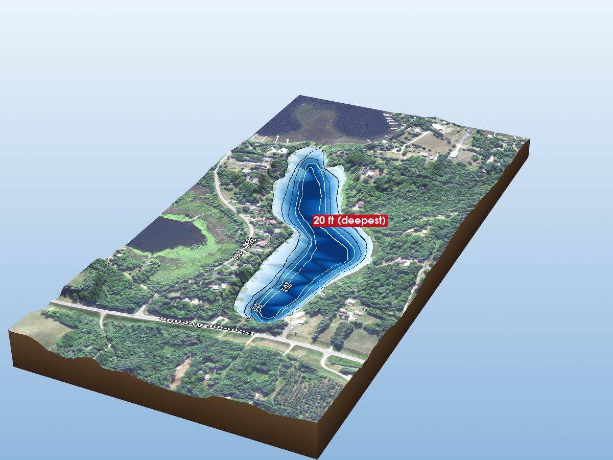
Cedar Lake (N.E. Arm)